
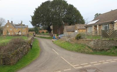
Marrie Mount, architectural structure in Hook Norton, Cherwell, Oxfordshire, UK
Posizione: Hook Norton
Coordinate GPS: 51.99691,-1.49168
Ultimo aggiornamento: 2 marzo 2025 alle 23:43
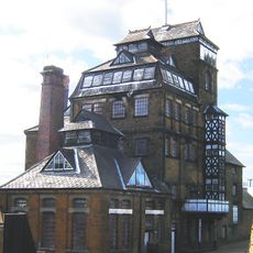
Hook Norton Brewery
198 m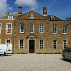
Whichford House
4 km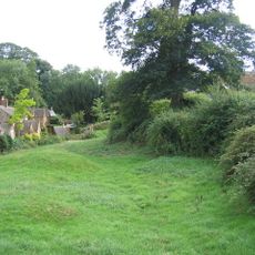
Swerford Castle
3.1 km
Church of St Peter
540 m
Church of St Mary
3.1 km
Church of St Michael
4 km
Church of Saint Giles
4.1 km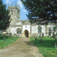
Church of St Andrew
2.9 km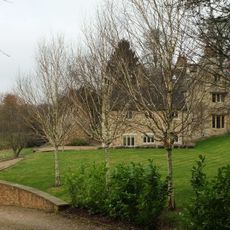
Church End
3 km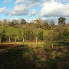
Baptist Chapel
435 m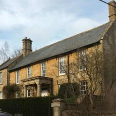
Church End House
3.1 km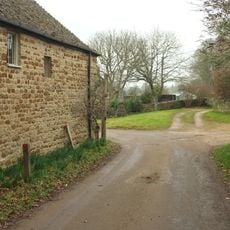
Swerford War Memorial
3.1 km
Timms Memorial Approximately 10 Metres South East Of Church Of St Andrew
2.9 km
Harbiage Memorial Approximately 10 Metres South Of Chancel Of Church Of St Andrew
2.9 km
Benacre Cottage
912 m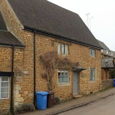
The Old Post Office
691 m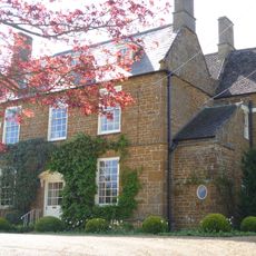
Old Rectory
3.1 km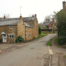
The Old Surgery
817 m
House To Right Of The Old Sweet Shop
319 m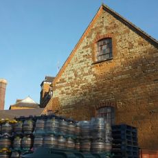
Malthouse At Hook Norton Brewery
174 m
Milestone Approximately 250 Metres West Of The Masons Arms
4 km
Hook Norton Library
454 m
Whichford War Memorial
3.8 km
Churchyard Cross And 2 Tombs Approximately 8 Metres South Pf South Aisle Of Church Of St Andrew
2.9 km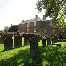
Priestfield
546 m
The Old Sweet Shop
313 m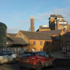
Office Block At Hook Nortomn Brewery
164 m
Petra
303 mRecensioni
Ha visitato questo luogo? Tocchi le stelle per valutarlo e condividere la Sua esperienza o foto con la community! Provalo ora! Puoi annullarlo in qualsiasi momento.
Scopri tesori nascosti ad ogni viaggio!
Da piccoli caffè caratteristici a panorami nascosti, fuggi dalla folla e scova i posti che fanno davvero per te. La nostra app ti semplifica tutto: ricerca vocale, filtri furbi, percorsi ottimizzati e dritte autentiche da viaggiatori di tutto il mondo. Scaricala subito per vivere l'avventura sul tuo smartphone!

Un nuovo approccio alla scoperta turistica❞
— Le Figaro
Tutti i luoghi che meritano di essere esplorati❞
— France Info
Un’escursione su misura in pochi clic❞
— 20 Minutes