
Hook Norton, village and civil parish in Cherwell district, Oxfordshire, England
Posizione: Cherwell
Confina con: Sibford Gower, Rollright, Swerford, Wigginton, Swalcliffe, Sibford Ferris, Little Tew
Sito web: http://hook-norton.org.uk
Coordinate GPS: 52.00000,-1.48000
Ultimo aggiornamento: 2 marzo 2025 alle 23:52
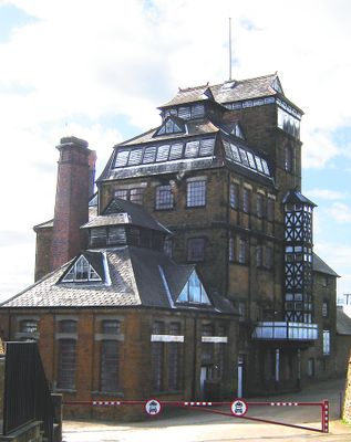
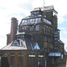
Hook Norton Brewery
1.1 km
Swerford Castle
2.8 km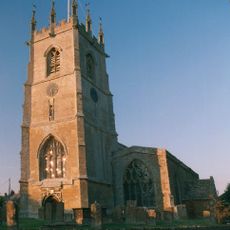
Church of St Peter
587 m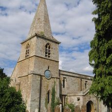
Church of St Mary
2.9 km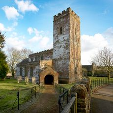
Church of Saint Giles
3.3 km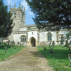
Church of St Andrew
3.8 km
Church End
2.8 km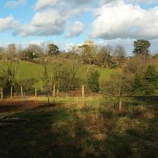
Baptist Chapel
707 m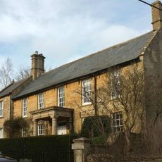
Church End House
3.9 km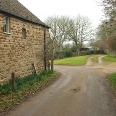
Swerford War Memorial
2.9 km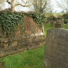
Timms Memorial Approximately 10 Metres South East Of Church Of St Andrew
3.8 km
Benacre Cottage
802 m
The Old Post Office
308 m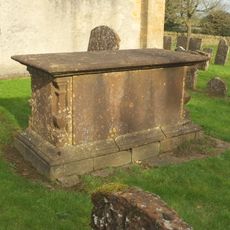
Harbiage Memorial Approximately 10 Metres South Of Chancel Of Church Of St Andrew
3.8 km
Hook Norton Library
632 m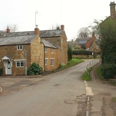
The Old Surgery
203 m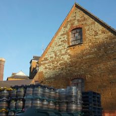
Malthouse At Hook Norton Brewery
1 km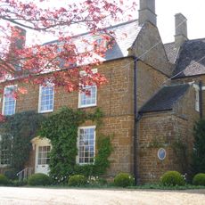
Old Rectory
2.9 km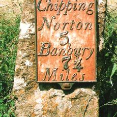
Milestone Approximately 250 Metres West Of The Masons Arms
3.7 km
House To Right Of The Old Sweet Shop
689 m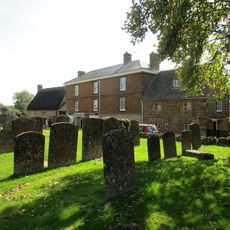
Priestfield
617 m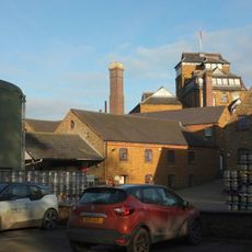
Office Block At Hook Nortomn Brewery
1 km
The Old Sweet Shop
692 m
Churchyard Cross And 2 Tombs Approximately 8 Metres South Pf South Aisle Of Church Of St Andrew
3.8 km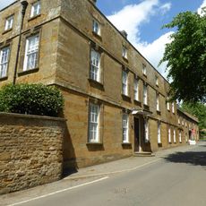
Sibford School
3.7 km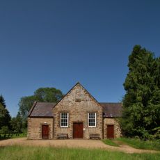
Sibford Quaker Meeting House
4.2 km
Petra
697 m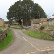
Marrie Mount
871 mRecensioni
Ha visitato questo luogo? Tocchi le stelle per valutarlo e condividere la Sua esperienza o foto con la community! Provalo ora! Puoi annullarlo in qualsiasi momento.
Scopri tesori nascosti ad ogni viaggio!
Da piccoli caffè caratteristici a panorami nascosti, fuggi dalla folla e scova i posti che fanno davvero per te. La nostra app ti semplifica tutto: ricerca vocale, filtri furbi, percorsi ottimizzati e dritte autentiche da viaggiatori di tutto il mondo. Scaricala subito per vivere l'avventura sul tuo smartphone!

Un nuovo approccio alla scoperta turistica❞
— Le Figaro
Tutti i luoghi che meritano di essere esplorati❞
— France Info
Un’escursione su misura in pochi clic❞
— 20 Minutes