
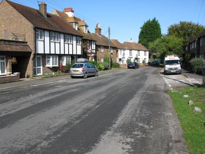
Newington, village and civil parish in Folkestone and Hythe, Kent, England
Posizione: Folkestone and Hythe
Coordinate GPS: 51.09200,1.11440
Ultimo aggiornamento: 23 aprile 2025 alle 22:02

Operation Stack
1.5 km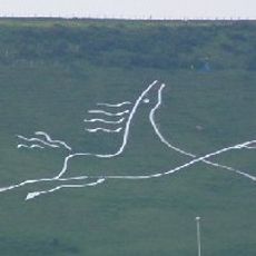
Folkestone White Horse
2 km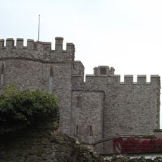
Saltwood Castle
2.4 km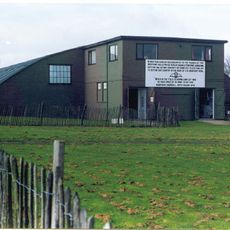
Kent Battle of Britain Museum
3.5 km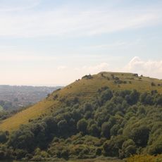
Folkestone Castle
3.3 km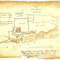
Shorncliffe Redoubt
2.1 km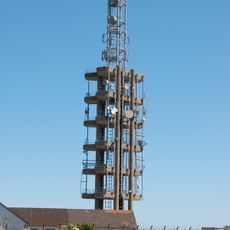
Tolsford Hill BT Tower
2.7 km
Folkestone & Hythe Operatic & Dramatic Society
2 km
Folkestone to Etchinghill Escarpment
1.6 km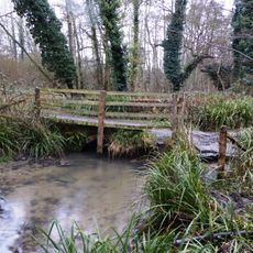
Seabrook Stream
673 m
Elham Valley Line Trust
809 m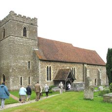
Church of St Peter and St Paul, Saltwood
2.6 km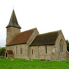
Church of St Mary and St Radegund
4.1 km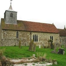
Church of St Nicholas
250 m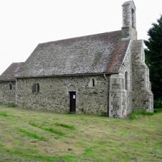
St Oswald's Church, Paddlesworth
2.9 km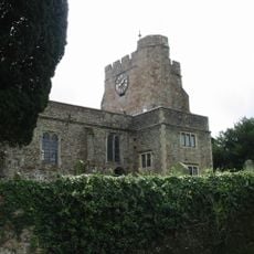
Church of St Mary and St Ethelburga, and Remains of the Older Church to South
4.3 km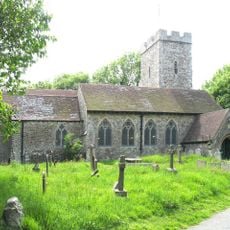
Church of St Martin
1 km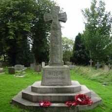
Lyminge War Memorial
4.3 km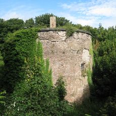
Martello Tower No. 7
2.5 km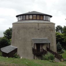
Martello Tower No. 8
2.3 km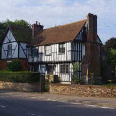
Old Robus
4.6 km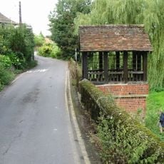
St Ethelburga's Well And Wall To North And South
4.3 km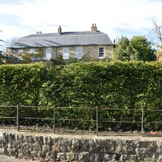
Saltwood House
2.8 km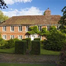
Lindon Hall
4.5 km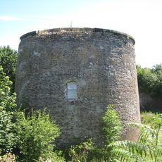
Martello Tower No. 9
2.2 km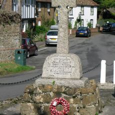
Newington and Peene War Memorial, Folkestone and Hythe
292 m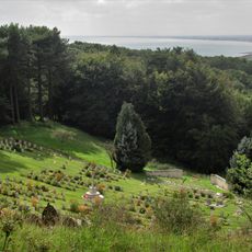
Shorncliffe Military Cemetery
2 km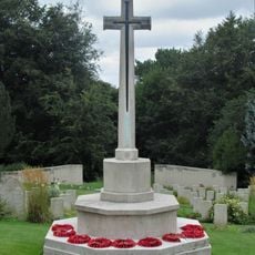
Shorncliffe Military Cemetery Cross of Sacrifice, Folkestone
2 kmRecensioni
Ha visitato questo luogo? Tocchi le stelle per valutarlo e condividere la Sua esperienza o foto con la community! Provalo ora! Puoi annullarlo in qualsiasi momento.
Scopri tesori nascosti ad ogni viaggio!
Da piccoli caffè caratteristici a panorami nascosti, fuggi dalla folla e scova i posti che fanno davvero per te. La nostra app ti semplifica tutto: ricerca vocale, filtri furbi, percorsi ottimizzati e dritte autentiche da viaggiatori di tutto il mondo. Scaricala subito per vivere l'avventura sul tuo smartphone!

Un nuovo approccio alla scoperta turistica❞
— Le Figaro
Tutti i luoghi che meritano di essere esplorati❞
— France Info
Un’escursione su misura in pochi clic❞
— 20 Minutes