
Bucknell, village and civil parish in Cherwell district, Oxfordshire, England
Posizione: Cherwell
Confina con: Stoke Lyne, Ardley, Middleton Stoney, Chesterton, Bicester, Caversfield
Sito web: http://bucknell.me.uk
Coordinate GPS: 51.92700,-1.18600
Ultimo aggiornamento: 9 aprile 2025 alle 03:58

Middleton Park, Oxfordshire
4.3 km
Aves ditch
5.8 km
Bicester Bowl
3.4 km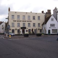
Kings Arms Hotel
4.2 km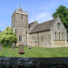
Church of St Peter, Stoke Lyne
2.7 km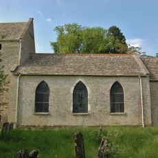
Church of St Mary
2.5 km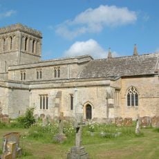
Church of All Saints
3.8 km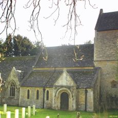
Church of St Lawrence
2.1 km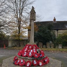
Bicester War Memorial
4.1 km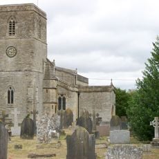
Church of St Mary, Chesterton
4.3 km
Church of St Mary
4.2 km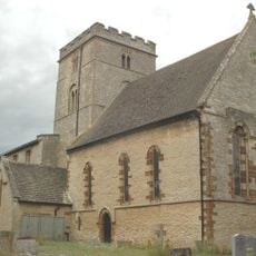
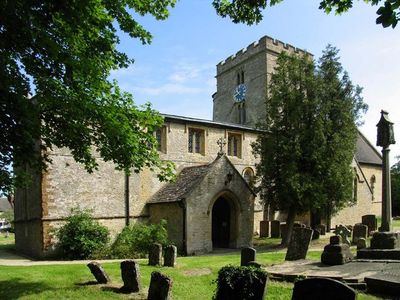
Church of St Peter
101 m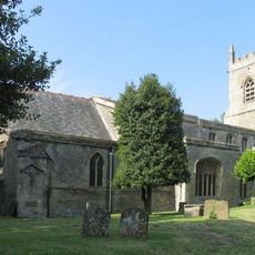
Church of St Edburg, Bicester
4.1 km
Bell Inn
3.8 km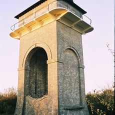
Trow Pool water tower
1.5 km
The Old Court House
4.1 km
45 And 52, Market Square
4.1 km
44, Market Square
4.1 km
17, Market Square
4.1 km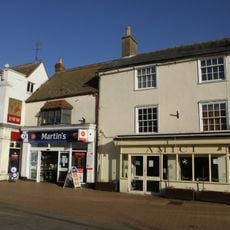
20, Sheep Street
4.1 km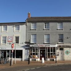
7 And 8, Market Square
4.1 km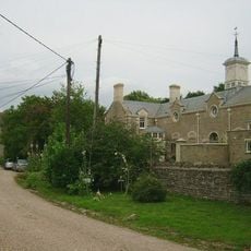
Chesterton Lodge Including Forecourt Balustrade Immediately West
4.5 km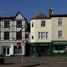
46, 48 And 51, Market Square
4.1 km
Cold War structures at the former Upper Heyford Airbase
4.9 km
9, London Road
4.3 km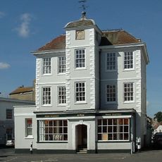
47, Market Square
4.2 km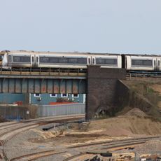
Bicester intersection bridge
4.5 km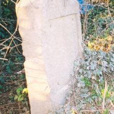
Milestone, Station Road; between railway bridge and southern edge of Ardley, S of Uplands
2.3 kmRecensioni
Ha visitato questo luogo? Tocchi le stelle per valutarlo e condividere la Sua esperienza o foto con la community! Provalo ora! Puoi annullarlo in qualsiasi momento.
Scopri tesori nascosti ad ogni viaggio!
Da piccoli caffè caratteristici a panorami nascosti, fuggi dalla folla e scova i posti che fanno davvero per te. La nostra app ti semplifica tutto: ricerca vocale, filtri furbi, percorsi ottimizzati e dritte autentiche da viaggiatori di tutto il mondo. Scaricala subito per vivere l'avventura sul tuo smartphone!

Un nuovo approccio alla scoperta turistica❞
— Le Figaro
Tutti i luoghi che meritano di essere esplorati❞
— France Info
Un’escursione su misura in pochi clic❞
— 20 Minutes