
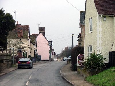
Walkern, village in the United Kingdom
Posizione: East Hertfordshire
Coordinate GPS: 51.91369,-0.12272
Ultimo aggiornamento: 9 marzo 2025 alle 05:06
Benington Castle
2 km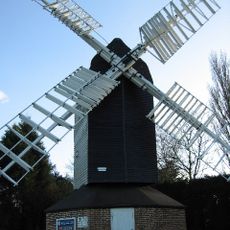
Cromer Windmill, Ardeley
3.3 km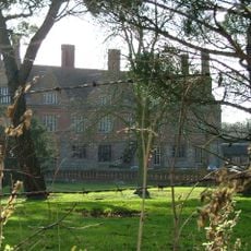
Aston Bury
4.2 km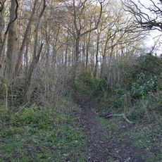
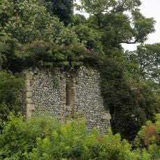
Benington High Wood
2.2 km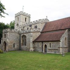
Parish Church of St Mary the Virgin
996 m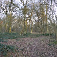
Moor Hall Meadows
3.9 km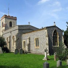
Parish Church of St Mary the Virgin
3.6 km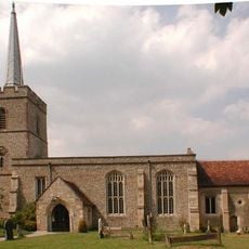
Parish Church of St John the Baptist
4.4 km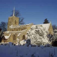
Parish Church of St Lawrence
2.2 km
Parish Church of St Peter, Benington
2 km
Village Pump And Wellhouse (On Green 90 Metres To North Of Church)
2.3 km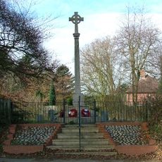
War Memorial on St Mary's Churchyard (70 Metres to East of Church)
3.5 km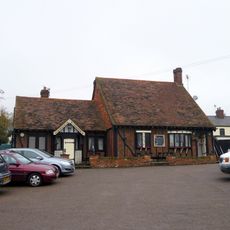
The Pig And Whistle Public House
3.3 km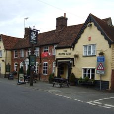
The White Lion Public House (On Corner Of Winters Lane)
873 m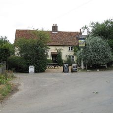
Rose Cottage and The Jolly Waggoner Public House
2.4 km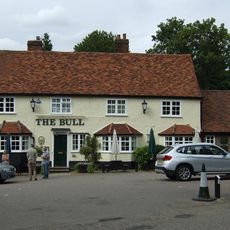
The Bull Public House
4.8 km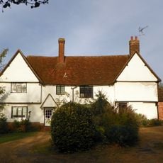
Chells Manor
2.6 km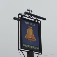
The Bell Public House
2.1 km
Home Close Cottages
4.7 km
Walkern Free Church (United Reformed Methodist)
1 km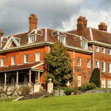
Benington Lordship
2 km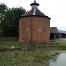
Dovecote At Manor Farm (30 Metres To South Of House)
966 m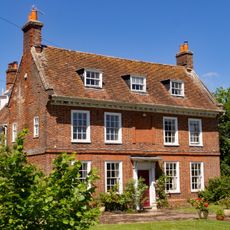
Farmhouse At Manor Farm
1 km
The Town House
4.5 km
The Place
4.5 km
Ardeley Parish Hall (At The South East Corner Of The Green)
2.3 km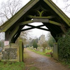
Lych Gate At St Peter's Church (100 Metres To East North East Of Chancel)
2 km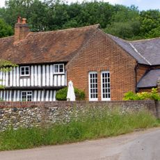
Farmhouse At Chapel Farm Including Former Congregational Chapel
3.3 kmRecensioni
Ha visitato questo luogo? Tocchi le stelle per valutarlo e condividere la Sua esperienza o foto con la community! Provalo ora! Puoi annullarlo in qualsiasi momento.
Scopri tesori nascosti ad ogni viaggio!
Da piccoli caffè caratteristici a panorami nascosti, fuggi dalla folla e scova i posti che fanno davvero per te. La nostra app ti semplifica tutto: ricerca vocale, filtri furbi, percorsi ottimizzati e dritte autentiche da viaggiatori di tutto il mondo. Scaricala subito per vivere l'avventura sul tuo smartphone!

Un nuovo approccio alla scoperta turistica❞
— Le Figaro
Tutti i luoghi che meritano di essere esplorati❞
— France Info
Un’escursione su misura in pochi clic❞
— 20 Minutes