
Orcop, village in Herefordshire, England, UK
Posizione: Herefordshire
Coordinate GPS: 51.93174,-2.76533
Ultimo aggiornamento: 3 marzo 2025 alle 14:11
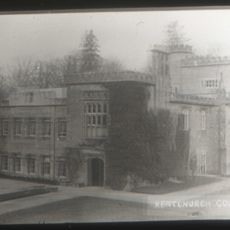
Kentchurch Court
5.2 km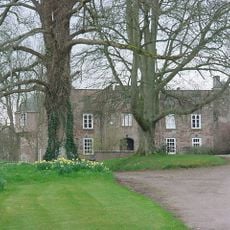
Treago Castle
2.8 km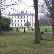
The Mynde
3.6 km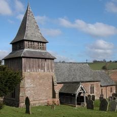
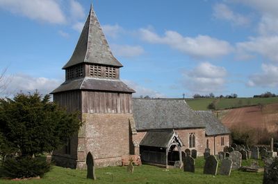
Church of St John the Baptist
114 m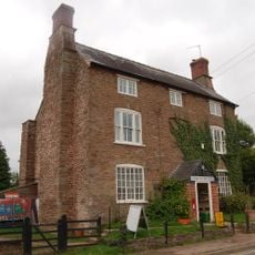
Post Office
2.8 km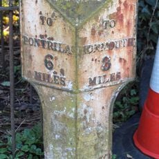
Milepost About 20 Yards East Of Baptist Chapel
4.2 km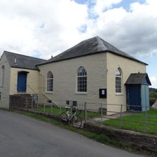
Baptist Chapel
4.2 km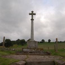
Orcop War Memorial
525 m
St Weonards Tump
2.8 km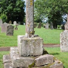
Churchyard cross in St John the Baptist's churchyard
105 m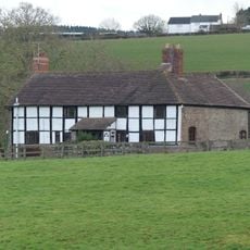
The Priory Farmhouse
4.9 km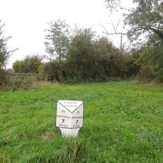
Milepost At So 469 226
3.6 km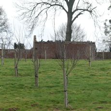
Kitchen garden walls to north of The Mynde
3.6 km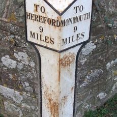
Milepost In Front Of Old Hendre
2.2 km
Ha ha about 30 yards to east of The Mynde
3.4 km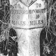
Milepost At Ngr So 495279
2.7 km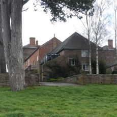
Outbuilding attached to north west of The Mynde
3.6 km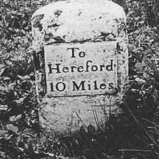
Milestone Opposite Pike Cottages At Ngr So 494248
2.4 km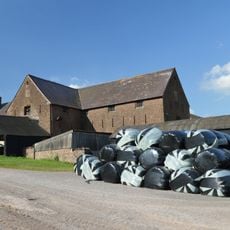
Barn At Treago Farm
2.5 km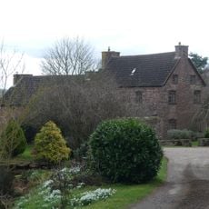
Newhouse Farmhouse and enclosing walls to north-west
3.9 km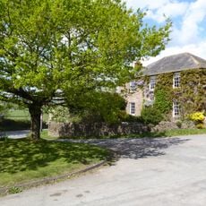
Church Farmhouse
2.8 km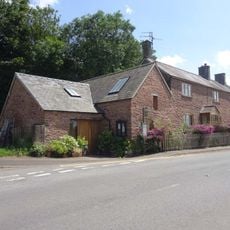
The Old Forge
2.8 km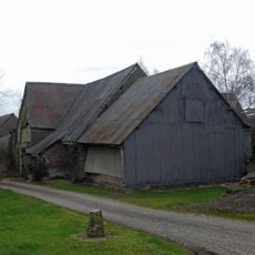
Barn about 50 yards south-west of Newhouse Farmhouse
3.9 km
Stables and outbuildings attached to south-west of The Mynde
3.5 km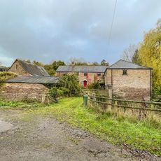
Bannut Tree Farmhouse
5.1 km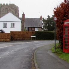
K6 Telephone Kiosk
2.8 km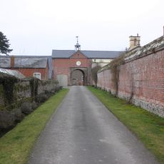
Garden walls to south of The Mynde
3.5 km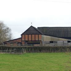
Group of two adjoining barns approximately 50 meters west of Priory Farmhouse
4.9 kmRecensioni
Ha visitato questo luogo? Tocchi le stelle per valutarlo e condividere la Sua esperienza o foto con la community! Provalo ora! Puoi annullarlo in qualsiasi momento.
Scopri tesori nascosti ad ogni viaggio!
Da piccoli caffè caratteristici a panorami nascosti, fuggi dalla folla e scova i posti che fanno davvero per te. La nostra app ti semplifica tutto: ricerca vocale, filtri furbi, percorsi ottimizzati e dritte autentiche da viaggiatori di tutto il mondo. Scaricala subito per vivere l'avventura sul tuo smartphone!

Un nuovo approccio alla scoperta turistica❞
— Le Figaro
Tutti i luoghi che meritano di essere esplorati❞
— France Info
Un’escursione su misura in pochi clic❞
— 20 Minutes