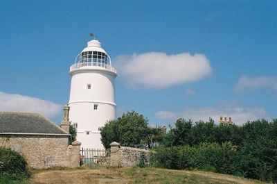
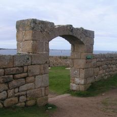
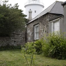
Faro di St Agnes, Faro del XVII secolo a St Agnes, Isole Scilly, Inghilterra.
St Agnes Lighthouse è una torre di pietra circolare sull'isola di St Agnes nelle Isole di Scilly che si eleva di circa 23 metri da terra e presenta feritoie e finestre con infissi mobili. Un livello superiore con cupola fu aggiunto in seguito per migliorare la visibilità del segnale luminoso.
Trinity House costruì questo faro nel 1680 dopo aver ricevuto il permesso di stabilire ausili alla navigazione, perché le carte marittime dell'epoca posizionavano queste isole in modo errato. La torre fu una risposta al pericolo di naufragi su questa costa notoriamente pericolosa.
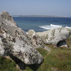
Il faro rappresenta i primi tentativi di rendere più sicure le acque pericolose intorno alle Isole di Scilly. Oggi ricorda l'importanza di questo gruppo d'isole remote per il commercio marittimo nell'Atlantico.
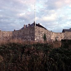
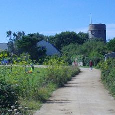
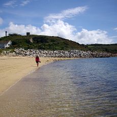
Il faro si trova su un'isola remota e richiede una traversata in barca dall'isola principale per raggiungerlo. L'accesso all'interno è limitato, ma puoi camminare intorno all'esterno da diversi angoli e goderti le viste del mare circostante e delle isole vicine.
La torre ha quattro feritoie al suo primo livello, una caratteristica inusuale tra i fari britannici. Questi elementi difensivi mostrano che il sito era storicamente destinato a proteggere dai pirati e dai vascelli nemici.
La comunità dei viaggiatori curiosi
AroundUs riunisce migliaia di luoghi selezionati, consigli locali e gemme nascoste, arricchiti ogni giorno da oltre 60,000 contributori in tutto il mondo.