
Pipe and Lyde, village and civil parish in Herefordshire, England, UK
Posizione: Herefordshire
Coordinate GPS: 52.09200,-2.72600
Ultimo aggiornamento: 3 marzo 2025 alle 14:06
Sutton Walls Hill Fort
3.2 km
Courtyard Centre for the Arts
3.5 km
Church of St Peter
126 m
Church of St Mary
2.5 km
Church of St Nicholas
3.3 km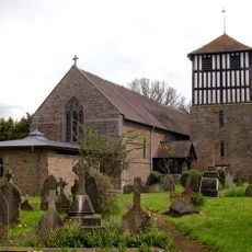
Church of St Bartholomew
1.6 km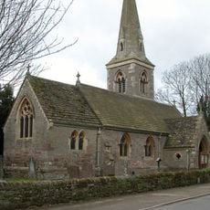
Church of St Andrew
1.7 km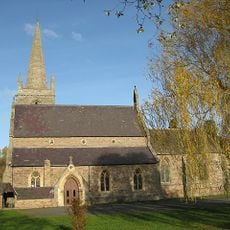
Church of St Mary
3.2 km
Church of St Mary Magdalene
2.7 km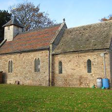
Church of St Michael
2.9 km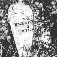
Mile Stone About 3/4 Mile South-South-West Of Church Of St Nicholas
2.6 km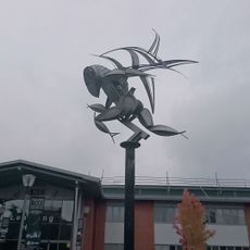
4Runner
3 km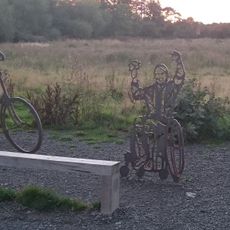
Sustrans Portrait Bench Hereford
3.6 km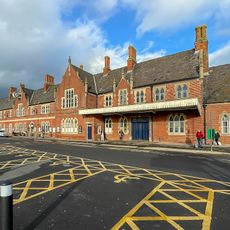
Barr's Court Railway Station
3.6 km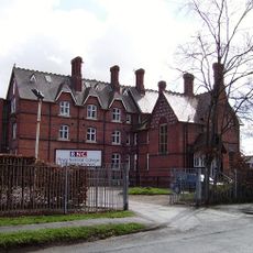
Royal National College for the Blind building
3 km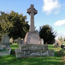
Sutton St Nicholas War Memorial
3.4 km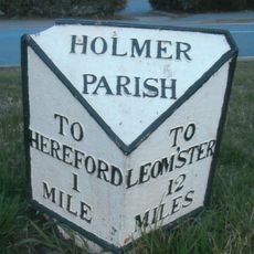
Milepost, Holmer Road, opp. warehouse
2.7 km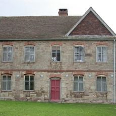
Shelwick Court
2.6 km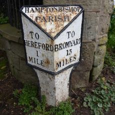
Milestone To South East Of Junction With Broadlands Lane
3.6 km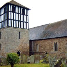
Detached Bell Tower South Of Church Of St Bartholomew
1.6 km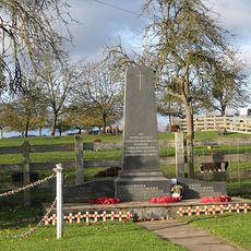
Marden War Memorial, Herefordshire
3.3 km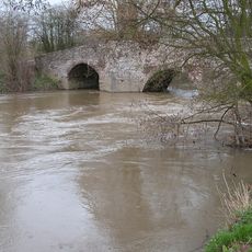
Moreton Bridge
2.1 km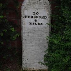
Milestone In Front Of Sutton Mission Hall
3.3 km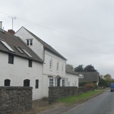
Lugg Farmhouse
3.7 km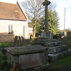
Churchyard cross in St Bartholomew's churchyard
1.6 km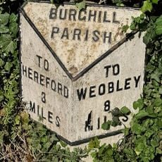
Milepost, St Mary's Hospital
2.3 km
Milepost, Pipe Bridge; N of bridge
484 m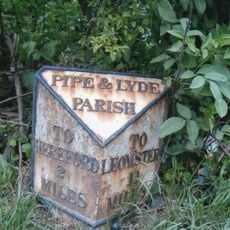
Milepost, N of Holmer House
1.1 kmRecensioni
Ha visitato questo luogo? Tocchi le stelle per valutarlo e condividere la Sua esperienza o foto con la community! Provalo ora! Puoi annullarlo in qualsiasi momento.
Scopri tesori nascosti ad ogni viaggio!
Da piccoli caffè caratteristici a panorami nascosti, fuggi dalla folla e scova i posti che fanno davvero per te. La nostra app ti semplifica tutto: ricerca vocale, filtri furbi, percorsi ottimizzati e dritte autentiche da viaggiatori di tutto il mondo. Scaricala subito per vivere l'avventura sul tuo smartphone!

Un nuovo approccio alla scoperta turistica❞
— Le Figaro
Tutti i luoghi che meritano di essere esplorati❞
— France Info
Un’escursione su misura in pochi clic❞
— 20 Minutes