
Kilvington, village and civil parish in Nottinghamshire, England
Posizione: Newark and Sherwood
Coordinate GPS: 52.98100,-0.80800
Ultimo aggiornamento: 6 marzo 2025 alle 14:00
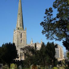
St Mary the Virgin's Church, Bottesford
4.2 km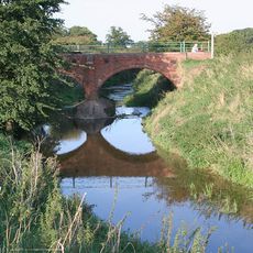
River Smite
2.1 km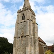
St. Helena's Church, Thoroton
3.7 km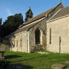
Church of St Mary
2.5 km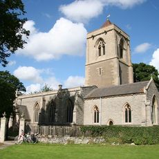
Church of St Mary
397 m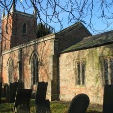
Church of St Peter
2 km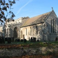
Church of St Mary
3.8 km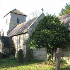
Church of St Mary
430 m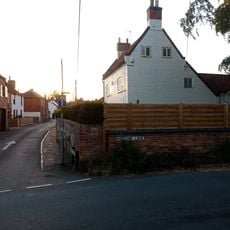
19, Chapel Street
4.3 km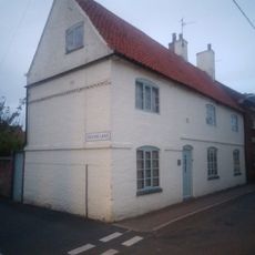
1, Chapel Street
4.3 km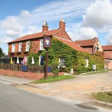
The Staunton Arms Public House
628 m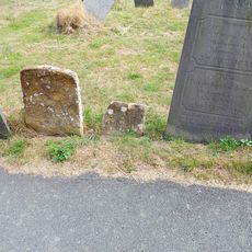
Parker Memorial 5 Metres East Of Church Of St Mary
4.2 km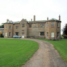
Staunton Hall and service wing
445 m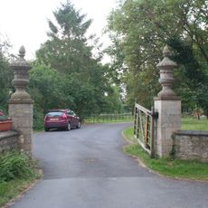
Gate piers and urns at main entrance to Staunton Hall
449 m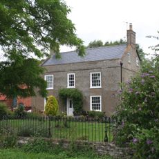
Manor House
523 m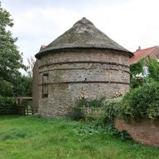
Thoroton Pigeoncote
3.9 km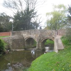
Fleming's Bridge
4.3 km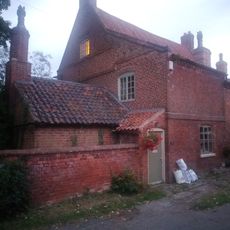
26, Devon Lane
4.1 km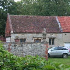
Garage at Staunton Hall
441 m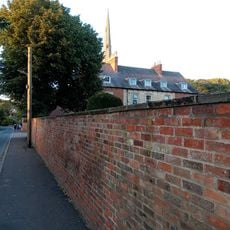
The Rectory
4.3 km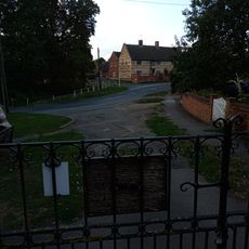
The Earl Of Rutland Hospital
4.1 km
Gate Piers And Gates To Churchyard
4.3 km
Fleming's House
4.3 km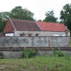
Wall with urn and orb in the grounds of Staunton Hall, 9 feet from garage
429 m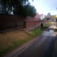
Footbridge
4.2 km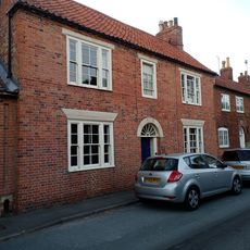
Craven House
4.3 km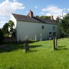
Manor Farmhouse
3.7 km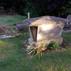
Table Tomb 5 Metres South Of South Transept Of Church Of St Mary
4.2 kmRecensioni
Ha visitato questo luogo? Tocchi le stelle per valutarlo e condividere la Sua esperienza o foto con la community! Provalo ora! Puoi annullarlo in qualsiasi momento.
Scopri tesori nascosti ad ogni viaggio!
Da piccoli caffè caratteristici a panorami nascosti, fuggi dalla folla e scova i posti che fanno davvero per te. La nostra app ti semplifica tutto: ricerca vocale, filtri furbi, percorsi ottimizzati e dritte autentiche da viaggiatori di tutto il mondo. Scaricala subito per vivere l'avventura sul tuo smartphone!

Un nuovo approccio alla scoperta turistica❞
— Le Figaro
Tutti i luoghi che meritano di essere esplorati❞
— France Info
Un’escursione su misura in pochi clic❞
— 20 Minutes