
Grafton, parrocchia civile britannica dell'Herefordshire
Posizione: Herefordshire
Coordinate GPS: 52.03000,-2.73400
Ultimo aggiornamento: 7 marzo 2025 alle 22:27
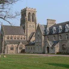
Belmont Abbey, Herefordshire
1.8 km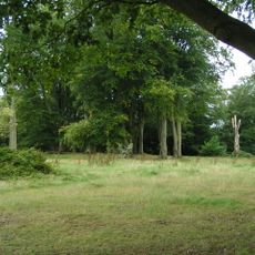
Dinedor Camp
2.7 km
Aconbury Camp
4.1 km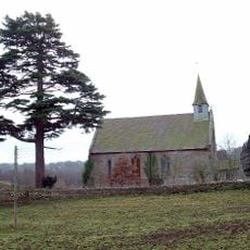
Former Church of St John the Baptist
4.1 km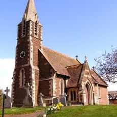
Church of St Peter
1.2 km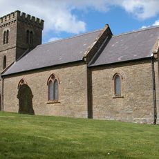
Church of St Mary
2.7 km
St Michael and All Angels Church, Belmont Abbey
1.9 km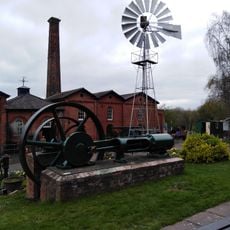
Waterworks Museum
2.2 km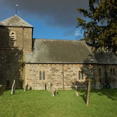
Church of St Andrew
3.7 km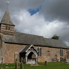
Church of St Michael
3.8 km
Church of St Martin
1.9 km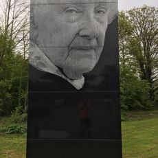
Rotherwas Women
3.1 km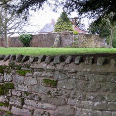
Bullingham Old Church
1.4 km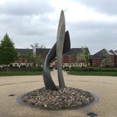
SAS memorial sculpture
1.6 km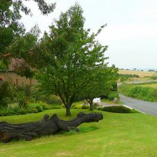
Kings Thorn Dragon
4 km
A Fish's Eye View
2.7 km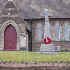
Bullinghope War Memorial
1.2 km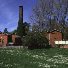
Broomy Hill Pumping Station
2.2 km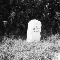
Milestone At Ngr So 475373
2.2 km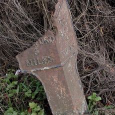
Milepost, Clehonger Court
2.4 km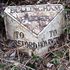
Milepost, S of Lower Bullingham
1.8 km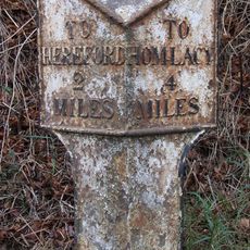
Milepost, W of Industrial estate; 200m from railway bridge
2.7 km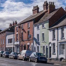
16 And 18, St Martin's Street
2.6 km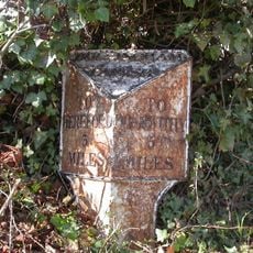
Milepost, Bullingham, by LH entrance to Fairbrook House
2.3 km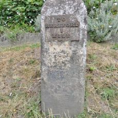
Milestone, Ross Road, jct Holme Lacey Road outside The Broadleys PH
1.8 km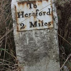
Milestone, Redhill Bridge, Ross Road
803 m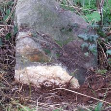
Milestone, Portway; N of village
1.5 km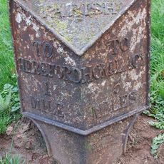
Milepost, Holme Lacy Road, by The Broadleys P.H., St Martin's, W of Putson
1.8 kmRecensioni
Ha visitato questo luogo? Tocchi le stelle per valutarlo e condividere la Sua esperienza o foto con la community! Provalo ora! Puoi annullarlo in qualsiasi momento.
Scopri tesori nascosti ad ogni viaggio!
Da piccoli caffè caratteristici a panorami nascosti, fuggi dalla folla e scova i posti che fanno davvero per te. La nostra app ti semplifica tutto: ricerca vocale, filtri furbi, percorsi ottimizzati e dritte autentiche da viaggiatori di tutto il mondo. Scaricala subito per vivere l'avventura sul tuo smartphone!

Un nuovo approccio alla scoperta turistica❞
— Le Figaro
Tutti i luoghi che meritano di essere esplorati❞
— France Info
Un’escursione su misura in pochi clic❞
— 20 Minutes