
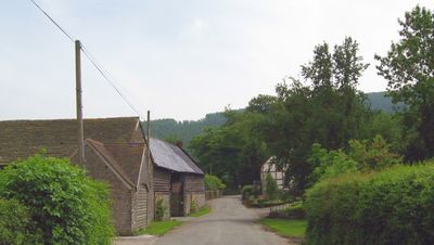
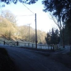
Knill, village and civil parish in Herefordshire, United Kingdom
Posizione: Herefordshire
Coordinate GPS: 52.23800,-3.03900
Ultimo aggiornamento: 10 aprile 2025 alle 02:50
Barland Motte
1.7 km
Burfa Castle
814 m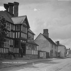
Radnorshire Arms
4.6 km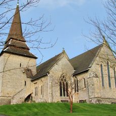
Church of St Mary
3.7 km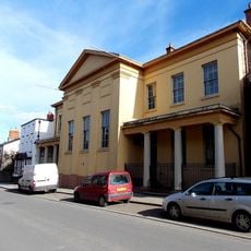
Judge's Lodging
4.6 km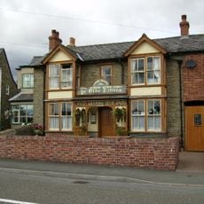
Ye Olde Tavern
3.8 km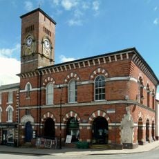
Assembly Rooms, Broad Street
4.7 km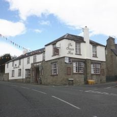
The Swan Hotel
3.8 km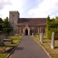
Church of St Peter
4 km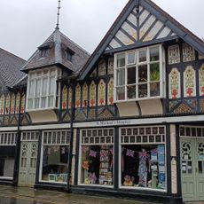
Judge's Lodging
4.6 km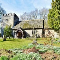
Church of St Michael
40 m
Burfa Bank
1 km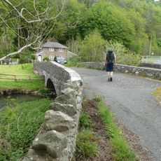
Ditchyeld Bridge
1.2 km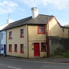
21 and 22, Church Street
3.8 km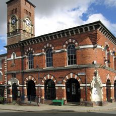
Presteigne Library
4.5 km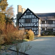
Wegnall Old Farmhouse
4.1 km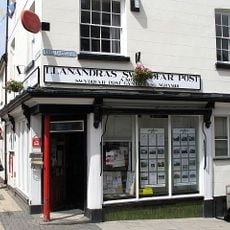
Post Office,High Street
4.5 km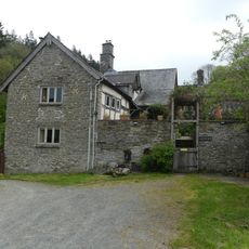
Burfa
1.5 km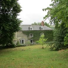
Church House And Attached Wall
3.8 km
Eywood Stables
3 km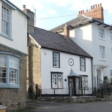
11, The Square
3.8 km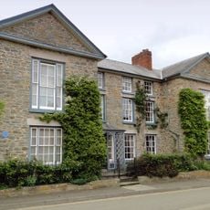
The Manor House (formerly The Rectory) St.david's Street
4.7 km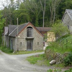
Farm buildings immediately to NW of Burfa
1.5 km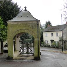
Lychgate, Churchyard Of Church Of St Mary
3.7 km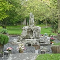
Churchyard cross in St Mary the Virgin's churchyard
3.7 km
The Rodd
3.7 km
The Terrace and attached gates and railings
3.8 km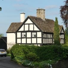
The Porch House
3.7 kmRecensioni
Ha visitato questo luogo? Tocchi le stelle per valutarlo e condividere la Sua esperienza o foto con la community! Provalo ora! Puoi annullarlo in qualsiasi momento.
Scopri tesori nascosti ad ogni viaggio!
Da piccoli caffè caratteristici a panorami nascosti, fuggi dalla folla e scova i posti che fanno davvero per te. La nostra app ti semplifica tutto: ricerca vocale, filtri furbi, percorsi ottimizzati e dritte autentiche da viaggiatori di tutto il mondo. Scaricala subito per vivere l'avventura sul tuo smartphone!

Un nuovo approccio alla scoperta turistica❞
— Le Figaro
Tutti i luoghi che meritano di essere esplorati❞
— France Info
Un’escursione su misura in pochi clic❞
— 20 Minutes