
Iddesleigh, village in the United Kingdom
Posizione: West Devon
Coordinate GPS: 50.85000,-4.04000
Ultimo aggiornamento: 5 marzo 2025 alle 22:29
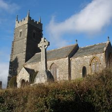
Church of St James
754 m
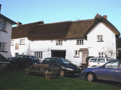
Made-Well
3.1 km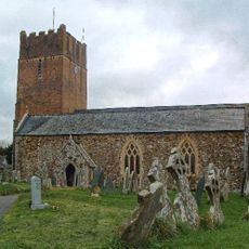
Church of St Edmund
4.4 km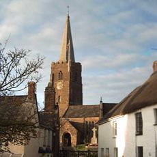
Church of St John the Baptist
3.8 km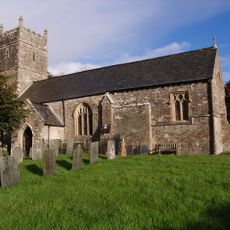
Church of St Michael
1.8 km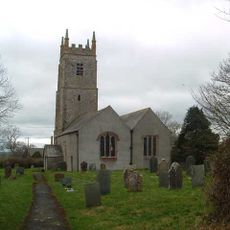
Church of St Peter
2.7 km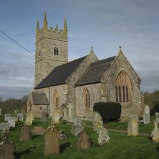
Church of All Saints
2.6 km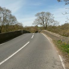
Hele Bridge
2.8 km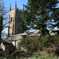
Church of All Hallows
5.5 km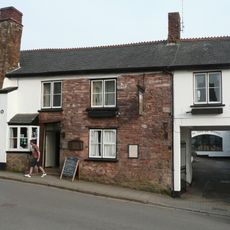
Tally Ho Inn
3.8 km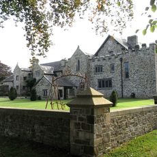
Stafford Barton
4.3 km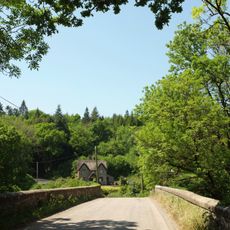
Lower Newbridge Cottages
4 km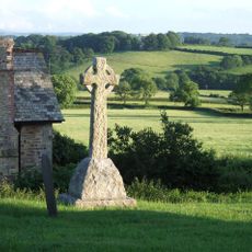
Iddesleigh War Memorial
746 m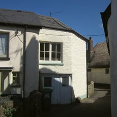
Cobb Cottage
4.6 km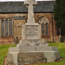
Hatherleigh War Memorial
3.8 km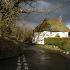
Weekmoor Cross Cottage
839 m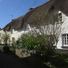
Corner Cottage Hodge's Cottage
4.6 km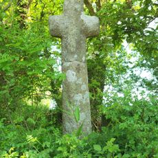
Cross At Ss 554074
1 km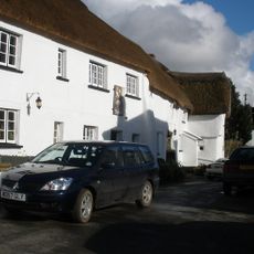
Duke Of York Inn
796 m
Wayside cross at junction between Victoria Road and Park Road, east of Hatherleigh
3.6 km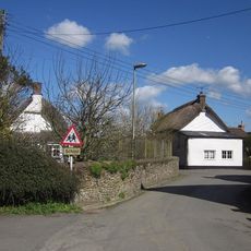
Ivy Cottage Sandscott
4.6 km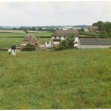
East Or Groves Fishleigh Farmhouse
2.1 km
Wayside cross socket stone at road junction 70m east of St Peter's Church
2.7 km
Barn Immediately To South-West Of East Or Groves Fishleigh Farmhouse
2.1 km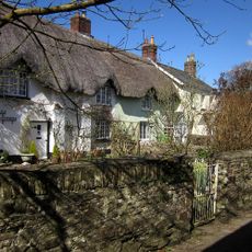
Hackwills
4.6 km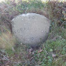
Milestone, 50m S of Friar's Hele Cross jct with old route and new road
2.9 km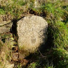
Milestone, S of Fishleigh Cross, on by-pass, 50m S of jct with old road, by path rising up the embankment
3.4 km
Milestone, Oakfield Road (Old Torrington Road), opp. Old Vicarage, 30m S of Church Lane
3.7 kmRecensioni
Ha visitato questo luogo? Tocchi le stelle per valutarlo e condividere la Sua esperienza o foto con la community! Provalo ora! Puoi annullarlo in qualsiasi momento.
Scopri tesori nascosti ad ogni viaggio!
Da piccoli caffè caratteristici a panorami nascosti, fuggi dalla folla e scova i posti che fanno davvero per te. La nostra app ti semplifica tutto: ricerca vocale, filtri furbi, percorsi ottimizzati e dritte autentiche da viaggiatori di tutto il mondo. Scaricala subito per vivere l'avventura sul tuo smartphone!

Un nuovo approccio alla scoperta turistica❞
— Le Figaro
Tutti i luoghi che meritano di essere esplorati❞
— France Info
Un’escursione su misura in pochi clic❞
— 20 Minutes