
Dulas, hamlet and civil parish in Herefordshire, England, UK
Posizione: Herefordshire
Coordinate GPS: 51.96200,-2.91300
Ultimo aggiornamento: 10 marzo 2025 alle 08:01
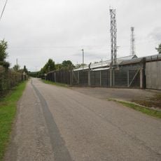
Pontrilas Army Training Area
2.6 km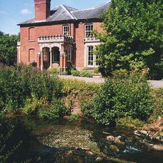
Abbey Dore Court
1.8 km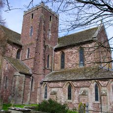
Dore Abbey
1.5 km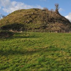
Ewyas Harold Castle
1.5 km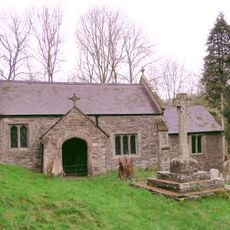
Llancillo Church
4.2 km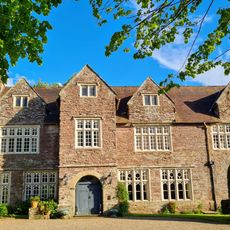
Pontrilas Court
3.1 km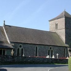
Church of St Michael and All Angels
1.7 km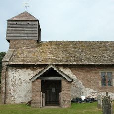
Church of St Margaret
4.6 km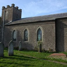
Church of St John the Baptist
4.2 km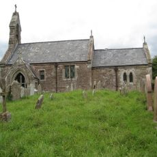
Church of St Mary
3.2 km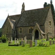
Church of St Michael
320 m
Church of St Peter
2.6 km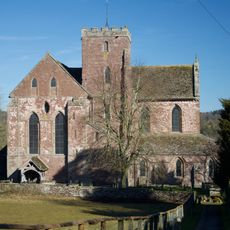
Church of St Mary
1.5 km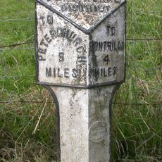
Milestone About 1080 Yards Ene Of Church Of St Faith
3 km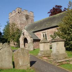
Church of St Faith
2.7 km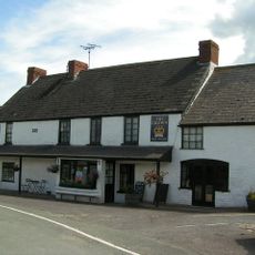
The Crown Inn
4.9 km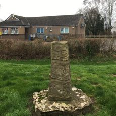
The Obelisk
1.9 km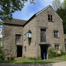
Pontynys Mill
4.8 km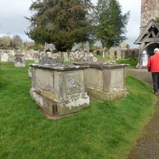
Group of 7 monuments about 10-20 yards south and south-west of the south porch of the Church of St Mary
1.5 km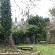
Gates and gate piers about 30 yards north-north-east of The Old Rectory
1.5 km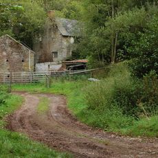
(Old) Brook Farmhouse Approximately 100 Metres West Of (New) Brook Farmhouse
4.1 km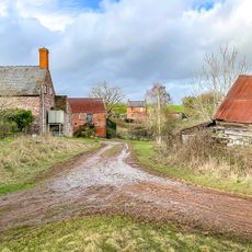
Cwm Farmhouse
1.1 km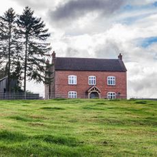
Hollingwood Farmhouse
1.4 km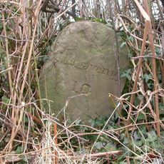
Milestone, 225m N Pont-yr-ynys bridge
4.7 km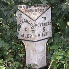
Milepost, Morehampton Park; 140m N Farmhouse Farm entrance
4.3 km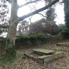
Stables about 25 yards north-east of The Old Rectory
1.5 km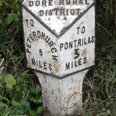
Milepost, Dore, 350m S Pen-twyn Cottage
1.7 km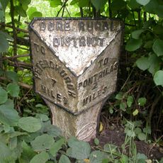
Milepost, Dore; 10m N Dicks Pitch turn
1.6 kmRecensioni
Ha visitato questo luogo? Tocchi le stelle per valutarlo e condividere la Sua esperienza o foto con la community! Provalo ora! Puoi annullarlo in qualsiasi momento.
Scopri tesori nascosti ad ogni viaggio!
Da piccoli caffè caratteristici a panorami nascosti, fuggi dalla folla e scova i posti che fanno davvero per te. La nostra app ti semplifica tutto: ricerca vocale, filtri furbi, percorsi ottimizzati e dritte autentiche da viaggiatori di tutto il mondo. Scaricala subito per vivere l'avventura sul tuo smartphone!

Un nuovo approccio alla scoperta turistica❞
— Le Figaro
Tutti i luoghi che meritano di essere esplorati❞
— France Info
Un’escursione su misura in pochi clic❞
— 20 Minutes