
Monks Horton, civil parish in Kent, United Kingdom
Posizione: Folkestone and Hythe
Coordinate GPS: 51.12028,1.02083
Ultimo aggiornamento: 3 marzo 2025 alle 22:25


Port Lympne Wild Animal Park
5 km
Operation Stack
5.9 km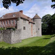
Castello di Westenhanger
3 km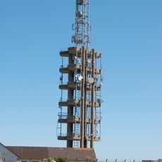
Tolsford Hill BT Tower
4.7 km
Otterpool Quarry
3.6 km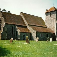
Church of St Mary
2.1 km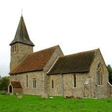
Church of St Mary and St Radegund
3.2 km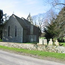
Church of St Peter
992 m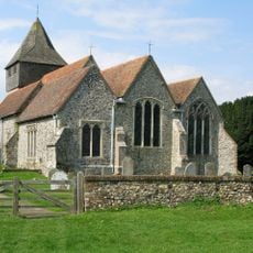
Church of St James
4.9 km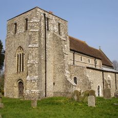
Church of St Mary
2 km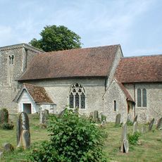
Church of St Mary
4.3 km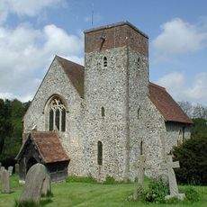
Church of St Mary
4.7 km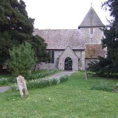
Church of St Mary, Sellindge
2.6 km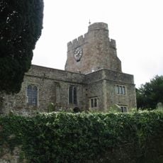
Church of St Mary and St Ethelburga, and Remains of the Older Church to South
4.7 km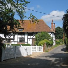
Boyke Manor
5.8 km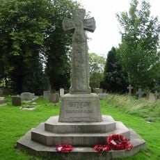
Lyminge War Memorial
4.6 km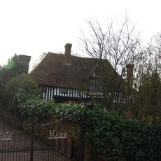
Kite Manor
134 m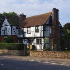
Old Robus
4.9 km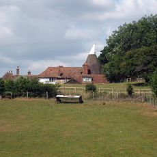
Lodge House
3 km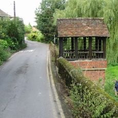
St Ethelburga's Well And Wall To North And South
4.7 km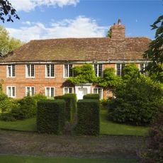
Lindon Hall
4.9 km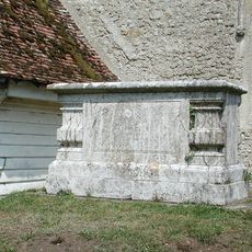
Chest Tomb To Thomas Wyborn, About 2 Metres South Of Church Of St Mary
4.3 km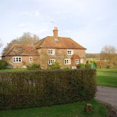
Bitford
344 m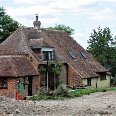
Smeeds Farm
306 m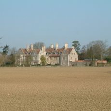
Monks Horton Priory
1.1 km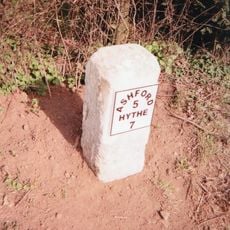
Milestone, Hythe Road, 40m E of Smeeth Crossroads
4.4 km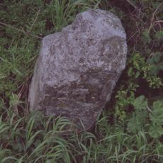
Milestone, Hythe Road, W of old filling station, beneath power lines
3.2 km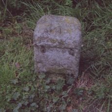
Milestone, Main Road, E of Moorstock Lane
2.2 kmRecensioni
Ha visitato questo luogo? Tocchi le stelle per valutarlo e condividere la Sua esperienza o foto con la community! Provalo ora! Puoi annullarlo in qualsiasi momento.
Scopri tesori nascosti ad ogni viaggio!
Da piccoli caffè caratteristici a panorami nascosti, fuggi dalla folla e scova i posti che fanno davvero per te. La nostra app ti semplifica tutto: ricerca vocale, filtri furbi, percorsi ottimizzati e dritte autentiche da viaggiatori di tutto il mondo. Scaricala subito per vivere l'avventura sul tuo smartphone!

Un nuovo approccio alla scoperta turistica❞
— Le Figaro
Tutti i luoghi che meritano di essere esplorati❞
— France Info
Un’escursione su misura in pochi clic❞
— 20 Minutes