
Orston, village in United Kingdom
Posizione: Rushcliffe
Coordinate GPS: 52.96083,-0.85450
Ultimo aggiornamento: 3 marzo 2025 alle 03:53
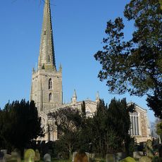
St Mary the Virgin's Church, Bottesford
4.1 km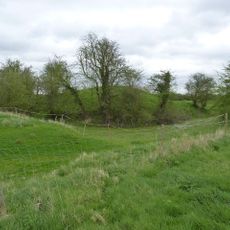
Aslockton Castle
2.7 km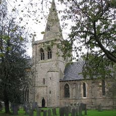
Church of St. John of Beverley, Whatton
2.9 km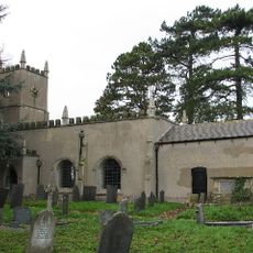
St. Michael and All Angels' Church, Elton on the Hill
2.3 km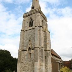
St. Helena's Church, Thoroton
1.6 km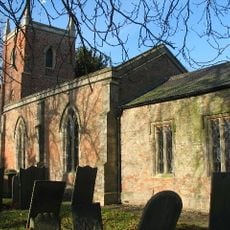
Church of St Peter
2.2 km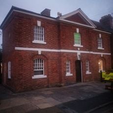
Police Station
4.1 km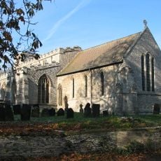
Church of St Mary
211 m
19, Chapel Street
4.1 km
1, Chapel Street
4 km
7, Church Street
4.1 km
The Red Lion Public House
4.2 km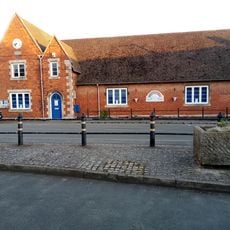
Bottesford Library
4.1 km
4, Queen Street
4.1 km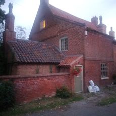
26, Devon Lane
3.9 km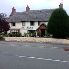
The Thatched Restaurant
3.8 km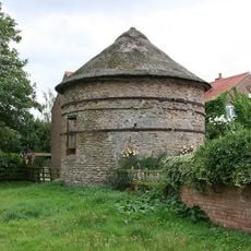
Thoroton Pigeoncote
1.5 km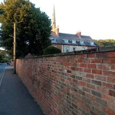
The Rectory
4.1 km
The Earl Of Rutland Hospital
4 km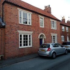
Craven House
4.1 km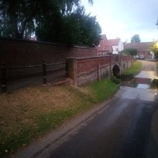
Footbridge
4 km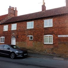
Fleming's House
4.1 km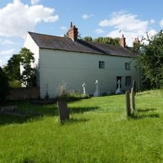
Manor Farmhouse
1.7 km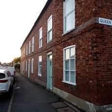
4, 6 And 8, High Street
4 km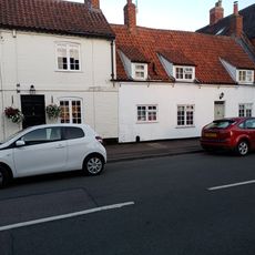
2, Queen Street
4.1 km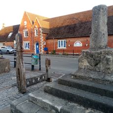
Stocks And Whipping Post
4.1 km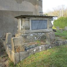
Launder Tomb Immediately South Of Chancel Of Church Of St Michael And All Angels
2.2 km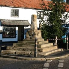
Bottesford Cross
4.1 kmRecensioni
Ha visitato questo luogo? Tocchi le stelle per valutarlo e condividere la Sua esperienza o foto con la community! Provalo ora! Puoi annullarlo in qualsiasi momento.
Scopri tesori nascosti ad ogni viaggio!
Da piccoli caffè caratteristici a panorami nascosti, fuggi dalla folla e scova i posti che fanno davvero per te. La nostra app ti semplifica tutto: ricerca vocale, filtri furbi, percorsi ottimizzati e dritte autentiche da viaggiatori di tutto il mondo. Scaricala subito per vivere l'avventura sul tuo smartphone!

Un nuovo approccio alla scoperta turistica❞
— Le Figaro
Tutti i luoghi che meritano di essere esplorati❞
— France Info
Un’escursione su misura in pochi clic❞
— 20 Minutes