
St Stephen, civil parish in the City of St Albans district in Hertfordshire, England
Posizione: St Albans
Coordinate GPS: 51.73500,-0.36000
Ultimo aggiornamento: 14 aprile 2025 alle 19:48
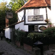
Ye Olde Fighting Cocks
1.8 km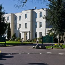
Sopwell House
2.3 km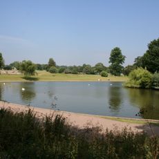
Verulamium Park
1.6 km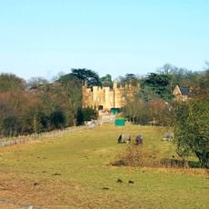
Wall Hall
5.8 km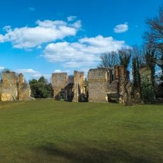
Sopwell Priory
2 km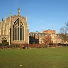
All Saints Pastoral Centre
4.8 km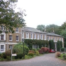
High Elms Manor
4.3 km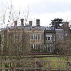
Munden House
5.1 km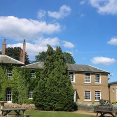
Edge Grove School
6.5 km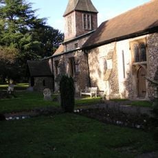
St. Stephen's Church, St. Albans
1.1 km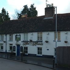
Hare And Hounds Public House
2.2 km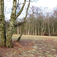
Ashridge Commons and Woods
4.3 km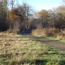
Bricket Wood Common
4.3 km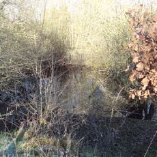
Moor Mill Quarry, West
2.7 km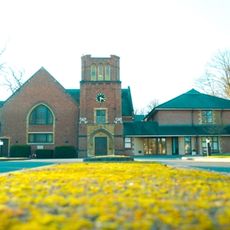
Stanborough Park Church
6.1 km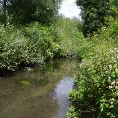
Watercress Wildlife Site
2.1 km
Bricket Wood Paintball
2.5 km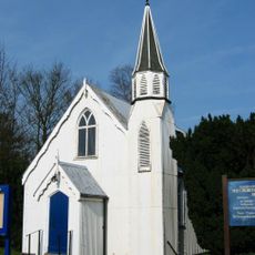
Church of the Ascension
3.7 km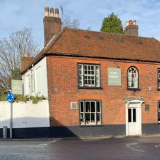
The King Harry Public House
1.1 km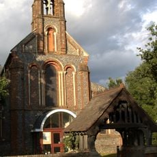
Church of the Holy Trinity
2.7 km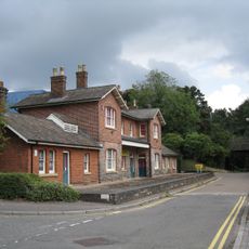
Old Station House
2.5 km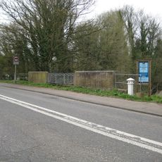
London Coal Duty Marker On East Side Of Broad Colney Bridge
4.7 km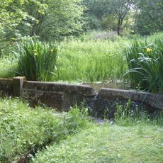
Replica of the Mohne Dam, in the grounds of the Building Research Establishment, Garston
3.8 km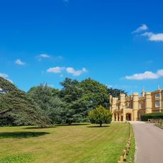
Wall Hall (The Mansion)
5.8 km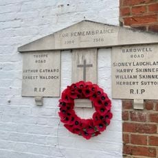
War Memorial Plaque Attached to 1 Bardwell Road and 22 Thorpe Road
2.1 km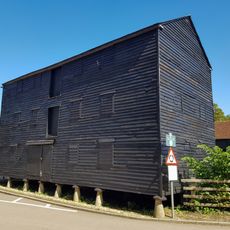
Granary About 50 Metres South East Of Wall Hall Home Farm House
6.1 km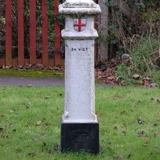
London Coal Duty Marker On Verge Near Number 67
4.9 km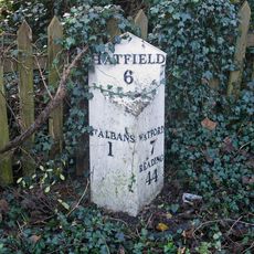
Milepost Between Numbers 10 And 12, On Opposite Side Of Road
1.3 kmRecensioni
Ha visitato questo luogo? Tocchi le stelle per valutarlo e condividere la Sua esperienza o foto con la community! Provalo ora! Puoi annullarlo in qualsiasi momento.
Scopri tesori nascosti ad ogni viaggio!
Da piccoli caffè caratteristici a panorami nascosti, fuggi dalla folla e scova i posti che fanno davvero per te. La nostra app ti semplifica tutto: ricerca vocale, filtri furbi, percorsi ottimizzati e dritte autentiche da viaggiatori di tutto il mondo. Scaricala subito per vivere l'avventura sul tuo smartphone!

Un nuovo approccio alla scoperta turistica❞
— Le Figaro
Tutti i luoghi che meritano di essere esplorati❞
— France Info
Un’escursione su misura in pochi clic❞
— 20 Minutes