
Ward of Vintry, ward of the City of London
Posizione: City of London
Coordinate GPS: 51.51100,-0.09340
Ultimo aggiornamento: 3 giugno 2025 alle 21:59
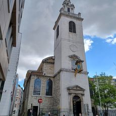
St James Garlickhythe, London
27 m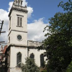
St Michael Paternoster Royal
89 m
St Michael Queenhithe
111 m
Holy Trinity the Less
92 m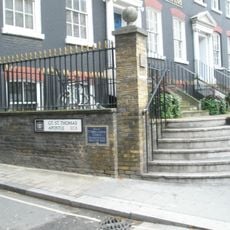
St Thomas the Apostle
12 m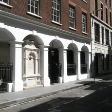
St John the Baptist upon Walbrook
150 m
St John the Evangelist Friday Street
100 m
St Nicholas Olave
100 m
Skilbeck's Warehouse
88 m
69, Upper Thames Street
50 m
Sweetings
172 m
Monument In Yard Of Former Church Of St John The Baptist, Wallbrook
164 m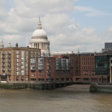
Queenhithe dock
157 m
The Sugar Loaf Public House
145 m
Vintners' Hall
36 m
Dyers' Hall
143 m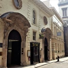
22, College Hill Ec4
106 m
Huggin Hill Roman bath house, 120m WNW of St James's Church
143 m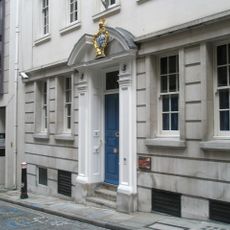
Painter Stainers' Hall
135 m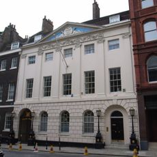
Skinners' Hall
134 m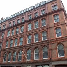
Tallow Chandlers' Hall
155 m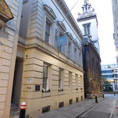
19 And 20, College Hill Ec4
95 m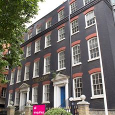
27 And 28, Queen Street Ec4
114 m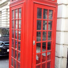
K2 Telephone Kiosk At Junction With Queen Street
101 m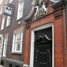
Innholders' Hall
120 m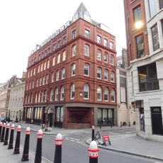
Drake House Lonsdale House
164 m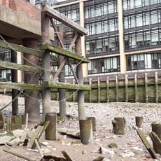
Smiths' Wharf
137 m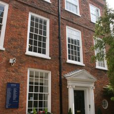
22a, College Hill Ec4
116 mRecensioni
Ha visitato questo luogo? Tocchi le stelle per valutarlo e condividere la Sua esperienza o foto con la community! Provalo ora! Puoi annullarlo in qualsiasi momento.
Scopri tesori nascosti ad ogni viaggio!
Da piccoli caffè caratteristici a panorami nascosti, fuggi dalla folla e scova i posti che fanno davvero per te. La nostra app ti semplifica tutto: ricerca vocale, filtri furbi, percorsi ottimizzati e dritte autentiche da viaggiatori di tutto il mondo. Scaricala subito per vivere l'avventura sul tuo smartphone!

Un nuovo approccio alla scoperta turistica❞
— Le Figaro
Tutti i luoghi che meritano di essere esplorati❞
— France Info
Un’escursione su misura in pochi clic❞
— 20 Minutes