
How Caple, village and civil parish in Herefordshire, UK
Posizione: Herefordshire
Coordinate GPS: 51.97068,-2.57940
Ultimo aggiornamento: 6 aprile 2025 alle 10:03
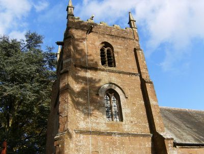
Church of All Saints
2 km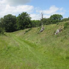
Capler Camp
2.7 km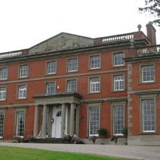
Homme House
5.3 km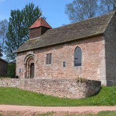
Yatton Chapel
2.4 km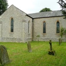
Church of All Saints
3.3 km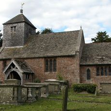
Church of St Michael
4 km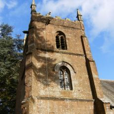
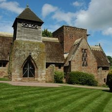
Church of St Andrew and St Mary
875 m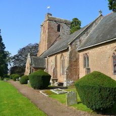
Church of St Mary
2.1 km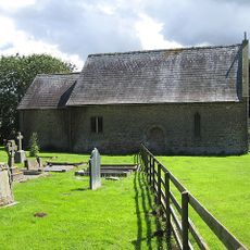
Chapel of St John
1.5 km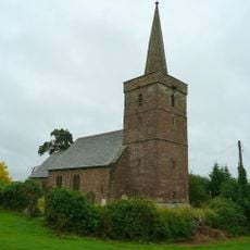
Church of St Dubricius, Ballingham
3 km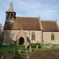
Church of St Michael
2.9 km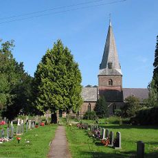
Church of St Mary
4.4 km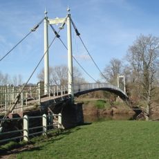
Sellack Bridge
4.5 km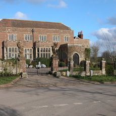
Fawley Court
2.6 km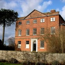
Kings Caple Court
4.5 km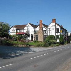
The Green Man Inn
4.8 km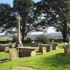
Churchyard cross in St Michael and All Angels' churchyard
4 km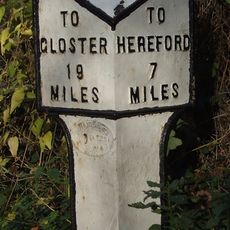
Milepost At So589341
4 km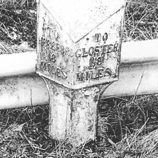
Milepost
2.8 km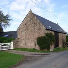
Barn And Adjoining Byre Approximately 20 Metres South East Of Kings Caple
4.5 km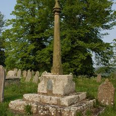
Churchyard cross, St George's churchyard
5.4 km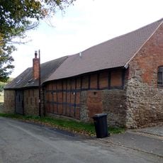
Barn About 30 Yards North East Of The Stone House
5.3 km
Carthage
2 km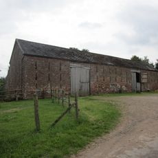
Barn And Attached Wall About 25 Yards West Of White House
4.1 km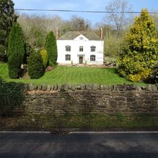
Bodenham Farmhouse
5.1 km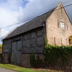
Lower Penault
3.4 km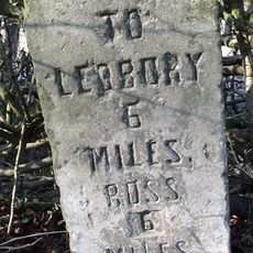
Milestone
4.6 km
Brampton Abbotts Village Hall
3.9 kmRecensioni
Ha visitato questo luogo? Tocchi le stelle per valutarlo e condividere la Sua esperienza o foto con la community! Provalo ora! Puoi annullarlo in qualsiasi momento.
Scopri tesori nascosti ad ogni viaggio!
Da piccoli caffè caratteristici a panorami nascosti, fuggi dalla folla e scova i posti che fanno davvero per te. La nostra app ti semplifica tutto: ricerca vocale, filtri furbi, percorsi ottimizzati e dritte autentiche da viaggiatori di tutto il mondo. Scaricala subito per vivere l'avventura sul tuo smartphone!

Un nuovo approccio alla scoperta turistica❞
— Le Figaro
Tutti i luoghi che meritano di essere esplorati❞
— France Info
Un’escursione su misura in pochi clic❞
— 20 Minutes