Ham Hill, Riserva naturale e sito archeologico nel Somerset, Inghilterra
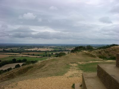
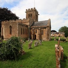
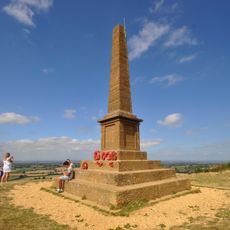
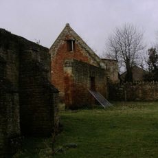
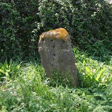
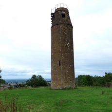
Ham Hill è una riserva naturale e un sito archeologico su terreno elevato con una collina fortificata antica e viste ampie sul paesaggio circostante. Il sito contiene aree di brughiera aperta, zone boschive e vecchi pozzi di cava estesi che modellano il terreno.
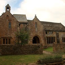
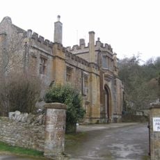
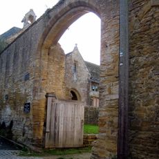
Il sito è servito come importante centro commerciale fortificato durante l'Età del Ferro prima che le forze romane lo conquistassero a metà del 1 secolo. Il luogo ha perso il suo ruolo di centro di difesa e commercio dopo questa conquista, anche se tracce di quell'antico insediamento rimangono ancora visibili.
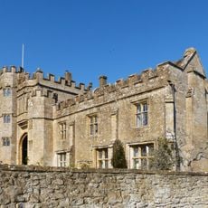
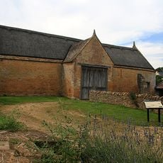
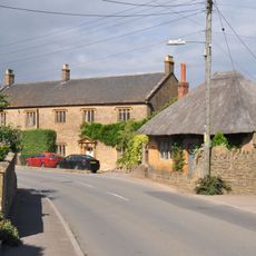
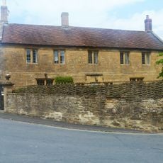
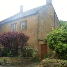
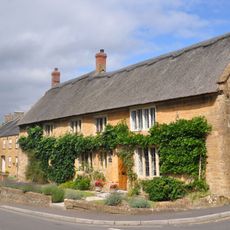
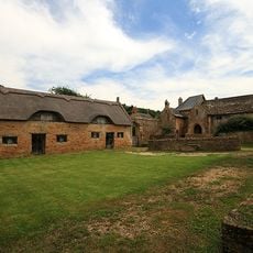
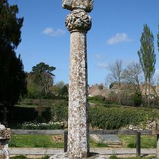
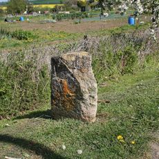
La pietra estratta qui ha fornito materiale da costruzione per strutture importanti nella regione. Si possono ancora vedere antiche fosse di cava sparse nel paesaggio, prove di secoli di lavoro in pietra.
Il sito offre aree di parcheggio, servizi igienici pubblici e una caffetteria per rinfrescarsi durante la visita. Sentieri pedonali marcati si snodano sulla collina e attraverso i terreni, facilitando l'esplorazione per visitatori di diverse capacità.
La collina si eleva da rocce depositate circa 170 milioni di anni fa durante il periodo giurassico, che continua a plasmare la sua geologia oggi. Questo fondamento antico aiuta a sostenere la ricca varietà di piante e animali che trovi qui ora.
La comunità dei viaggiatori curiosi
AroundUs riunisce migliaia di luoghi selezionati, consigli locali e gemme nascoste, arricchiti ogni giorno da oltre 60,000 contributori in tutto il mondo.