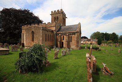
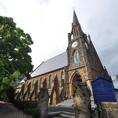
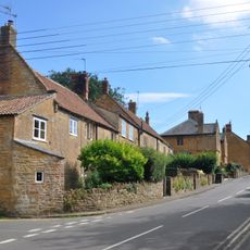
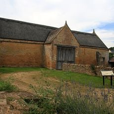
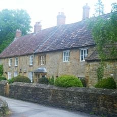
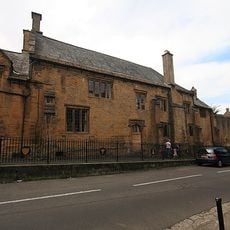
Church of St Mary the Virgin, East Stoke, Chiesa parrocchiale medievale a Stoke Sub Hamdon, Inghilterra.
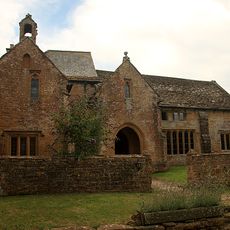
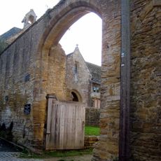
La Chiesa di Santa Maria Vergine è una chiesa parrocchiale medievale a Stoke Sub Hamdon con elementi normanni nella navata e nel coro, con dettagliati intagli in pietra in tutta la struttura. L'edificio include un corpo principale con sezioni laterali aggiunte in periodi diversi.
Originariamente dedicata a San Denis, la chiesa risale al 1101 con transetti aggiunti nei secoli successivi. Queste fasi costruttive riflettono la crescente importanza della parrocchia nel tempo.
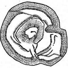
Le pareti contengono sculture medievali con mensole astratte, un timpano con simboli astrologici e una scena di San Michele che combatte un drago. Queste opere d'arte mostrano come la comunità esprimeva la sua fede nella pietra.
La chiesa ospita servizi regolari e accoglie visitatori, sebbene si applichino linee guida di conservazione all'edificio. È consigliabile verificare in anticipo gli orari di accesso.
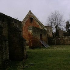
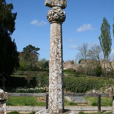
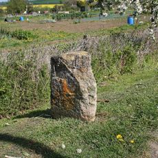
Due monumenti del 17° secolo nel cimitero soffrono di danni da assestamento e cristallizzazione di sale che ne influenzano lo stato. Questi monumendi mostrano la sfida di conservare i memoriali in pietra in questo ambiente.
La comunità dei viaggiatori curiosi
AroundUs riunisce migliaia di luoghi selezionati, consigli locali e gemme nascoste, arricchiti ogni giorno da oltre 60,000 contributori in tutto il mondo.