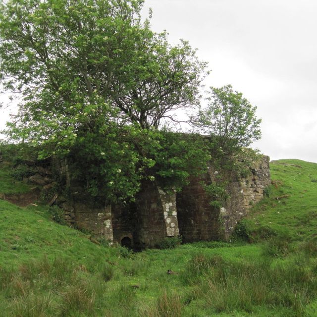
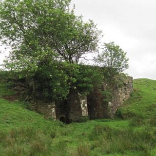
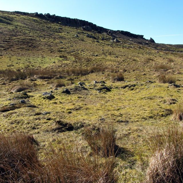
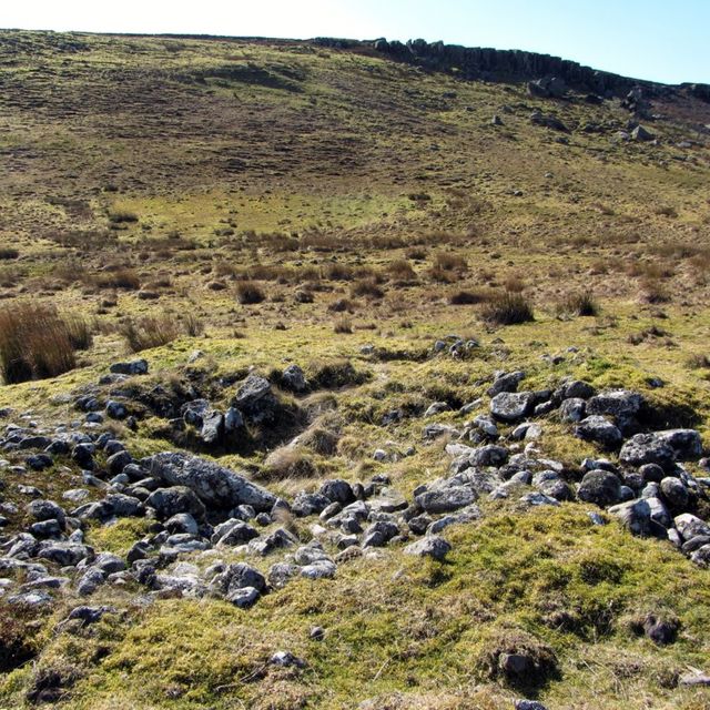
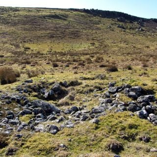
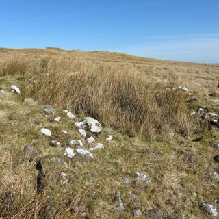
Milecastle 35, Milecastle nel Regno Unito
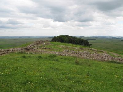
Il Milecastle 35 è una piccola fortificazione lungo il Vallo di Adriano, situata vicino a Haydon.
Fu costruito dai Romani intorno al 122 d.C. come parte delle difese di confine.
I milecastles erano centrali nell'organizzazione militare e sociale romana nella Britannia occupata.
Le rovine sono accessibili ai visitatori interessati alla storia e architettura romana.
Il Milecastle 35 è preminente negli studi sul limite settentrionale dell'Impero Romano.
Posizione: Haydon
Fonte: Wikimedia
Filtri
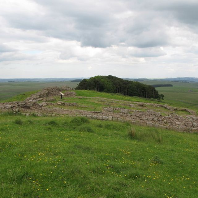
Il Milecastle 35 è una piccola fortificazione lungo il Vallo di Adriano, situata vicino a Haydon.


Il Vallo di Adriano, noto anche come Muro Romano, è un'antica fortificazione difensiva della provincia romana di Britannia.