
Popolarità :
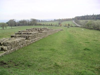
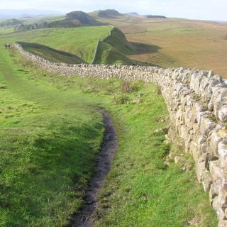
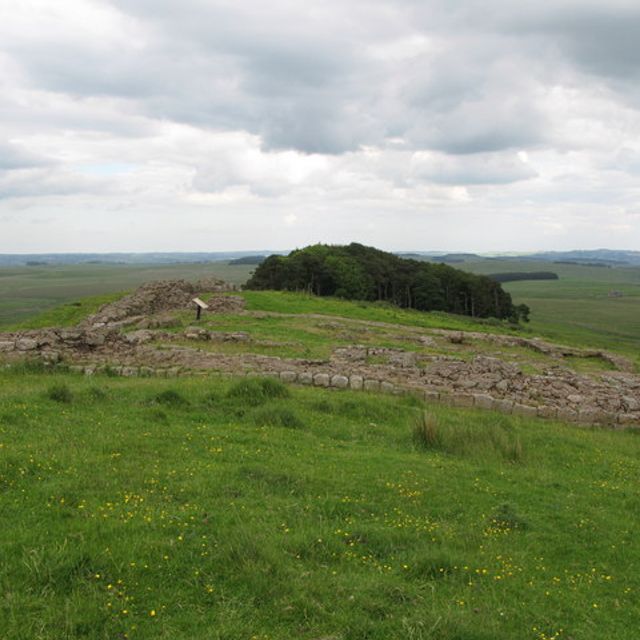
Hadrians Wall, Milecastles and Turrets, Grade I listed defensive wall in Simonburn, Northumberland, England, United Kingdom
Posizione: Simonburn
Fonte: Wikimedia
Il postoWikimedia Commons CC BY-SA
Filtri
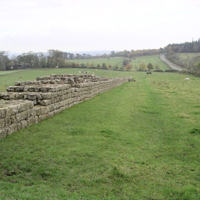
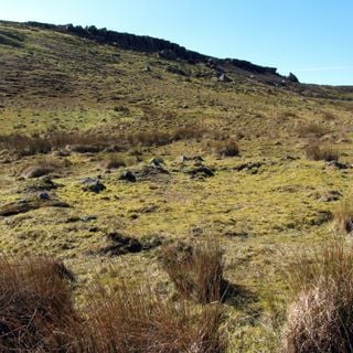
Hadrians Wall, Milecastles and Turrets
Grade I listed defensive wall in Simonburn, Northumberland, England, United Kingdom
Hadrians Wall, Milecastles and Turrets
Grade I listed defensive wall in Simonburn, Northumberland, England, United Kingdom
Regno Unito
0 m

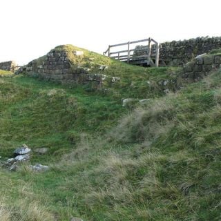
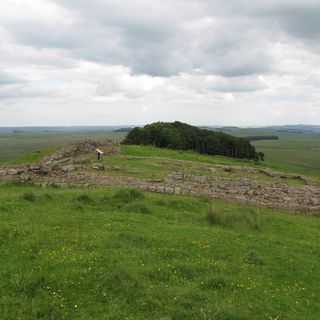
Milecastle 34
Milecastle on Hadrian's Wall in Northumberland, England, UK
Milecastle 34
Milecastle on Hadrian's Wall in Northumberland, England, UK
Regno Unito
112 m

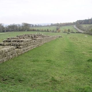
Vallo di Adriano
Fortificazione romana in Inghilterra
Il Vallo di Adriano, noto anche come Muro Romano, è un'antica fortificazione difensiva della provincia romana di Britannia.
Vallo di Adriano
Fortificazione romana in Inghilterra
Regno Unito
678 m
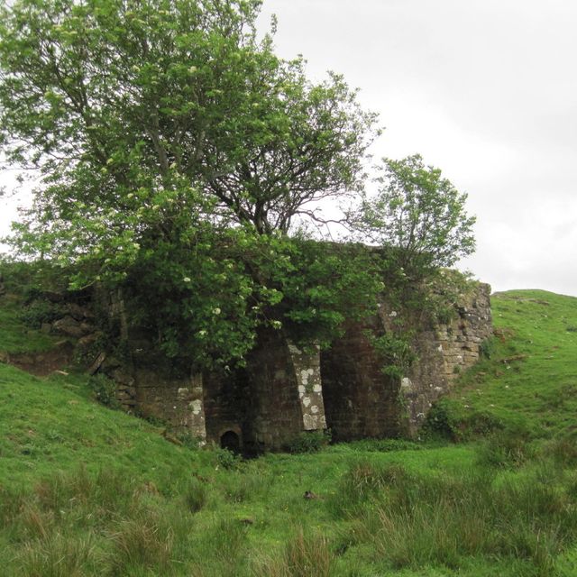
Lime Kiln 800 Metres West Of Town Shields Farmhouse
Lime kiln in Simonburn, Northumberland, UK
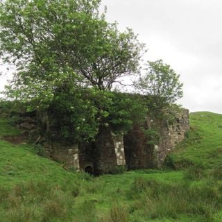
Lime Kiln 800 Metres West Of Town Shields Farmhouse
Lime kiln in Simonburn, Northumberland, UK
Regno Unito
1 km

Milecastle 33
Antica fortificazione nel Regno Unito
Il Milecastle 33 è una piccola fortificazione sul Vallo di Adriano.
Milecastle 33
Antica fortificazione nel Regno Unito
Regno Unito
1.3 km
Milecastle 35
Milecastle nel Regno Unito
Il Milecastle 35 è una piccola fortificazione lungo il Vallo di Adriano, situata vicino a Haydon.
Milecastle 35
Milecastle nel Regno Unito
Regno Unito
1.4 km

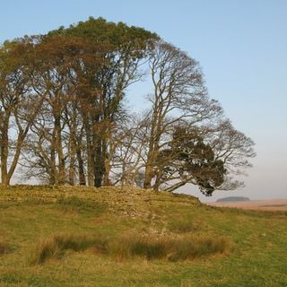
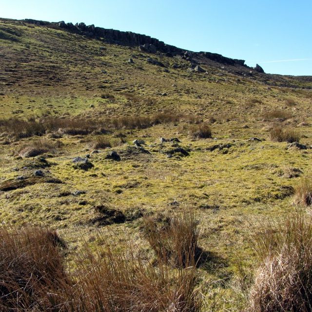
Stone circle, 380m east of King's Crags
Stone circle in Simonburn, Northumberland, England, UK
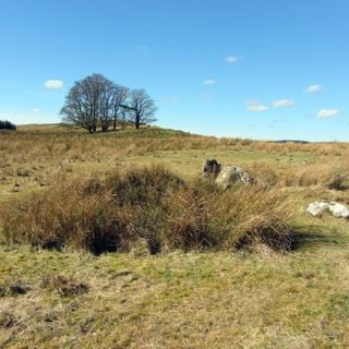
Stone circle, 380m east of King's Crags
Stone circle in Simonburn, Northumberland, England, UK
Regno Unito
1.7 km
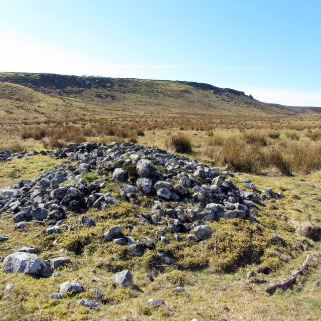
Round cairn, 120m south of King's Crags
Round cairn in Simonburn, Northumberland, England, UK
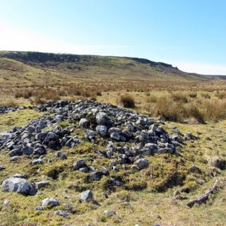
Round cairn, 120m south of King's Crags
Round cairn in Simonburn, Northumberland, England, UK
Regno Unito
2 km
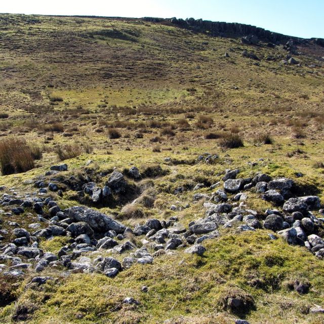
Round cairn, 150m east of Kingscrag Gate
Round cairn in Simonburn, Northumberland, England, UK
Round cairn, 150m east of Kingscrag Gate
Round cairn in Simonburn, Northumberland, England, UK
Regno Unito
2.2 km
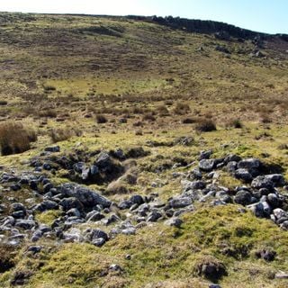
Round cairn, 150m ESE of Kingscrag Gate
Round cairn in Simonburn, Northumberland, England, UK
Round cairn, 150m ESE of Kingscrag Gate
Round cairn in Simonburn, Northumberland, England, UK
Regno Unito
2.2 km
Risorse
« Hadrians Wall, Milecastles and Turrets - Grade I listed defensive wall in Simonburn, Northumberland, England, United Kingdom » è fornito da Around.Us (it.aroundus.com). Le immagini e i testi sono tratti dal progetto Wikimedia con licenza Creative Commons. È possibile copiare, distribuire e modificare copie di questa pagina, alle condizioni stabilite dalla licenza, a condizione che questa nota sia chiaramente visibile.