
Plumpton Plain earthworks, archaeological site in Plumpton, Lewes, England, UK
Posizione: Plumpton
Coordinate GPS: 50.89350,-0.07082
Ultimo aggiornamento: 10 marzo 2025 alle 14:41

Falmer Stadium
3.6 km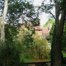
Plumpton Place
1.2 km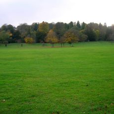
Stanmer Park
3.6 km
Stanmer House
3.5 km
Earthship Brighton
3.7 km
Stanmer Church
3.4 km
Gardner Arts Centre
3.5 km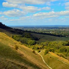
Clayton to Offham Escarpment
762 m
The Parish Church of St Michael and All Angels, Plumpton
1.3 km
The Parish Church of St Lawrence, Falmer
3.5 km
Streat Church
3 km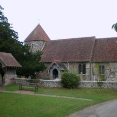
The Parish Church
3.1 km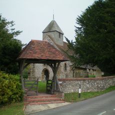
The Parish Church of St Martin
2.4 km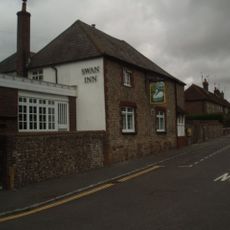
The Swan Inn
3.3 km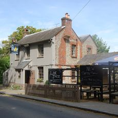
The Half Moon Inn
1.2 km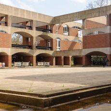
Falmer House Including Moat Within Courtyard
3.5 km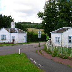
Lower Lodge (north)
3.8 km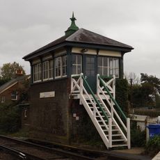
Plumpton Signal Box
3.9 km
Streat Place
3.1 km
The Home Farmhouse
3.4 km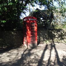
K6 Kiosk, Outside Church Lychgate
3.1 km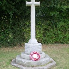
East Chiltington War Memorial
3.1 km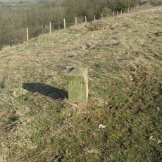
Hillfort, a beacon and dewpond on Ditchling Beacon
2.7 km
Mathematical And Physical Sciences I Including Staircase To South And East To West Wing Attached To East Pevensey Building
3.3 km
Meeting House Including Kerbstones Surrounding Moat
3.4 km
The Eugh
1.4 km
Arts A And B Including Courtyard Pool Gardner Arts Centre
3.3 km
Barn Or Stables To West Of Stantons Farmhouse
3 kmRecensioni
Ha visitato questo luogo? Tocchi le stelle per valutarlo e condividere la Sua esperienza o foto con la community! Provalo ora! Puoi annullarlo in qualsiasi momento.
Scopri tesori nascosti ad ogni viaggio!
Da piccoli caffè caratteristici a panorami nascosti, fuggi dalla folla e scova i posti che fanno davvero per te. La nostra app ti semplifica tutto: ricerca vocale, filtri furbi, percorsi ottimizzati e dritte autentiche da viaggiatori di tutto il mondo. Scaricala subito per vivere l'avventura sul tuo smartphone!

Un nuovo approccio alla scoperta turistica❞
— Le Figaro
Tutti i luoghi che meritano di essere esplorati❞
— France Info
Un’escursione su misura in pochi clic❞
— 20 Minutes