
Anglo-Saxon barrow field 650m south west of Wick Farm
Anglo-Saxon barrow field 650m south west of Wick Farm, archaeological site in Ditchling, Lewes, England, UK
Posizione: Ditchling
Coordinate GPS: 50.90250,-0.11919
Ultimo aggiornamento: 11 aprile 2025 alle 15:31
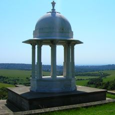
Chattri
2.8 km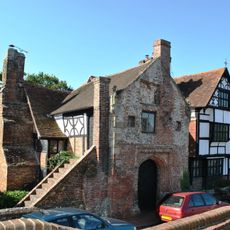
Wings Place
2.1 km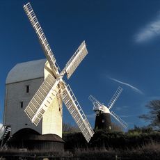
Clayton Windmills
2.1 km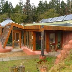
Earthship Brighton
3.4 km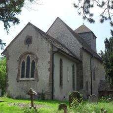
St John the Baptist's Church, Clayton
2.6 km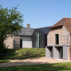
Ditchling Museum of Art + Craft
2.2 km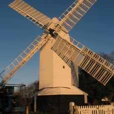
Oldland Mill
3.1 km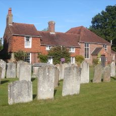
Ditchling Unitarian Chapel
2.2 km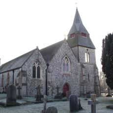
St Cosmas and St Damian Church, Keymer
2.3 km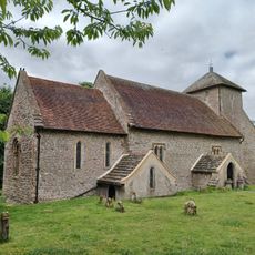
Church of the Transfiguration, Pyecombe
3.2 km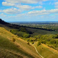
Clayton to Offham Escarpment
2.9 km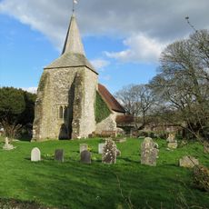
The Parish Church of St Michael and All Angels, Plumpton
3.3 km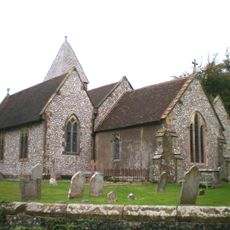
Streat Church
3.4 km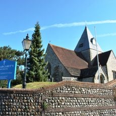
The Parish Church of St Margaret, Ditchling
2.1 km
The Parish Church of St Martin
1.6 km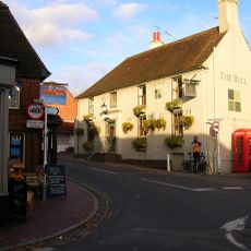
The Bull Hotel
2.1 km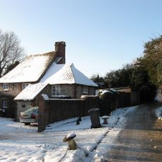
Hobbs Cottage
3.4 km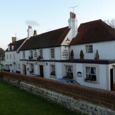
The White Horse Hotel
2.1 km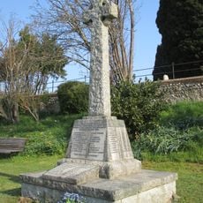
Keymer War Memorial
2.3 km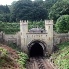
Clayton Tunnel North Portal Tunnel Cottage
2.7 km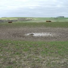
A saucer barrow and three bowl barrows on Tegdown Hill
3.2 km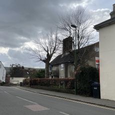
The Old Manor House
2.4 km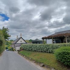
The Old School House
3.1 km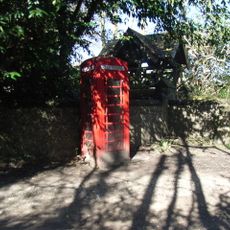
K6 Kiosk, Outside Church Lychgate
3.5 km
Streat Place
3.4 km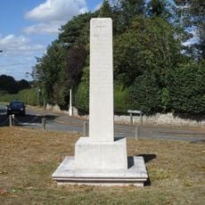
Ditchling War Memorial
2.1 km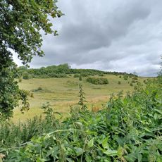
Roman road and 18th century coaching road N of Pyecombe church
3 km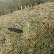
Hillfort, a beacon and dewpond on Ditchling Beacon
804 mRecensioni
Ha visitato questo luogo? Tocchi le stelle per valutarlo e condividere la Sua esperienza o foto con la community! Provalo ora! Puoi annullarlo in qualsiasi momento.
Scopri tesori nascosti ad ogni viaggio!
Da piccoli caffè caratteristici a panorami nascosti, fuggi dalla folla e scova i posti che fanno davvero per te. La nostra app ti semplifica tutto: ricerca vocale, filtri furbi, percorsi ottimizzati e dritte autentiche da viaggiatori di tutto il mondo. Scaricala subito per vivere l'avventura sul tuo smartphone!

Un nuovo approccio alla scoperta turistica❞
— Le Figaro
Tutti i luoghi che meritano di essere esplorati❞
— France Info
Un’escursione su misura in pochi clic❞
— 20 Minutes