
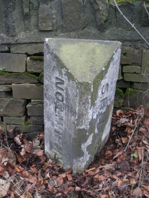
Boundary Stone 150 Yards South Of Junction With Riley Lane
Boundary Stone 150 Yards South Of Junction With Riley Lane, boundary marker in Kirkburton, Kirklees, West Yorkshire, UK
Posizione: Kirkburton
Parte di: political border
Coordinate GPS: 53.60423,-1.71216
Ultimo aggiornamento: 10 marzo 2025 alle 05:19
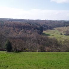
Myers Wood
604 m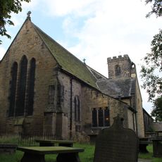
Church of All Hallows
826 m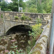
Thunder Bridge
679 m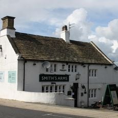
Smiths Arms Public House
1.6 km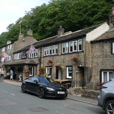
The Woodman Public House
578 m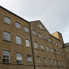
Springfield Mill
1 km
46 And 48, Town Gate
1.5 km
2, Town Gate
1.5 km
152 and 154, Penistone Road
1 km
5, 9 and 11, Thunder Bridge Lane
561 m
31 And 33, Far Dean
1.6 km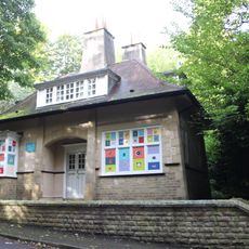
The Lodge
1.3 km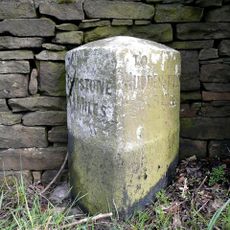
Milestone
295 m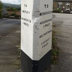
Guide Post At Junction With Far Bank
1.6 km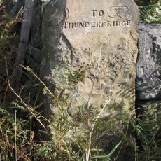
Old Guide Post At Junction With Wood Lane
1.6 km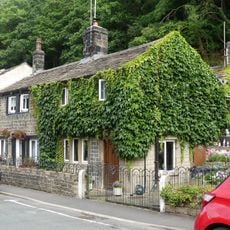
15 and 17, Thunder Bridge Lane
597 m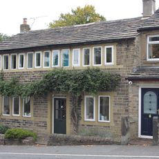
21, Far Dean
1.7 km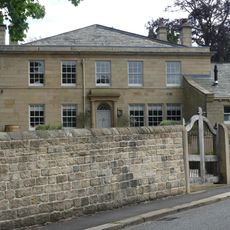
Birks Gate and attached outbuildings
735 m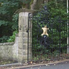
Gate Piers And Gates At The Lodge
1.3 km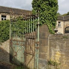
Gateway With Gate And Gate Piers At East Lodge
1 km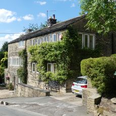
18 and 20, Dam Hill
942 m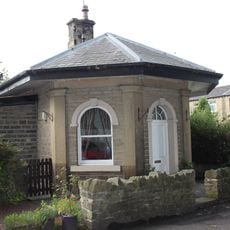
Lodge At Springfield Mill
1 km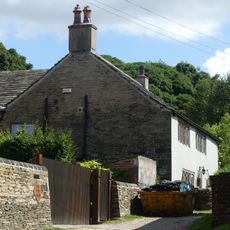
Yew Tree Farm
687 m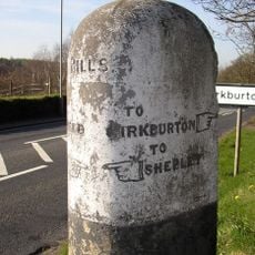
Guide Post At Junction With Riley Lane
114 m
118, Paddock Road
1.6 km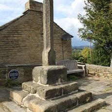
Burton Cross
1.5 km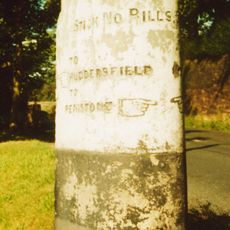
Guidestone, Penistone Road, jct with Ripley Lane; Kirkburton
119 m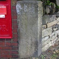
Guidestone, Stocksmoor, Cross Lane
1.6 kmRecensioni
Ha visitato questo luogo? Tocchi le stelle per valutarlo e condividere la Sua esperienza o foto con la community! Provalo ora! Puoi annullarlo in qualsiasi momento.
Scopri tesori nascosti ad ogni viaggio!
Da piccoli caffè caratteristici a panorami nascosti, fuggi dalla folla e scova i posti che fanno davvero per te. La nostra app ti semplifica tutto: ricerca vocale, filtri furbi, percorsi ottimizzati e dritte autentiche da viaggiatori di tutto il mondo. Scaricala subito per vivere l'avventura sul tuo smartphone!

Un nuovo approccio alla scoperta turistica❞
— Le Figaro
Tutti i luoghi che meritano di essere esplorati❞
— France Info
Un’escursione su misura in pochi clic❞
— 20 Minutes