
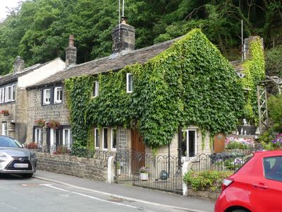
15 and 17, Thunder Bridge Lane, Grade II listed house in Thunder Bridge, in the parish of Kirkburton, Kirklees, West Yorkshire, UK
Posizione: Kirkburton
Coordinate GPS: 53.59956,-1.71661
Ultimo aggiornamento: 3 marzo 2025 alle 02:45
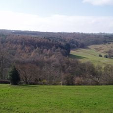
Myers Wood
1 km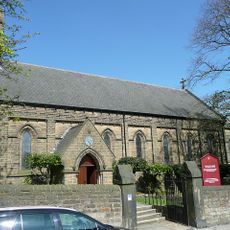
Church of St Paul
1.8 km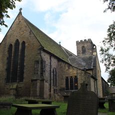
Church of All Hallows
1.4 km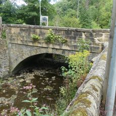
Thunder Bridge
81 m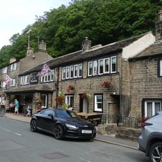
The Woodman Public House
20 m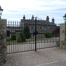
Lumb House Farmhouse
1.7 km
Shepley Library
1.8 km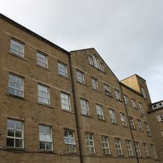
Springfield Mill
1.6 km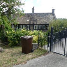
152 and 154, Penistone Road
764 m
2, Town Gate
2.1 km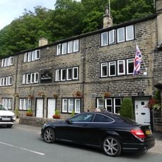
5, 9 and 11, Thunder Bridge Lane
37 m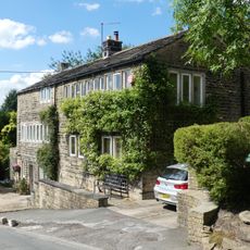
18 and 20, Dam Hill
620 m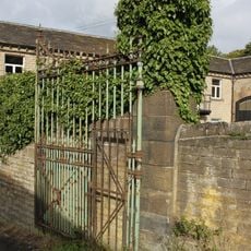
Gateway With Gate And Gate Piers At East Lodge
1.6 km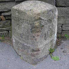
Milestone At Junction With Lydegate Road
1.7 km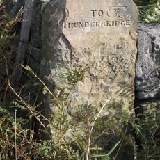
Old Guide Post At Junction With Wood Lane
1.3 km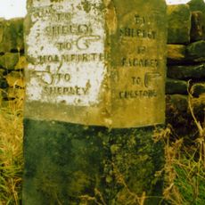
Old Guide Post At Junction With Ing Head Lane
1.7 km
The Lodge
1.6 km
Birks Gate and attached outbuildings
139 m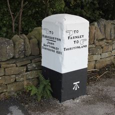
Old Guide Post At Junction With Stores Hall Road
1.5 km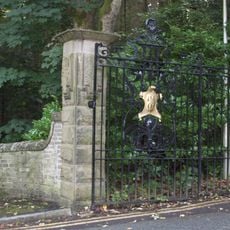
Gate Piers And Gates At The Lodge
1.6 km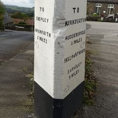
Guide Post At Junction With Far Bank
1.7 km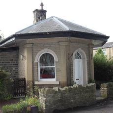
Lodge At Springfield Mill
1.6 km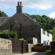
Yew Tree Farm
1.2 km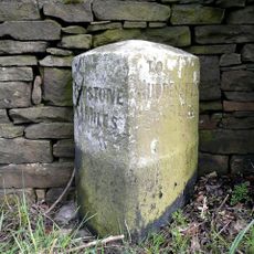
Milestone
875 m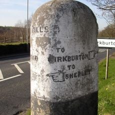
Guide Post At Junction With Riley Lane
702 m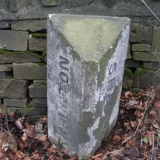
Boundary Stone 150 Yards South Of Junction With Riley Lane
597 m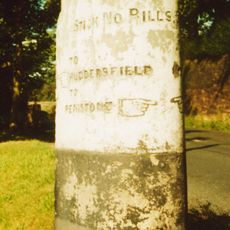
Guidestone, Penistone Road, jct with Ripley Lane; Kirkburton
706 m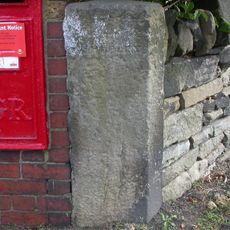
Guidestone, Stocksmoor, Cross Lane
1 kmRecensioni
Ha visitato questo luogo? Tocchi le stelle per valutarlo e condividere la Sua esperienza o foto con la community! Provalo ora! Puoi annullarlo in qualsiasi momento.
Scopri tesori nascosti ad ogni viaggio!
Da piccoli caffè caratteristici a panorami nascosti, fuggi dalla folla e scova i posti che fanno davvero per te. La nostra app ti semplifica tutto: ricerca vocale, filtri furbi, percorsi ottimizzati e dritte autentiche da viaggiatori di tutto il mondo. Scaricala subito per vivere l'avventura sul tuo smartphone!

Un nuovo approccio alla scoperta turistica❞
— Le Figaro
Tutti i luoghi che meritano di essere esplorati❞
— France Info
Un’escursione su misura in pochi clic❞
— 20 Minutes