
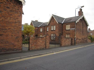
1–19, Dorfold Street, Grade II listed buildings in Cheshire East, Cheshire, CW1
Posizione: Crewe
Inizio: 1848
Piani sopra il suolo: 2
Realizzato in: brick, slate
Coordinate GPS: 53.09701,-2.44248
Ultimo aggiornamento: 10 aprile 2025 alle 06:57

Bentley Crewe
2.1 km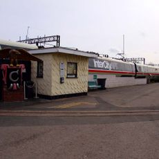
Crewe Heritage Centre
551 m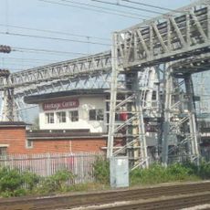
Crewe North Junction signal box
705 m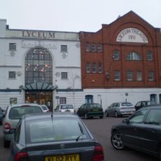
Lyceum Theatre
261 m
St Michael's Church, Coppenhall
1.1 km
St Mary's Church, Crewe
302 m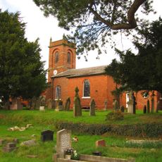
Church of St Mary the Virgin, Wistaston
3.1 km
St Barnabas' Church, Crewe
1.5 km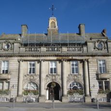
The Municipal Buildings
259 m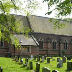
St Michael and All Angels Church, Crewe Green
2.2 km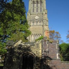
Christ Church Tower, Crewe
160 m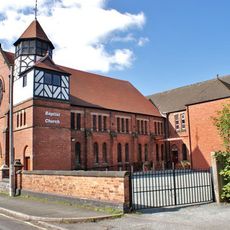
Union Street Baptist Church, Crewe
598 m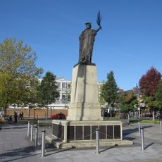
Crewe War Memorial
225 m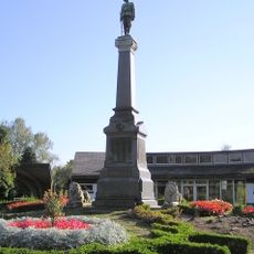
Boer War Memorial, Crewe
1.7 km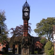
Clock Tower in Queen's Park
1.7 km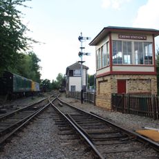
Crewe Heritage Centre
566 m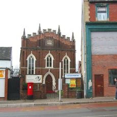
Christadelphian Hall
164 m
1867 buildings at Crewe Railway Station
1.1 km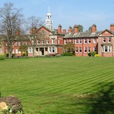
Webb Orphanage, now Webb House
1.8 km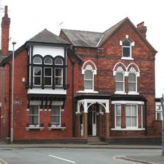
47, Delamere Street
275 m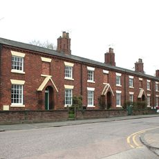
76–90A, Victoria Street
267 m
North Lodge to Crewe Hall Park
3.1 km
West Lodge at Queen's Park
1.7 km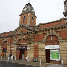
The Market Hall
256 m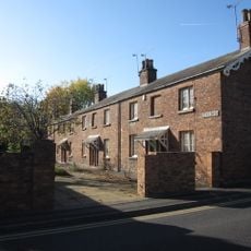
1–19, Betley Street
52 m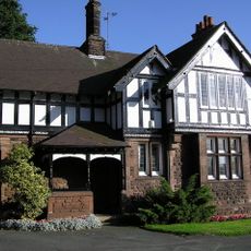
East Lodge at Queen's Park
1.7 km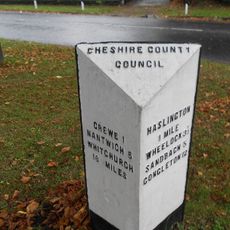
Milestone At Corner Of Narrow Lane
2.2 km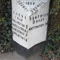
Milepost, Crewe Road; midway between Broughton Lane and Laidon Avenue jcts
2.1 kmRecensioni
Ha visitato questo luogo? Tocchi le stelle per valutarlo e condividere la Sua esperienza o foto con la community! Provalo ora! Puoi annullarlo in qualsiasi momento.
Scopri tesori nascosti ad ogni viaggio!
Da piccoli caffè caratteristici a panorami nascosti, fuggi dalla folla e scova i posti che fanno davvero per te. La nostra app ti semplifica tutto: ricerca vocale, filtri furbi, percorsi ottimizzati e dritte autentiche da viaggiatori di tutto il mondo. Scaricala subito per vivere l'avventura sul tuo smartphone!

Un nuovo approccio alla scoperta turistica❞
— Le Figaro
Tutti i luoghi che meritano di essere esplorati❞
— France Info
Un’escursione su misura in pochi clic❞
— 20 Minutes