
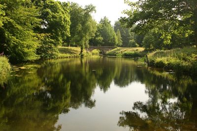
Footbridge in Menagerie Wood approximately 200 metres south east of Cascade Bridge in Bretton Park
Footbridge in Menagerie Wood approximately 200 metres south east of Cascade Bridge in Bretton Park, Grade II listed footbridge in the grounds of Bretton Hall, High Hoyland, Barnsley, South Yorkshire, UK
Posizione: High Hoyland
Coordinate GPS: 53.60652,-1.57400
Ultimo aggiornamento: 4 marzo 2025 alle 11:02
Yorkshire Sculpture Park
895 m
Bretton Hall College
471 m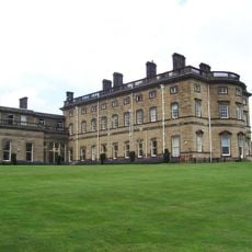
Bretton Hall
471 m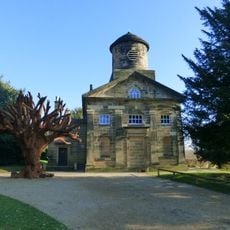
Church In Bretton Park
890 m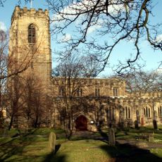
Church of All Saints
3.7 km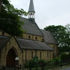
Church of All Saints
2.8 km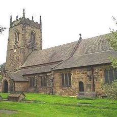
Church of St Peter, Woolley
3.7 km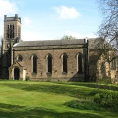
Church of St Augustine
3.9 km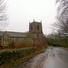
Church of All Hallows
1.9 km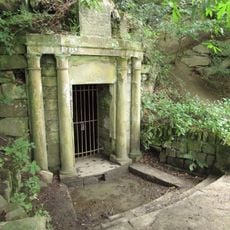
Rock Well approximately 50 metres west of Dam Head Cottages in Bretton Park
688 m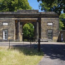
Archway Lodge In Bretton Park Including Flanking Walls
1.1 km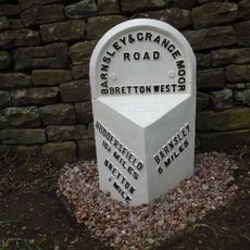
Milepost Approximately 600 Metres South Of Junction With Park Road
1.1 km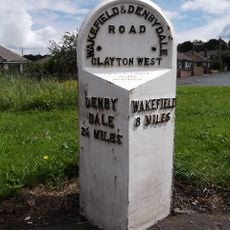
Milepost At Juntion With Park Road
2.7 km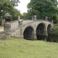
Bridge over The Cut (east end) in Bretton Park
761 m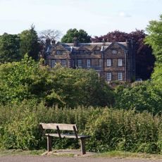
Birthwaite Hall Including Attached Range To West
2.6 km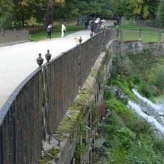
Cascade Bridge and weir in Bretton Park
233 m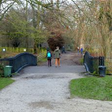
Bridge over The Cut immediately north of Cascade Bridge in Bretton Park
283 m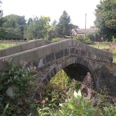
Park Mill Bridge
2.3 km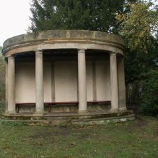
Summer house in Bridge Royd Wood approximately 200 metres west of Cascade Bridge in Breton Park
394 m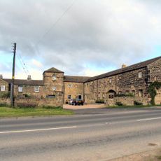
Windhill Gate Farmhouse An Attached Outbuildings
3.7 km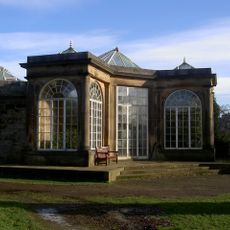
Camellia House in Bretton Park approximately 80 metres west of Bretton Hall
554 m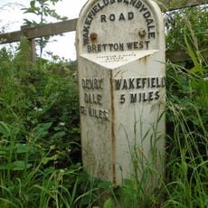
Milepost Approximately 1000 Metres North East Of West Bretton Traffic Island
2.6 km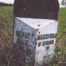
Milepost Approximately 500 Metres West Of West Bretton Traffic Island
1.9 km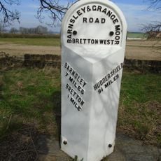
Milepost Approximately 100 Metres South Of West Bretton Traffic Island
2 km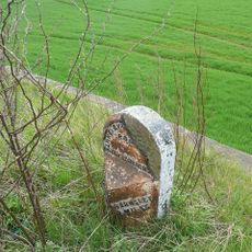
Milestone Approximately 100 Metres South Of Track To Snapethorpe Farm
2.4 km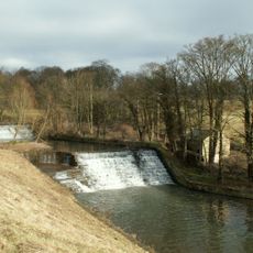
Overflow to Lower Lake, 3 weirs to east side of dam and pump house adjacent to Middle Weir in Bretton Park
757 m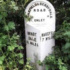
Milepost 200 Yards South Of Junction With Litherop Lane
1.4 km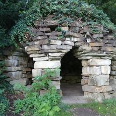
Grotto at Bretton Hall
325 mRecensioni
Ha visitato questo luogo? Tocchi le stelle per valutarlo e condividere la Sua esperienza o foto con la community! Provalo ora! Puoi annullarlo in qualsiasi momento.
Scopri tesori nascosti ad ogni viaggio!
Da piccoli caffè caratteristici a panorami nascosti, fuggi dalla folla e scova i posti che fanno davvero per te. La nostra app ti semplifica tutto: ricerca vocale, filtri furbi, percorsi ottimizzati e dritte autentiche da viaggiatori di tutto il mondo. Scaricala subito per vivere l'avventura sul tuo smartphone!

Un nuovo approccio alla scoperta turistica❞
— Le Figaro
Tutti i luoghi che meritano di essere esplorati❞
— France Info
Un’escursione su misura in pochi clic❞
— 20 Minutes