
Lodge Farmhouse, farmhouse in Ansty and Staplefield, Mid Sussex, West Sussex, UK
Posizione: Ansty and Staplefield
Coordinate GPS: 50.99563,-0.14049
Ultimo aggiornamento: 25 marzo 2025 alle 09:14
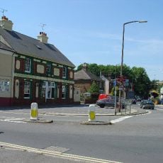
World's End, West Sussex
3.8 km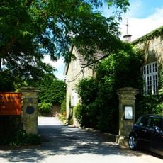
Ockenden Manor
1.2 km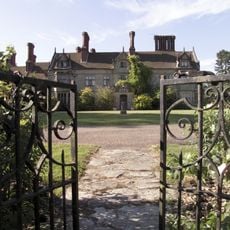
Borde Hill Garden
3.5 km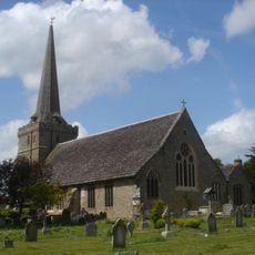
Holy Trinity Church, Cuckfield
1.1 km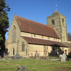
St Wilfrid's Church, Haywards Heath
2.5 km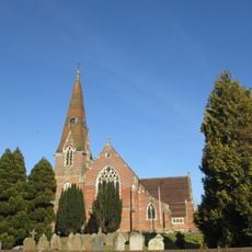
St John the Evangelist's Church, Burgess Hill
4.3 km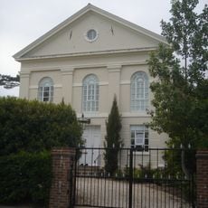
Providence Strict Baptist Chapel, Burgess Hill
4.1 km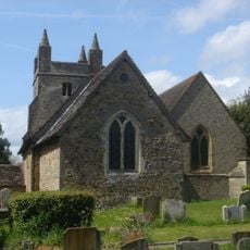
St Mary Magdalene's Church, Bolney
4.5 km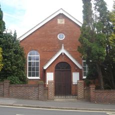
Jireh Chapel
2.9 km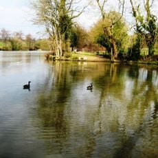
Bedelands Farm Nature Reserve
2.9 km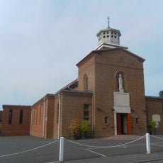
St Wilfrid's Church, Burgess Hill
4.7 km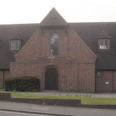
St Richard's Church, Haywards Heath
3 km
Blunts Wood and Paiges Meadow
1.5 km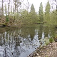
Ashenground and Bolnore Woods
1.8 km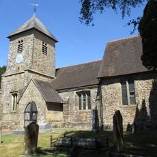
The Parish Church of St Peter and St John the Baptist
4.2 km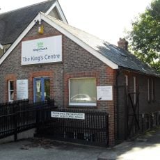
King's Church Uckfield
4 km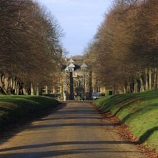
Gatehouse To Cuckfield Park Including Iron Railings
1.2 km
Ote Hall Chapel
4.7 km
Barnlands 95 - 97 High Street Lindfield RH16 2HN
4.7 km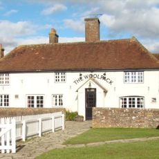
The Woolpack Public House
3.6 km
St Edward the Confessor
4 km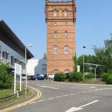
Water Tower Of St Francis' Hospital
3.3 km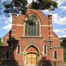
St Andrew's Church
4.2 km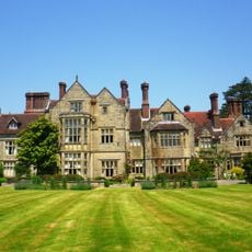
Borde Hill Place
3.5 km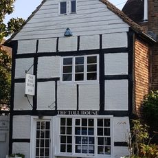
The Toll House
4.6 km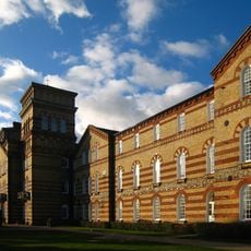
Main Block Of St Francis' Hospital
3.2 km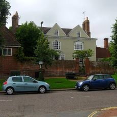
The Manor House
4.6 km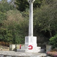
Bolney War Memorial
4.4 kmRecensioni
Ha visitato questo luogo? Tocchi le stelle per valutarlo e condividere la Sua esperienza o foto con la community! Provalo ora! Puoi annullarlo in qualsiasi momento.
Scopri tesori nascosti ad ogni viaggio!
Da piccoli caffè caratteristici a panorami nascosti, fuggi dalla folla e scova i posti che fanno davvero per te. La nostra app ti semplifica tutto: ricerca vocale, filtri furbi, percorsi ottimizzati e dritte autentiche da viaggiatori di tutto il mondo. Scaricala subito per vivere l'avventura sul tuo smartphone!

Un nuovo approccio alla scoperta turistica❞
— Le Figaro
Tutti i luoghi che meritano di essere esplorati❞
— France Info
Un’escursione su misura in pochi clic❞
— 20 Minutes