
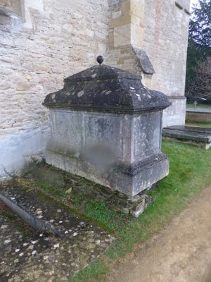
Chest tomb approximately 1/2 metre west of Church of St Mary
Chest tomb approximately 1/2 metre west of Church of St Mary, Grade II listed chest tomb in Kidlington, Cherwell, Oxfordshire, UK
Posizione: Kidlington
Coordinate GPS: 51.82965,-1.28023
Ultimo aggiornamento: 3 marzo 2025 alle 06:59
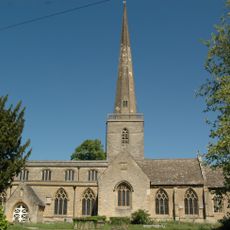
Church of St Mary
25 m
Church of St Mary
732 m
Sterling Cinema
829 m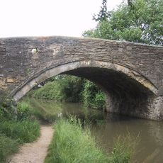
Bridge 227, Oxford Canal
1.6 km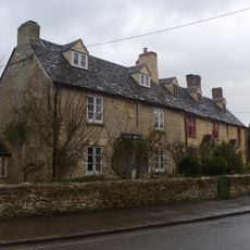
74 and 76, Church Street
67 m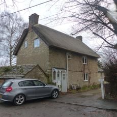
86 and 88, Church Street
78 m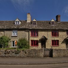
78, Church Street
56 m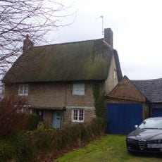
82 and 84, Church Street
78 m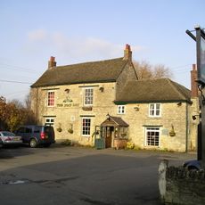
The Boat Public House
1.9 km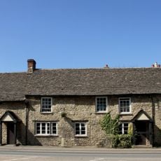
Kings Arms Public House And Attached Mounting Block
1.4 km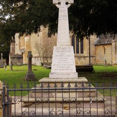
Kidlington and Hamlets War Memorial
32 m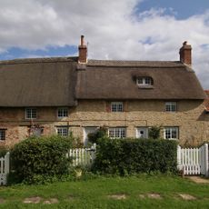
Thrupp Yard Cottages and attched outbuilding
1.7 km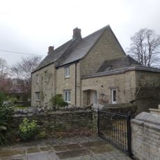
Old Priest's House
32 m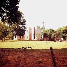
Ruins of Manor House
2 km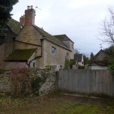
The Old Manor House
833 m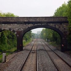
Railway Bridge At Sp 4832 1529
1.4 km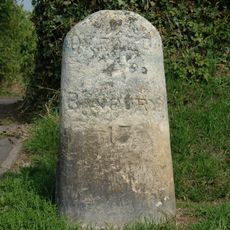
Milestone On Banbury Road, Kidlington
1.2 km
Manor Farmhouse
1.9 km
Model Farmhouse
1 km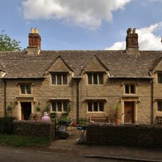
Morton Almshouses
74 m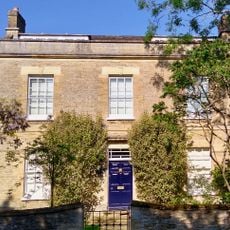
Exeter House
1.2 km
Poyle Court
913 m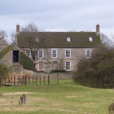
Manor Farmhouse
660 m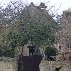
Dovecote and granary approximately 15 metres east of Manor Farmhouse
1.9 km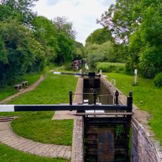
Roundham Lock, Oxford Canal
1.5 km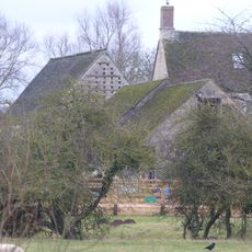
Outbuilding approximately 5 metres north west of Manor Farmhouse
675 m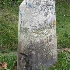
Milestone, Banbury Road; by No.118 & 120
1.2 km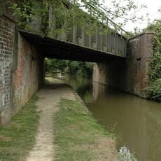
Oxford Canal Bridge 226A
1.5 kmRecensioni
Ha visitato questo luogo? Tocchi le stelle per valutarlo e condividere la Sua esperienza o foto con la community! Provalo ora! Puoi annullarlo in qualsiasi momento.
Scopri tesori nascosti ad ogni viaggio!
Da piccoli caffè caratteristici a panorami nascosti, fuggi dalla folla e scova i posti che fanno davvero per te. La nostra app ti semplifica tutto: ricerca vocale, filtri furbi, percorsi ottimizzati e dritte autentiche da viaggiatori di tutto il mondo. Scaricala subito per vivere l'avventura sul tuo smartphone!

Un nuovo approccio alla scoperta turistica❞
— Le Figaro
Tutti i luoghi che meritano di essere esplorati❞
— France Info
Un’escursione su misura in pochi clic❞
— 20 Minutes