
Water Orton, village in the United Kingdom
Posizione: North Warwickshire
Coordinate GPS: 52.51700,-1.73600
Ultimo aggiornamento: 4 marzo 2025 alle 00:23
The Belfry
4.2 km
Sentinel
4.2 km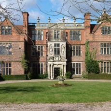
Castle Bromwich Hall
4 km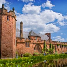
Castello di Maxstoke
4.8 km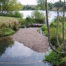
Babbs Mill Lake
3.6 km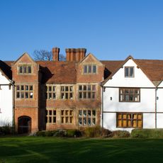
Sheldon Hall
4 km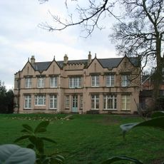
Pype Hayes Hall
5 km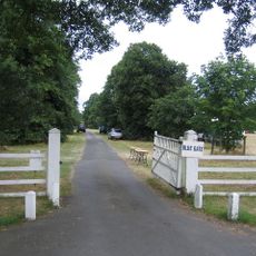
Blyth Hall
3.1 km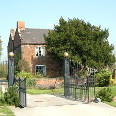
Peddimore Hall
3.8 km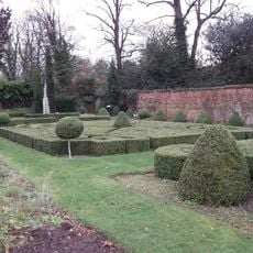
Castle Bromwich Hall Gardens
4 km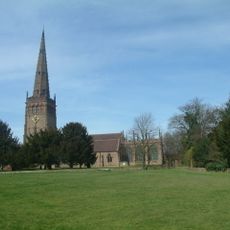
Church of St Peter and St Paul, Coleshill
2.9 km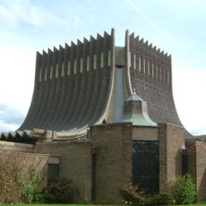
Our Lady Help of Christians Church
4.7 km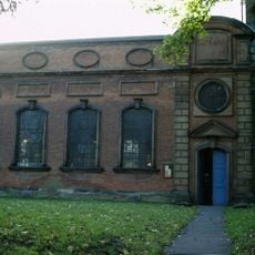
St Mary and St Margaret's Church, Castle Bromwich
3.9 km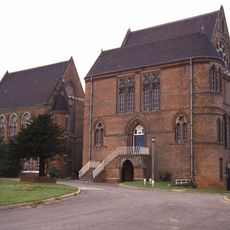
The Pumping Station, Whitacre Waterworks
3.6 km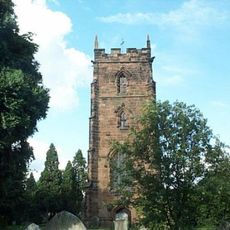
Church of St Nicholas and St Peter ad Vincula, Curdworth
1.8 km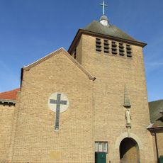
All Saints' Church
3.7 km
Hemlingford
2.1 km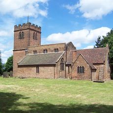
St Chad's Church, Wishaw
3.5 km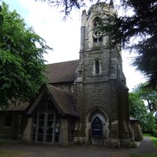
St Peter and St Paul's Church, Water Orton
315 m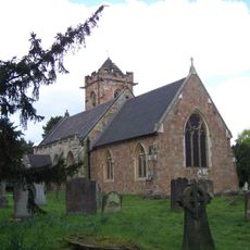
Church of St John the Baptist
3 km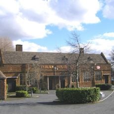
The Tyburn Public House (Including Outbuilding And Courtyard Wall To East)
4.4 km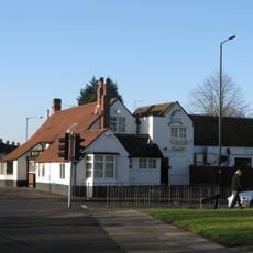
The White Hart Public House
4.2 km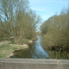
Blyth Bridge (That Part In Coleshill Civil Parish)
3.3 km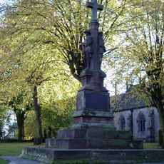
Coleshill War Memorial, Warwickshire
2.9 km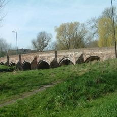
Cole Bridge
2.4 km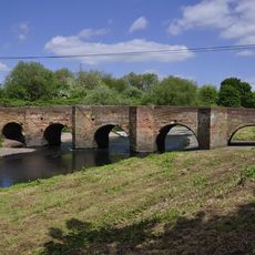
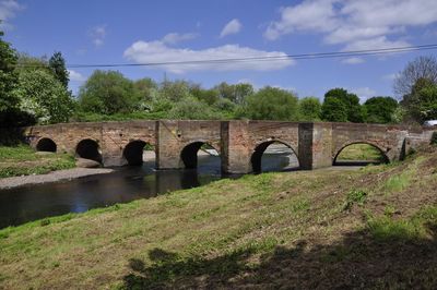
Water Orton Bridge
702 m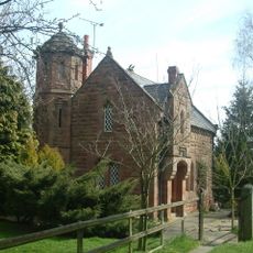
Blythe Lodge
3.5 km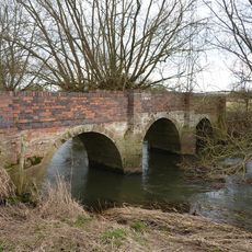
Blyth Hall Packhorse Bridge
3.1 kmRecensioni
Ha visitato questo luogo? Tocchi le stelle per valutarlo e condividere la Sua esperienza o foto con la community! Provalo ora! Puoi annullarlo in qualsiasi momento.
Scopri tesori nascosti ad ogni viaggio!
Da piccoli caffè caratteristici a panorami nascosti, fuggi dalla folla e scova i posti che fanno davvero per te. La nostra app ti semplifica tutto: ricerca vocale, filtri furbi, percorsi ottimizzati e dritte autentiche da viaggiatori di tutto il mondo. Scaricala subito per vivere l'avventura sul tuo smartphone!

Un nuovo approccio alla scoperta turistica❞
— Le Figaro
Tutti i luoghi che meritano di essere esplorati❞
— France Info
Un’escursione su misura in pochi clic❞
— 20 Minutes