
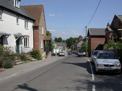
Sixpenny Handley, village in Dorset, United Kingdom
Posizione: Sixpenny Handley and Pentridge
Coordinate GPS: 50.95480,-2.00730
Ultimo aggiornamento: 5 marzo 2025 alle 15:45
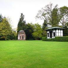
Larmer Tree Gardens
5.3 km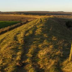
Bokerley Dyke
5 km
Wor Barrow and two bowl barrows on Handley Down
1.6 km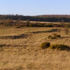
Bronze Age and Romano-British enclosure on Martin Down, east of Bokerley Junction
5.5 km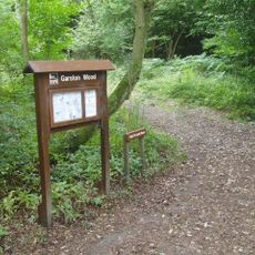
Garston Wood
2.2 km
Iron Age and Romano-British settlement remains on Woodcutts Common, 850m south east and 845m SSE of Arundell Cottages
3.3 km
Iron Age and Romano-British settlement remains on Rotherley Down
5.2 km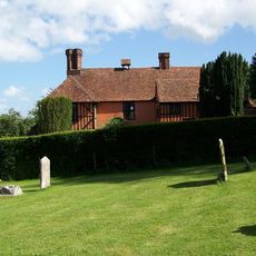
King John's House, Tollard Royal
5.2 km
Rotherley Downs
5.5 km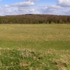
Group of round barrows on Oakley Down
2.3 km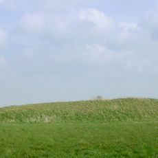
Two long barrows on Gussage Hill
3.6 km
Church of St Lawrence
4.4 km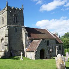
Church of St Peter Ad Vincula
5.2 km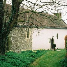
Church of St Andrew
3.6 km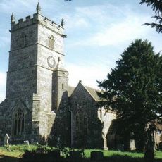
Church of St Mary
52 m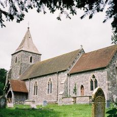
Church of St Rumbold
3.8 km
Tollard Royal And Rushmore War Memorial
5.2 km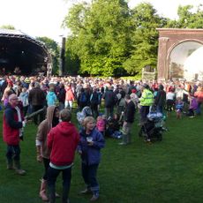
Singing Theatre
5.3 km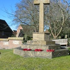
Sixpenny Handley War Memorial
21 m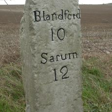
Milestone
1.6 km
Milestone
4.6 km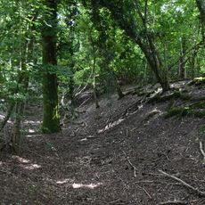
Camp in Mistlebury Wood
2.2 km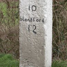
Milestone
3.8 km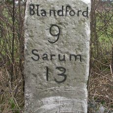
Milestone
2 km
Packhorse Bridge Approximately 35M South Of Ryall's Farmhouse.
4.9 km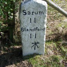
Milestone, just SW of Yew Trees Garage;
2.5 km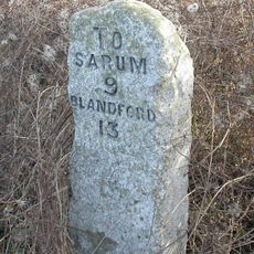
Milestone, Vernditch Chase
5.3 km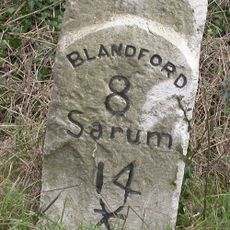
Milestone, 400m SW of entrance road to Chapel Down farm, NE of Cashmoor
3.2 kmRecensioni
Ha visitato questo luogo? Tocchi le stelle per valutarlo e condividere la Sua esperienza o foto con la community! Provalo ora! Puoi annullarlo in qualsiasi momento.
Scopri tesori nascosti ad ogni viaggio!
Da piccoli caffè caratteristici a panorami nascosti, fuggi dalla folla e scova i posti che fanno davvero per te. La nostra app ti semplifica tutto: ricerca vocale, filtri furbi, percorsi ottimizzati e dritte autentiche da viaggiatori di tutto il mondo. Scaricala subito per vivere l'avventura sul tuo smartphone!

Un nuovo approccio alla scoperta turistica❞
— Le Figaro
Tutti i luoghi che meritano di essere esplorati❞
— France Info
Un’escursione su misura in pochi clic❞
— 20 Minutes