
Fulford, village and civil parish in the Stafford district of Staffordshire, England
Posizione: Stafford
Coordinate GPS: 52.93820,-2.07197
Ultimo aggiornamento: 1 aprile 2025 alle 22:16

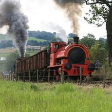
Foxfield Railway
7.4 km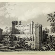
Castello di Caverswall
4.9 km
Oulton Abbey
5 km
Church of the Holy Evangelists
5.6 km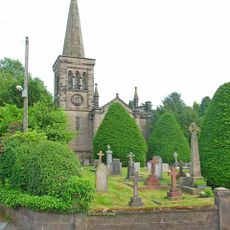
Christ Church
3.1 km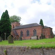
Church of St Nicholas
516 m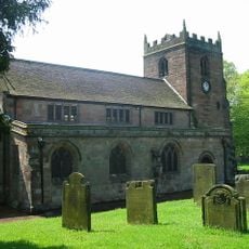
Church of St Peter
4.9 km
Church of St Margaret
3.7 km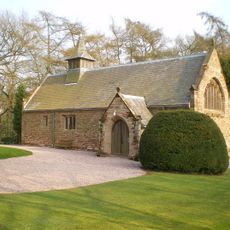
All Saint's Church
2.9 km
Stallington Hall Hospital And Attached Stables
1.5 km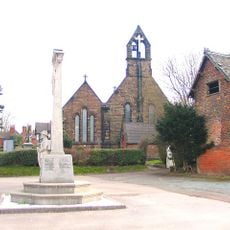
Forsbrook and Blythe Bridge War Memorial
3.4 km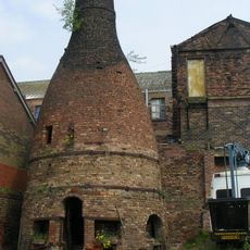
Bottle Oven On Corner Of Warren Street
6.3 km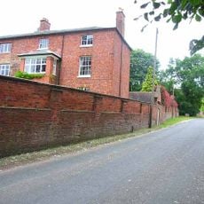
Oulton Old Hall
5 km
St Mary's Abbey
4.9 km
Milepost At Sj9945039761 Approximately 140M East Of Totmonslow Farm
4.6 km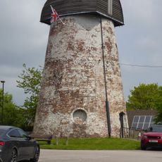
Windmill (Now Used As A Transmitter Station)
3.2 km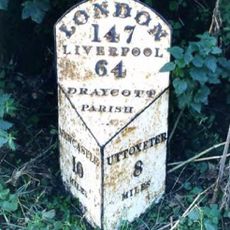
Milepost, near Totmonslow
4.6 km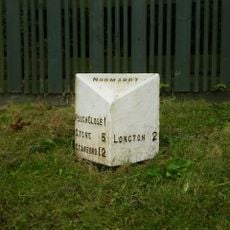
Milepost, Lightwood
4.1 km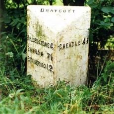
Milepost, Manor Farm, between Draycott & Cresswell, nr jct
3.5 km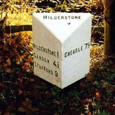
Milepost, S of Bird Grove
2.1 km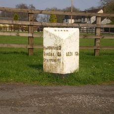
Milepost, S of Meir Heath
2.2 km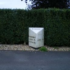
Milepost, Meir Heath
3.6 km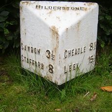
Milepost, Hilderstone village
3.3 km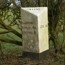
Milepost, near Spot Farm, N of Hilderstone
1.9 km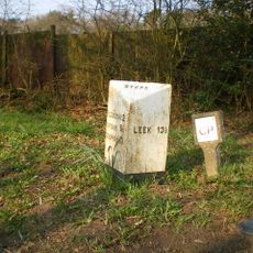
Milepost, N of Spot Acre
1.3 km
Milepost, near Moddershall
3.8 km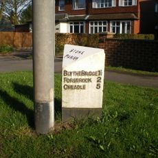
Milepost, between Meir Heath & Blythe Bridge
3.1 km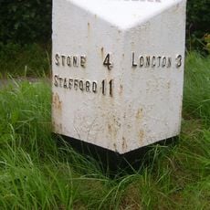
Milepost, Rough Close
3.2 kmRecensioni
Ha visitato questo luogo? Tocchi le stelle per valutarlo e condividere la Sua esperienza o foto con la community! Provalo ora! Puoi annullarlo in qualsiasi momento.
Scopri tesori nascosti ad ogni viaggio!
Da piccoli caffè caratteristici a panorami nascosti, fuggi dalla folla e scova i posti che fanno davvero per te. La nostra app ti semplifica tutto: ricerca vocale, filtri furbi, percorsi ottimizzati e dritte autentiche da viaggiatori di tutto il mondo. Scaricala subito per vivere l'avventura sul tuo smartphone!

Un nuovo approccio alla scoperta turistica❞
— Le Figaro
Tutti i luoghi che meritano di essere esplorati❞
— France Info
Un’escursione su misura in pochi clic❞
— 20 Minutes