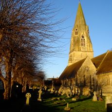
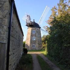
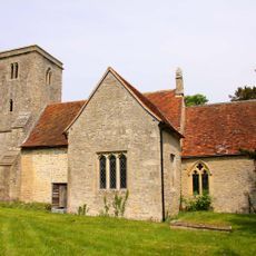
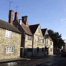
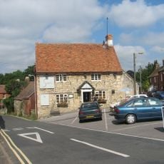
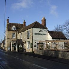
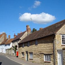
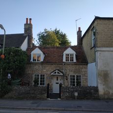
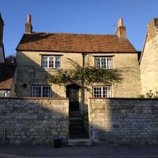
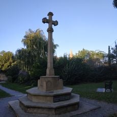
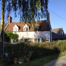
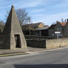
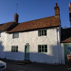
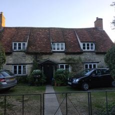
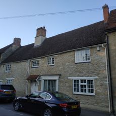
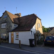
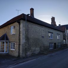
Wheatley, village and civil parish in South Oxfordshire, England
Posizione: South Oxfordshire
Confina con: Holton, Forest Hill with Shotover, Horspath, Cuddesdon and Denton, Great Milton
Sito web: http://wheatleyparishcouncil.gov.uk
Coordinate GPS: 51.74700,-1.13900
Ultimo aggiornamento: 3 marzo 2025 alle 02:53
Church of St Mary
171 m
Wheatley Windmill
825 m
Church of St Bartholomew, Holton
1.2 km
Western Pier of Gateway Approximately 1150 Metres South West of Shotover Park
1.9 km
The King And Queen Public House
35 m
The Sun Inn
241 m
The Kings Arms Public House
533 m
Octagonal Temple Approximately 250 Metres To South West Of Shotover Park
1.5 km
109, High Street
271 m
46, High Street
46 m
105, High Street
240 m
Wheatley War Memorial
18 m
Greystone
203 m
Ambrose Farmhouse
565 m
Milestone Approximately 350 Metres South East Of Junction With B4027
696 m
19, 21 And 23, Crown Road
381 m
The Crest
93 m
College Farm
320 m
Lock Up
127 m
103, High Street
232 m
38, High Street
86 m
Wall And Outbuildings Along Crown Road In Front Of Mulberry Court
374 m
90, High Street
213 m
5, Roman Road
678 m
The Old Forge House
214 m
Micheldene
101 m
82, High Street
172 m
Cromwell House
260 mRecensioni
Ha visitato questo luogo? Tocchi le stelle per valutarlo e condividere la Sua esperienza o foto con la community! Provalo ora! Puoi annullarlo in qualsiasi momento.
Scopri tesori nascosti ad ogni viaggio!
Da piccoli caffè caratteristici a panorami nascosti, fuggi dalla folla e scova i posti che fanno davvero per te. La nostra app ti semplifica tutto: ricerca vocale, filtri furbi, percorsi ottimizzati e dritte autentiche da viaggiatori di tutto il mondo. Scaricala subito per vivere l'avventura sul tuo smartphone!
Un nuovo approccio alla scoperta turistica❞
— Le Figaro
Tutti i luoghi che meritano di essere esplorati❞
— France Info
Un’escursione su misura in pochi clic❞
— 20 Minutes