
Methwold, villaggio e parrocchia civile in Inghilterra
Posizione: King's Lynn and West Norfolk
Confina con: Oxborough
Sito web: https://methwold.net
Coordinate GPS: 52.51670,0.55000
Ultimo aggiornamento: 4 marzo 2025 alle 12:40
Church of St Andrew
3.9 km
St Nicholas' Church, Feltwell
3.7 km
Church of St Mary
3.7 km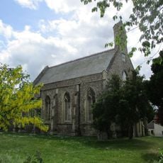
Church of All Saints
6.4 km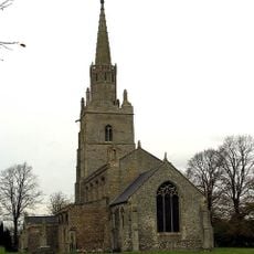
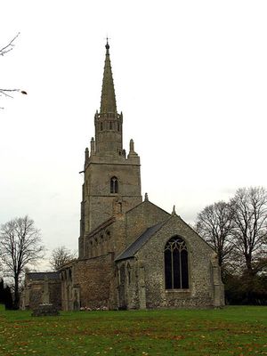
Church of St George
803 m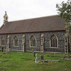
Christchurch
5.4 km
Stoke Ferry War Memorial
6.5 km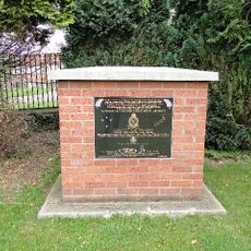
No.75 (New Zealand) Squadron RAF Memorial, Feltwell
3.7 km
Canterbury House
6.4 km
47-51, High Street
3.8 km
Wood Hall
10.7 km
The Old Vicarage
733 m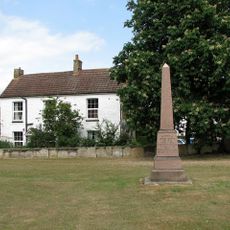
Methwold War Memorial
1.1 km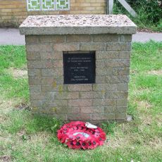
RAF Methwold Memorial
874 m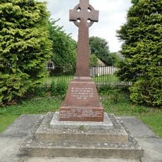
Feltwell War Memorial
3.7 km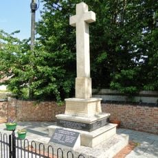
Northwold War Memorial
3.8 km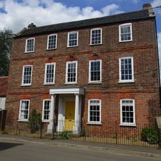
43, High Street
3.8 km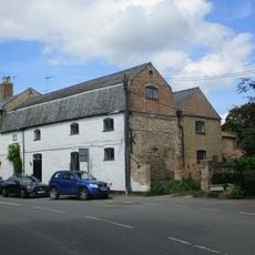
The Old Granary
6.4 km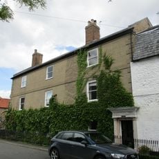
The Surgery
6.4 km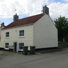
44, High Street
3.8 km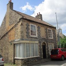
The Old Chemists Shop
6.4 km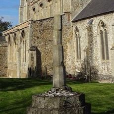
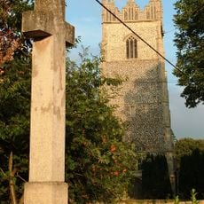
Cross in Churchyard of St George
782 m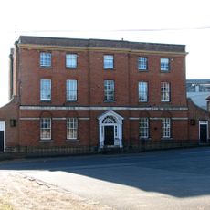
Stoke Ferry Hall
6.5 km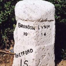
Milestone, Bridge Rd 20yds S of Hawthorn Lodge
6.2 km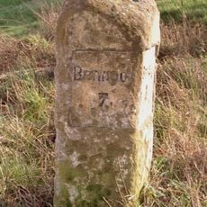
Milestone, Stoke Rd, Brookeville at jct with Scotts Lane
2.1 km
Milestone, Brandon Rd, Methwold
769 m
Milestone, Methwold Rd, Whittington
4.9 km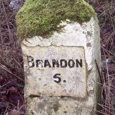
Milestone, 100m S of entrance to caravan park at Methwold Warren
1.8 kmRecensioni
Ha visitato questo luogo? Tocchi le stelle per valutarlo e condividere la Sua esperienza o foto con la community! Provalo ora! Puoi annullarlo in qualsiasi momento.
Scopri tesori nascosti ad ogni viaggio!
Da piccoli caffè caratteristici a panorami nascosti, fuggi dalla folla e scova i posti che fanno davvero per te. La nostra app ti semplifica tutto: ricerca vocale, filtri furbi, percorsi ottimizzati e dritte autentiche da viaggiatori di tutto il mondo. Scaricala subito per vivere l'avventura sul tuo smartphone!

Un nuovo approccio alla scoperta turistica❞
— Le Figaro
Tutti i luoghi che meritano di essere esplorati❞
— France Info
Un’escursione su misura in pochi clic❞
— 20 Minutes