Mere Sands Wood, Riserva naturale e Sito di Interesse Scientifico Speciale nel West Lancashire, Inghilterra
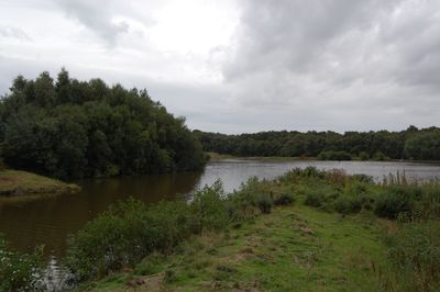
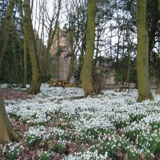
Mere Sands Wood è una riserva naturale che si estende per diverse decine di ettari con laghi, boschi, prati e brughiere. Il sito ha sei aree di osservazione e piattaforme posizionate per permettere ai visitatori di osservare la fauna selvatica.
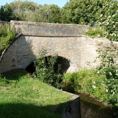
Il terreno faceva parte del lago Martin Mere fino alla fine del 19e secolo, prima di essere utilizzato per altri scopi, inclusa l'estrazione di sabbia per la produzione di vetro. È stato successivamente restaurato e trasformato nella riserva naturale odierna.
La Lancashire Wildlife Trust gestisce questo spazio, che è diventato un luogo importante per osservare gli uccelli nei loro habitat naturali. I visitatori scoprono come la natura cambia nel corso dell'anno e possono partecipare a programmi educativi locali.
La maggior parte dei sentieri del sito sono accessibili alle sedie a rotelle, permettendo ai visitatori di tutti i livelli di esplorare le diverse aree. Un centro visitatori offre rinfreschi e diversi osservatori per la fauna sono distribuiti nel terreno.
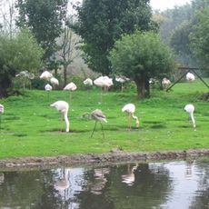
Una piccola popolazione di scoiattoli rossi vive nella piantagione di pini, offrendo ai visitatori una vista rara in questa regione. I corpi d'acqua ospitano circa quindici specie di libellule che volteggiano su laghi e stagni durante i mesi più caldi.
La comunità dei viaggiatori curiosi
AroundUs riunisce migliaia di luoghi selezionati, consigli locali e gemme nascoste, arricchiti ogni giorno da oltre 60,000 contributori in tutto il mondo.