
Stapleford, village and civil parish in Hertfordshire, UK
Posizione: East Hertfordshire
Coordinate GPS: 51.83600,-0.09000
Ultimo aggiornamento: 11 marzo 2025 alle 11:13
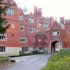
Goldings estate
2.9 km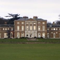
Woodhall Park
1.9 km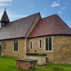
Church of Saint Leonard, Bengeo
3.5 km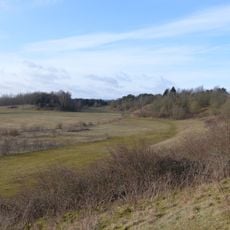
Waterford Heath
2 km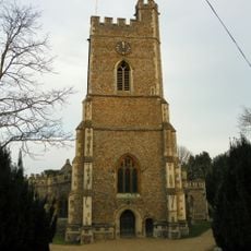
Church of St Andrew and St Mary
2.4 km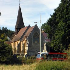
Church of St Michael and All Angels
2.4 km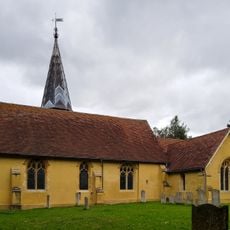
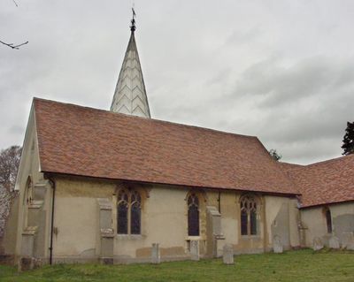
Church of St Mary the Virgin
518 m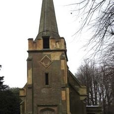
Church of St Andrew
2.9 km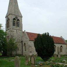
Church of Holy Trinity, Bengeo
3.5 km
Queen Hoo Hall
3.9 km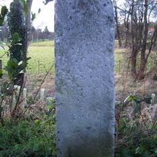
Milestone In Verge Outside Goldings Park At Ngr Tl 3148 1420
2.8 km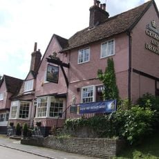
George And Dragon Public House
2.8 km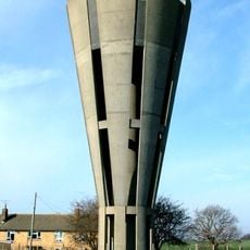
Tonwell Water Tower (pronounced ('Tunnel')
1.8 km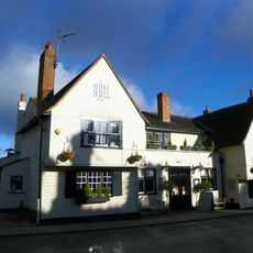
The Bull Public House
2.7 km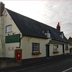
The Robin Hood Public House
1.7 km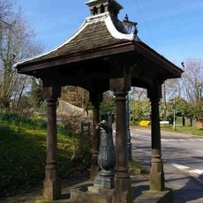
Village Pump And Housing
2.9 km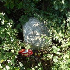
Milestone
2.2 km
Hetford Lodge East
1.4 km
93 And 95, High Street
2.8 km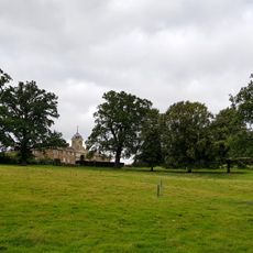
The Stables
1.5 km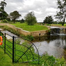
Casade, Weir And Sluice On River Beane About 30 Metres North Of Drive
1.3 km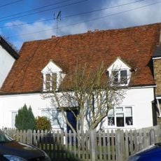
123, High Street
2.7 km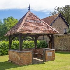
The Old Well House About 20 Metres South West Of Number 2
2.8 km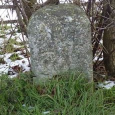
Milestone
1.4 km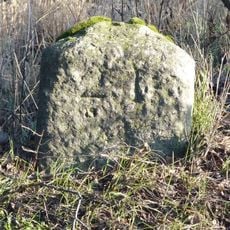
Milestone
1.7 km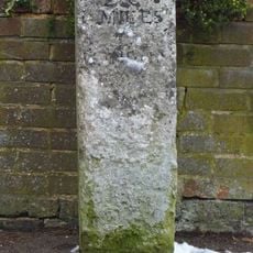
Milestone Aboout 15 Metres East Of Number 138
2.5 km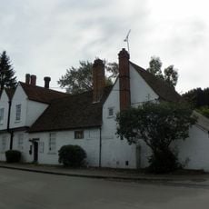
Watton Place And Attached Garden Wall
3 km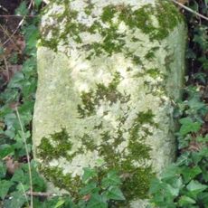
Milestone, S of Tonwell beside footpath on track of old road E of A602
1.9 kmRecensioni
Ha visitato questo luogo? Tocchi le stelle per valutarlo e condividere la Sua esperienza o foto con la community! Provalo ora! Puoi annullarlo in qualsiasi momento.
Scopri tesori nascosti ad ogni viaggio!
Da piccoli caffè caratteristici a panorami nascosti, fuggi dalla folla e scova i posti che fanno davvero per te. La nostra app ti semplifica tutto: ricerca vocale, filtri furbi, percorsi ottimizzati e dritte autentiche da viaggiatori di tutto il mondo. Scaricala subito per vivere l'avventura sul tuo smartphone!

Un nuovo approccio alla scoperta turistica❞
— Le Figaro
Tutti i luoghi che meritano di essere esplorati❞
— France Info
Un’escursione su misura in pochi clic❞
— 20 Minutes