
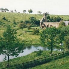
Kirby Underdale, village and civil parish in East Riding of Yorkshire, United Kingdom
Posizione: East Riding of Yorkshire
Coordinate GPS: 54.01689,-0.77002
Ultimo aggiornamento: 3 marzo 2025 alle 03:01
Wharram Percy
7.7 km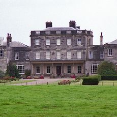
Birdsall House
6.3 km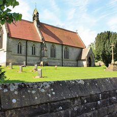
Church of Saint Mary
4.3 km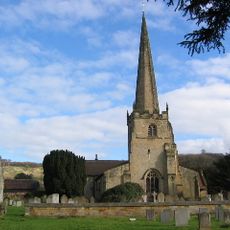
Church of St Edith
3.5 km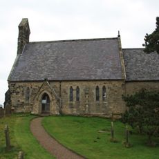
Church of All Saints
6.7 km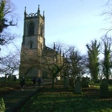
Church of Saint Mary
6.9 km
Church of Saint Martin
6.9 km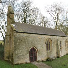
Church of Saint Ethelburgh
4.7 km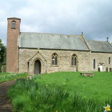
Church of Saint Mary
5.9 km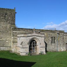
Church of St Mary
6.8 km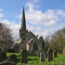
Church of St. Mary
8.1 km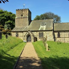
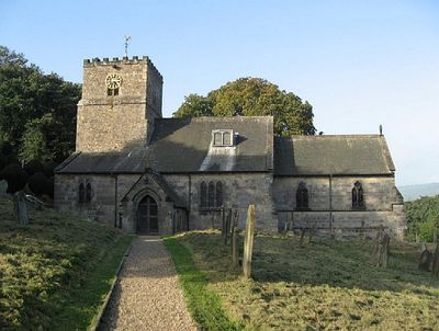
Church of All Saints
152 m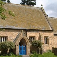
Church of St Mary
6.7 km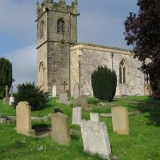
Church of St Andrew
3.5 km
Church of St Margaret
7.1 km
Church of St Martin
6.6 km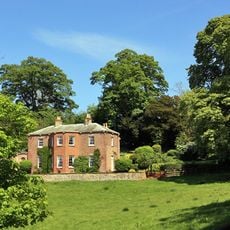
Painsthorpe Hall
589 m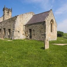
Church of Saint Martin
7.6 km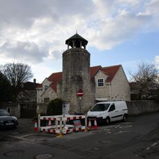
Part of Leppington medieval village, a moated site and site of the former parish church of St Helen
5 km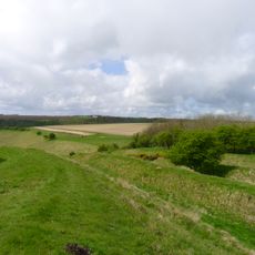
Sections of single and multiple linear boundary dykes on Huggate Pasture and Frendal Dale
5.8 km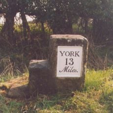
Milestone At Se 789566
2.7 km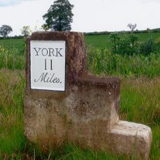
Milestone At Se 758562
5.5 km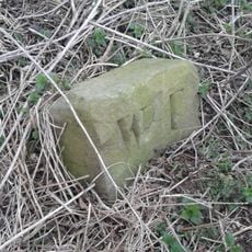
Boundary Stone At Ngr Se 871539
7.9 km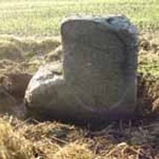
Milestone, just W of Full Sutton jct.
6.8 km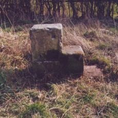
Milestone, 550m W of Barf Lane (to Bugthorpe)
3.9 km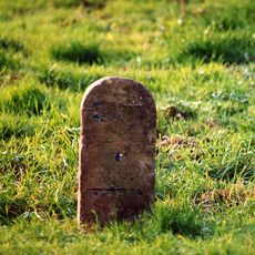
Milestone, entrance to Wold House Farm (east entrance)
5.6 km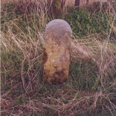
Milestone, ¾mile from Fridaythorpe on Fimber Road
7.9 km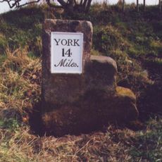
Milestone, 100m E of the Crucification memorial
1.9 kmRecensioni
Ha visitato questo luogo? Tocchi le stelle per valutarlo e condividere la Sua esperienza o foto con la community! Provalo ora! Puoi annullarlo in qualsiasi momento.
Scopri tesori nascosti ad ogni viaggio!
Da piccoli caffè caratteristici a panorami nascosti, fuggi dalla folla e scova i posti che fanno davvero per te. La nostra app ti semplifica tutto: ricerca vocale, filtri furbi, percorsi ottimizzati e dritte autentiche da viaggiatori di tutto il mondo. Scaricala subito per vivere l'avventura sul tuo smartphone!

Un nuovo approccio alla scoperta turistica❞
— Le Figaro
Tutti i luoghi che meritano di essere esplorati❞
— France Info
Un’escursione su misura in pochi clic❞
— 20 Minutes