
Windrush, village and civil parish in Gloucestershire, United Kingdom
Posizione: Cotswold
Coordinate GPS: 51.80400,-1.73500
Ultimo aggiornamento: 13 marzo 2025 alle 00:46

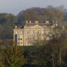
Barrington Park
2.7 km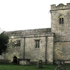
Church of St Peter
1.6 km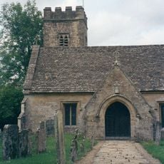
Church of St Peter
2.7 km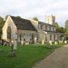
Church of St Mary
2.8 km
Stableblock Circa 35 Metres West Of Park Farmhouse
3.1 km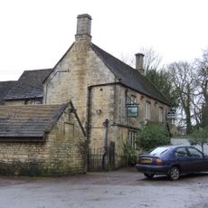
The Fox Inn
2.5 km
Reading Room
2.9 km
Village Pump And Stone Trough At The Western Corner Of The Green
2.4 km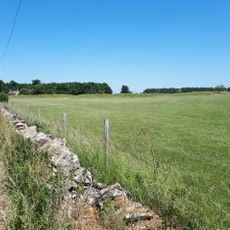
Windrush camp
622 m
The Lower House
2.6 km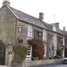
Inn For All Seasons
2.1 km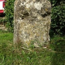
Milestone
2.2 km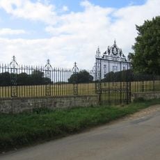
Clairvoyee, Gate And Piers Set Within The Eastern Boundary Wall Of Barrington Park
3.2 km
Windrush Mill
2 km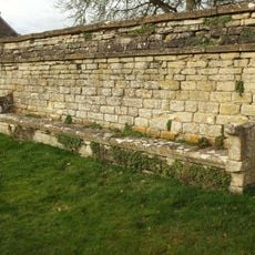
Wall Incorporating Stone Seat Forming The Northern Boundary To The Churchyard Of The Church Of St Mary
2.8 km
Milestone
3.1 km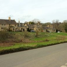
The Old Forge
2.5 km
Walled Garden East Of The Church Of St Mary, Barrington Park
2.8 km
Green Close
2.4 km
Dunford House
2.5 km
The Hollies
3.3 km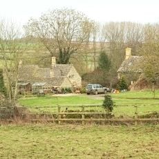
2, Minnow Lane
2.8 km
Pair Of Adjoining Barns Circa 4 Metres West Of Stable Block At Greendrive Farmhouse
2.3 km
Village Farmhouse
2.4 km
Milestone, New Covert
1.7 km
Milestone, E of Aldsworth
2.5 km
Milestone, E of Barrington; W of Hollowbarn Farm
2.2 km
Milestone, Cat's Alley Barn, opp. jct to Westwell
3.1 kmRecensioni
Ha visitato questo luogo? Tocchi le stelle per valutarlo e condividere la Sua esperienza o foto con la community! Provalo ora! Puoi annullarlo in qualsiasi momento.
Scopri tesori nascosti ad ogni viaggio!
Da piccoli caffè caratteristici a panorami nascosti, fuggi dalla folla e scova i posti che fanno davvero per te. La nostra app ti semplifica tutto: ricerca vocale, filtri furbi, percorsi ottimizzati e dritte autentiche da viaggiatori di tutto il mondo. Scaricala subito per vivere l'avventura sul tuo smartphone!

Un nuovo approccio alla scoperta turistica❞
— Le Figaro
Tutti i luoghi che meritano di essere esplorati❞
— France Info
Un’escursione su misura in pochi clic❞
— 20 Minutes