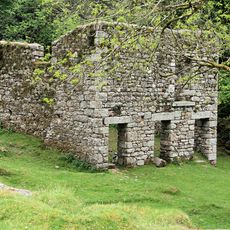
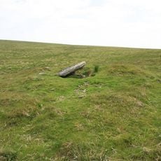
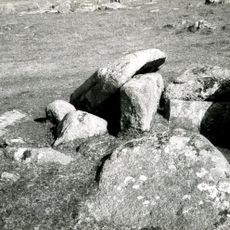
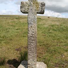
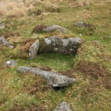
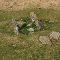
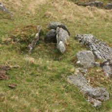
Kistvaen di Dartmoor, Camere sepolcrali in pietra a Dartmoor, Inghilterra.
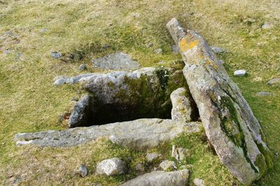
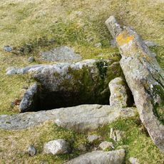
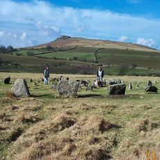
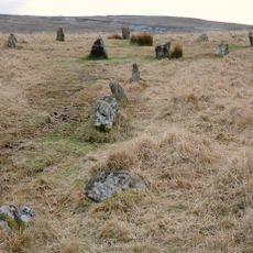
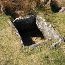
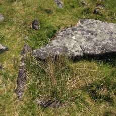
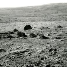
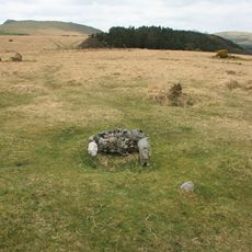
I kistvaen di Dartmoor sono camere rettangolari costruite con quattro lastre di pietra verticali che formano le pareti, coperte da una grande lastra piatta per creare uno spazio sigillato. Ogni struttura era progettata per contenere i resti umani e gli oggetti funerari in una camera protetta.
Queste camere di pietra furono costruite tra il 2500 e il 1500 a.C. durante la tarda età della pietra e l'inizio dell'età del bronzo nel paesaggio di Dartmoor. Dimostrano come questo metodo di sepoltura sia persistito mentre le comunità si sviluppavano nel corso di diversi secoli.
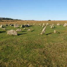
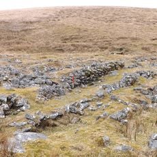
Le camere di pietra erano orientate con attenzione verso direzioni specifiche, riflettendo il modo in cui le comunità antiche concepivano la morte e il legame con il territorio. Camminando tra di esse, si avverte quanto fosse deliberato ogni dettaglio in questi luoghi funerari.
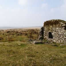
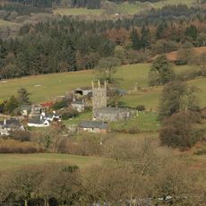
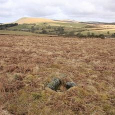
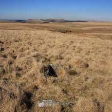
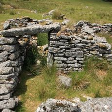
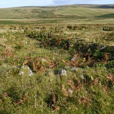
Diverse di queste strutture possono essere visitate seguendo i sentieri segnalati del Parco Nazionale di Dartmoor, in particolare intorno a Whitehorse Hill vicino a Chagford. Il terreno è una brughiera aperta, quindi i visitatori dovrebbero essere preparati ai cambiamenti meteorologici e verificare le condizioni prima di partire.
Un numero notevole di queste camere funerarie si allinea con le posizioni del sole e delle stelle, mostrando che i loro costruttori avevano una conoscenza attenta del cielo. Questo posizionamento preciso era tutt'altro che accidentale e rivela qualcosa di più profondo su come queste comunità comprendevano il cosmo.
La comunità dei viaggiatori curiosi
AroundUs riunisce migliaia di luoghi selezionati, consigli locali e gemme nascoste, arricchiti ogni giorno da oltre 60,000 contributori in tutto il mondo.