
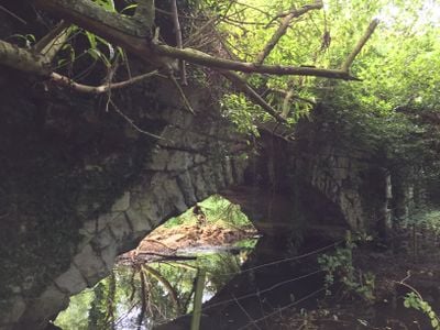
Roman Bridge, bridge in United Kingdom
Posizione: London Borough of Hounslow
Coordinate GPS: 51.49860,-0.35320
Ultimo aggiornamento: 2 marzo 2025 alle 23:53
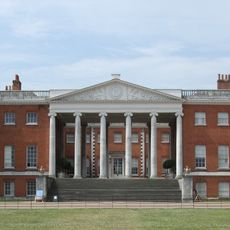
Osterley Park
1 km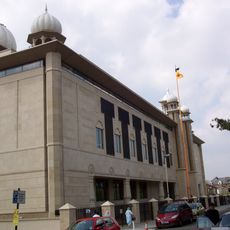
Gurdwara Sri Guru Singh Sabha
1.9 km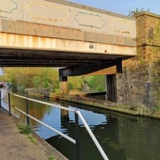
Windmill Bridge
664 m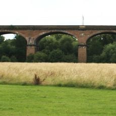
Wharncliffe Viaduct
1.5 km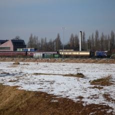
Southall Railway Centre
1.5 km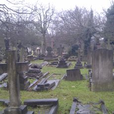
City of Westminster Cemetery, Hanwell
1.8 km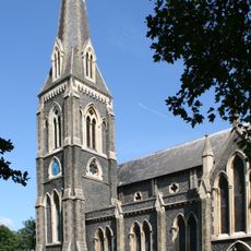
St. Mary's Church, Hanwell
1.7 km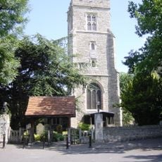
St Leonard's Church, Heston
2 km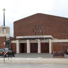
St Anselm's Church, Southall
2 km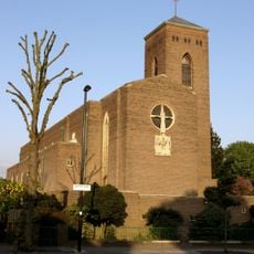
Church of St Thomas the Apostle
1.6 km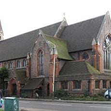
Church of St Mellitus
1.7 km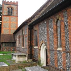
Church of St Mary
999 m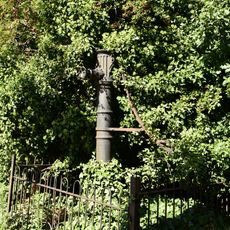
Water Pump (On The South Side Of West Middlesex Golf Course, Nearly Opposite Lyndhurst Avenue)
1.5 km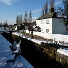
Walls, Gates, Sluices And Bridge At Lock (90)
774 m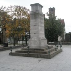
Southall War Memorial
2 km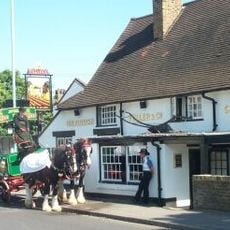
The Plough Public House
968 m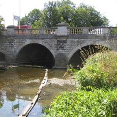
Hanwell Bridge
1.3 km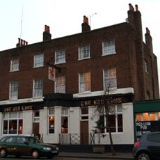
Red Lion Public House
1.8 km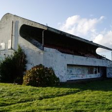
Pavilion And Clubhouse
1.9 km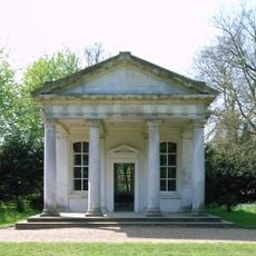
The Temple In Osterley Park
927 m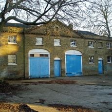
Stable Block At Brent Lodge Park
1.7 km
Former Norwood Free School
937 m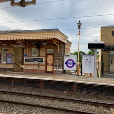
Main Up Side Building and Downside Island Platform at Hanwell Station
1.8 km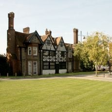
Southall Manor House
2 km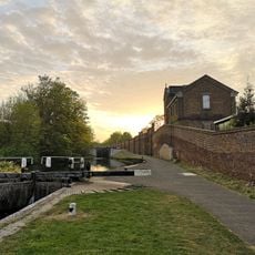
Hanwell flight of locks and brick boundary wall of St Bernard's Hospital
784 m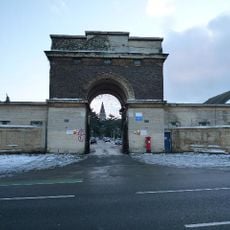
Entrance Archway And 2 Lodges, (One Each Side Of Entrance) To St Bernard's Hospital
1.2 km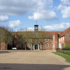
Osterley House Stables
927 m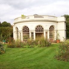
Aviary or Little Orangerey in Osterley Park
875 mRecensioni
Ha visitato questo luogo? Tocchi le stelle per valutarlo e condividere la Sua esperienza o foto con la community! Provalo ora! Puoi annullarlo in qualsiasi momento.
Scopri tesori nascosti ad ogni viaggio!
Da piccoli caffè caratteristici a panorami nascosti, fuggi dalla folla e scova i posti che fanno davvero per te. La nostra app ti semplifica tutto: ricerca vocale, filtri furbi, percorsi ottimizzati e dritte autentiche da viaggiatori di tutto il mondo. Scaricala subito per vivere l'avventura sul tuo smartphone!

Un nuovo approccio alla scoperta turistica❞
— Le Figaro
Tutti i luoghi che meritano di essere esplorati❞
— France Info
Un’escursione su misura in pochi clic❞
— 20 Minutes