
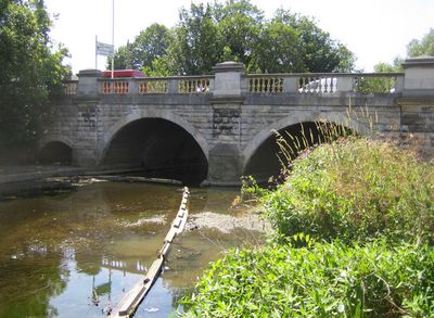
Hanwell Bridge, road bridge over the River Brent in Ealing, London
Posizione: London Borough of Ealing
Coordinate GPS: 51.50827,-0.34288
Ultimo aggiornamento: 23 settembre 2025 alle 17:46
Windmill Bridge
970 m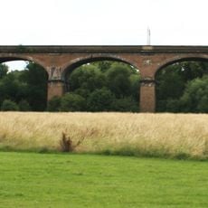
Wharncliffe Viaduct
300 m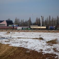
Southall Railway Centre
1.9 km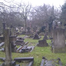
City of Westminster Cemetery, Hanwell
782 m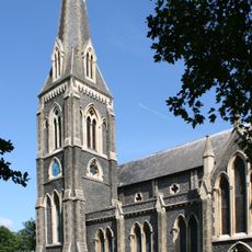
St. Mary's Church, Hanwell
693 m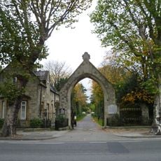
Royal Borough of Kensington and Chelsea Cemetery, Hanwell
842 m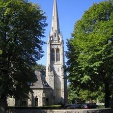
St Stephen's Church
2.1 km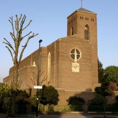
Church of St Thomas the Apostle
1.2 km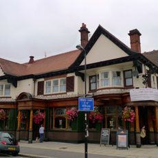
The Forester
1.6 km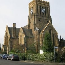
St John's Church
1.8 km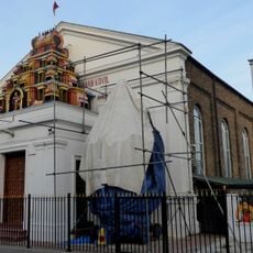
Ealing Amman Temple
1.7 km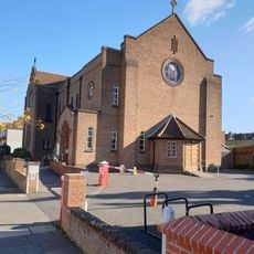
Roman Catholic Church of SS Peter and Paul
2 km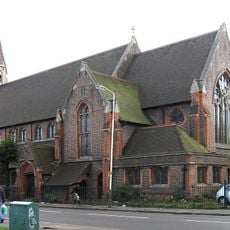
Church of St Mellitus
561 m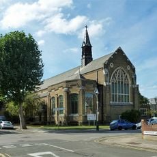
St Paul's Ealing
1.9 km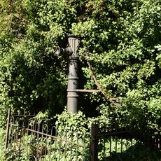
Water Pump (On The South Side Of West Middlesex Golf Course, Nearly Opposite Lyndhurst Avenue)
1.3 km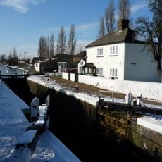
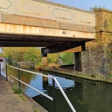
Walls, Gates, Sluices And Bridge At Lock (90)
1.6 km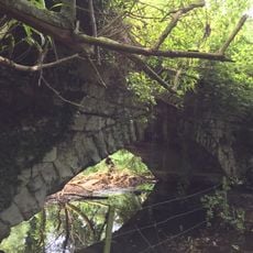
Roman Bridge
1.3 km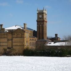
Hanwell Community Centre
1.5 km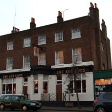
Red Lion Public House
2 km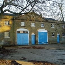
Stable Block At Brent Lodge Park
639 m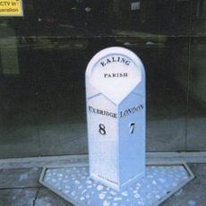
Milepost (Outside Number 173)
1.8 km
Former Norwood Free School
2.1 km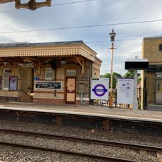
Main Up Side Building and Downside Island Platform at Hanwell Station
500 m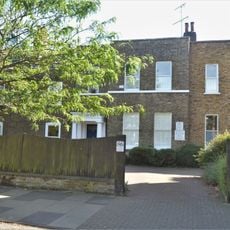
86, Mattock Lane W13
2.1 km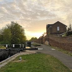
Hanwell flight of locks and brick boundary wall of St Bernard's Hospital
523 m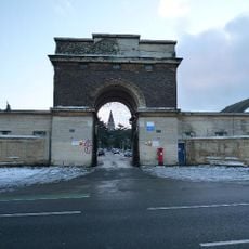
Entrance Archway And 2 Lodges, (One Each Side Of Entrance) To St Bernard's Hospital
460 m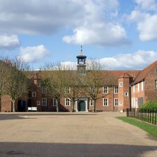
Osterley House Stables
2.1 km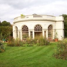
Aviary or Little Orangerey in Osterley Park
2.1 kmRecensioni
Ha visitato questo luogo? Tocchi le stelle per valutarlo e condividere la Sua esperienza o foto con la community! Provalo ora! Puoi annullarlo in qualsiasi momento.
Scopri tesori nascosti ad ogni viaggio!
Da piccoli caffè caratteristici a panorami nascosti, fuggi dalla folla e scova i posti che fanno davvero per te. La nostra app ti semplifica tutto: ricerca vocale, filtri furbi, percorsi ottimizzati e dritte autentiche da viaggiatori di tutto il mondo. Scaricala subito per vivere l'avventura sul tuo smartphone!

Un nuovo approccio alla scoperta turistica❞
— Le Figaro
Tutti i luoghi che meritano di essere esplorati❞
— France Info
Un’escursione su misura in pochi clic❞
— 20 Minutes