
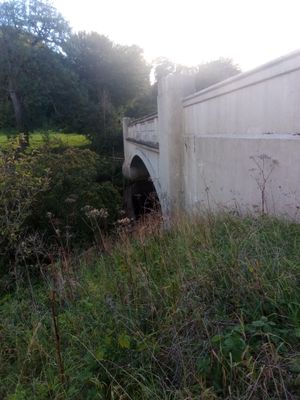
Ferniehirst Bridge, bridge south of Jedburgh, Scottish Borders, Scotland, UK, carries the A68 road across Jed Water
Posizione: Scottish Borders
Posizione: Jedburgh
Coordinate GPS: 55.45810,-2.55863
Ultimo aggiornamento: 6 aprile 2025 alle 20:30
Ferniehirst Castle
630 m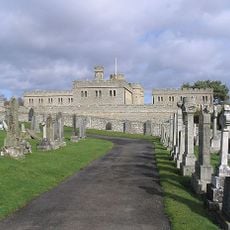
Castello di Jedburgh
1.8 km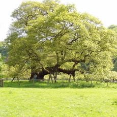
Capon Oak Tree
522 m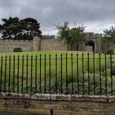
Jedburgh Castle Jail & Museum
1.8 km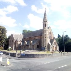
Old Parish Church
1.9 km
Inchbonny, Newcastle Road, Jedburgh
1.3 km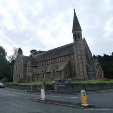
Jedburgh, High Street, Trinity Church
1.9 km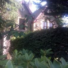
Kirkland House
1.8 km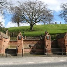
Gatepiers And Boundary Wall, Allerley Well Park, Newcastle Road, Jedburgh
1.7 km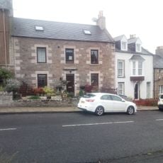
89 Castlegate, Jedburgh
1.9 km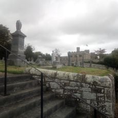
Castlegate Cemetery
1.7 km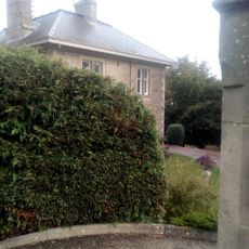
The Hermitage, Galahill, Jedburgh
1.8 km
Drinking Fountain, Allerley Well Park, Newcastle Road, Jedburgh
1.7 km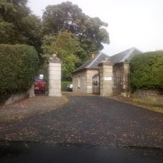
Lodge, Glenburn Hall
1.6 km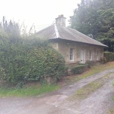
Lodge, Lintlee
186 m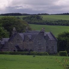
Hundalee
394 m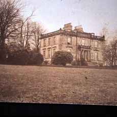
Glenburn Hall
1.8 km
74 Castlegate, Jedburgh
1.9 km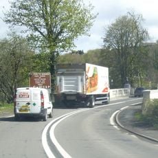
Jedburgh, Newcastle Road, Inchbonny Bridge
1.2 km
91 Castlegate, Jedburgh
1.9 km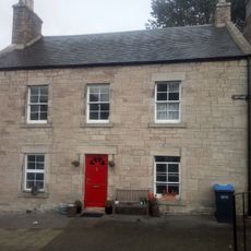
76 Castlegate, Jedburgh
1.9 km
Lynwell And Castle Dene,
1.9 km
Jedwater House, Outbuilding
1.1 km
72 Castlegate, Jedburgh
1.9 km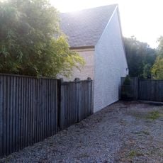
Garage, Inchbonny, Newcastle Road, Jedburgh
1.4 km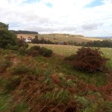
Stables, Glenburn Hall
1.8 km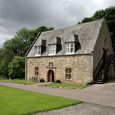
Ferniehirst Castle Visitor Centre (Former Chapel)
609 m
Glendouglas
972 mRecensioni
Ha visitato questo luogo? Tocchi le stelle per valutarlo e condividere la Sua esperienza o foto con la community! Provalo ora! Puoi annullarlo in qualsiasi momento.
Scopri tesori nascosti ad ogni viaggio!
Da piccoli caffè caratteristici a panorami nascosti, fuggi dalla folla e scova i posti che fanno davvero per te. La nostra app ti semplifica tutto: ricerca vocale, filtri furbi, percorsi ottimizzati e dritte autentiche da viaggiatori di tutto il mondo. Scaricala subito per vivere l'avventura sul tuo smartphone!

Un nuovo approccio alla scoperta turistica❞
— Le Figaro
Tutti i luoghi che meritano di essere esplorati❞
— France Info
Un’escursione su misura in pochi clic❞
— 20 Minutes