
Laysters, civil parish in Herefordshire, England
Posizione: Herefordshire
Coordinate GPS: 52.26700,-2.63417
Ultimo aggiornamento: 2 aprile 2025 alle 03:26
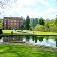
Burford House
4.8 km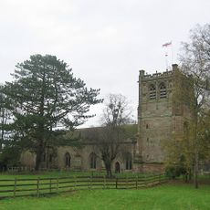
St Mary's Church, Burford
4.9 km
Tenbury Museum
5.3 km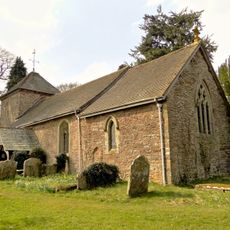
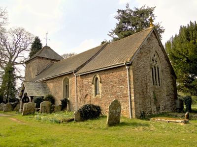
Church of St Andrew
146 m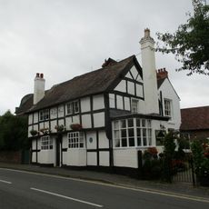
The Kings Head Inn
5.4 km
Church of St Michael, Bockleton
3.2 km
Church of St Peter
3.6 km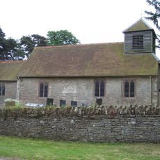
Church of St Leonard
4.4 km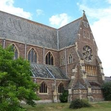
Church of St Michael and All Angels
2.8 km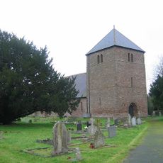
Church of St Mary Magdalene
4.8 km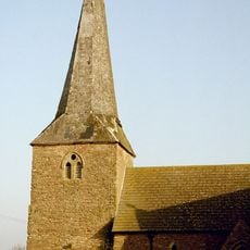
Church of St James
4.6 km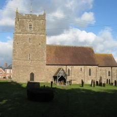
Church of St Mary
3 km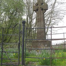
Bockleton War Memorial
3.3 km
Nurton Court
3.1 km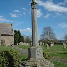
Kimbolton War Memorial
4.6 km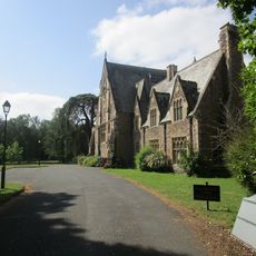
St Michael's College And Adjoining Cloister
2.8 km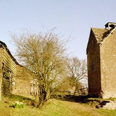
Dovecot Approximately 20 Metres South West Of Upper Bache Farmhouse
4.3 km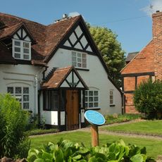
The Oak House
5.3 km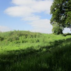
Castle mound, Laysters
179 m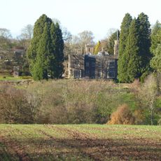
Pudleston Court
4.2 km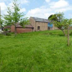
Barn And Adjoining Outbuilding About 25 Yards South-East Of Lower Town Farmhouse
4.1 km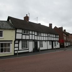
1 and 3, Cross Street
5.5 km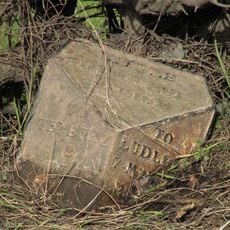
Milepost, W of Chestnut Cottage
4.8 km
Summerhouse Approximately 30 Metres South East Of Middleton Farmhouse
3 km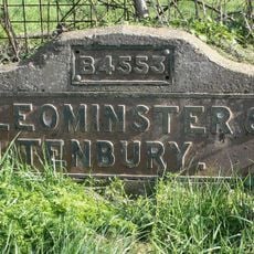
Milestone, Oldwood, opposite Fountain PH
4.2 km
Milestone, Splash Bridge
5.1 km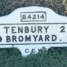
Milestone, Sutton Court
5.2 km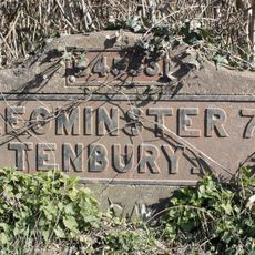
Milestone, N of Cadmore Bridge, St Michaels; 10m from de-restriction sign
2.6 kmRecensioni
Ha visitato questo luogo? Tocchi le stelle per valutarlo e condividere la Sua esperienza o foto con la community! Provalo ora! Puoi annullarlo in qualsiasi momento.
Scopri tesori nascosti ad ogni viaggio!
Da piccoli caffè caratteristici a panorami nascosti, fuggi dalla folla e scova i posti che fanno davvero per te. La nostra app ti semplifica tutto: ricerca vocale, filtri furbi, percorsi ottimizzati e dritte autentiche da viaggiatori di tutto il mondo. Scaricala subito per vivere l'avventura sul tuo smartphone!

Un nuovo approccio alla scoperta turistica❞
— Le Figaro
Tutti i luoghi che meritano di essere esplorati❞
— France Info
Un’escursione su misura in pochi clic❞
— 20 Minutes