
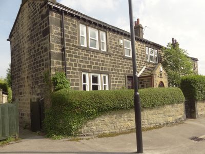
2,6 And 8, Bachelor Lane, building in Horsforth, Leeds, West Yorkshire, UK
Posizione: Horsforth
Coordinate GPS: 53.84158,-1.63547
Ultimo aggiornamento: 17 marzo 2025 alle 21:05
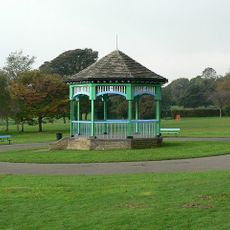
Horsforth Hall Park
950 m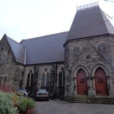
Grove Methodist Church
626 m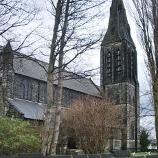
Church of St Margaret
501 m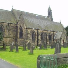
Church of St James
662 m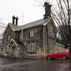
Fox And Hounds Public House
924 m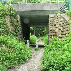
Daffy Wood
1.1 km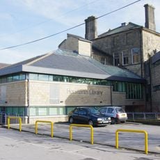
Horsforth Library
238 m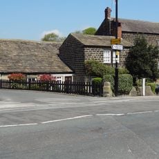
Station House With Horsforth Pottery And Barn (Both Attached)
707 m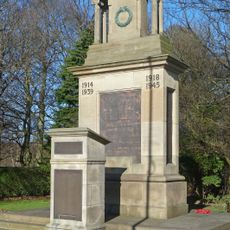
Horsforth War Memorial
1 km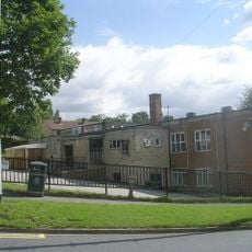
Tinshill and Cookridge Social Club
801 m
Low Fold
1.3 km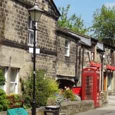
K6 Telephone Kiosk Adjacent To The Old Kings Arms Public House
720 m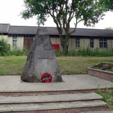
Stanhope Drive War Memorial
483 m
Upper Bank House
754 m
Lee Lane Farmhouse
903 m
Grove Manse
638 m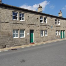
79,81 And 83, Town Street
431 m
Troy Hill
531 m
Croft House
66 m
Clapper Bridge
538 m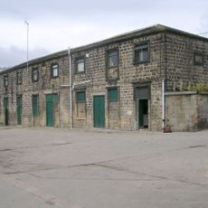
Stable Block To Former Horsforth Hall
852 m
4, Hall Lane
744 m
6, Hall Lane
767 m
123-135, Town Street
191 m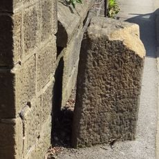
Gritstone pillar with three cup marks in the north pavement of the A65 at Horsforth, 440m south east of the roundabout at Low Fold
1.2 km
Milestone, New Road Side, Horsforth
1.2 km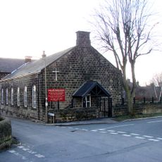
Baptist Sunday School And Attached House
903 m
Horsforth Community Hub
242 mRecensioni
Ha visitato questo luogo? Tocchi le stelle per valutarlo e condividere la Sua esperienza o foto con la community! Provalo ora! Puoi annullarlo in qualsiasi momento.
Scopri tesori nascosti ad ogni viaggio!
Da piccoli caffè caratteristici a panorami nascosti, fuggi dalla folla e scova i posti che fanno davvero per te. La nostra app ti semplifica tutto: ricerca vocale, filtri furbi, percorsi ottimizzati e dritte autentiche da viaggiatori di tutto il mondo. Scaricala subito per vivere l'avventura sul tuo smartphone!

Un nuovo approccio alla scoperta turistica❞
— Le Figaro
Tutti i luoghi che meritano di essere esplorati❞
— France Info
Un’escursione su misura in pochi clic❞
— 20 Minutes