
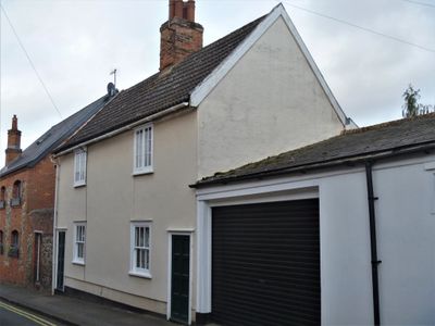
2, Friars Lane, building in Bury St. Edmunds, St. Edmundsbury, Suffolk, UK
Posizione: Bury St Edmunds
Coordinate GPS: 52.24063,0.71448
Ultimo aggiornamento: 13 marzo 2025 alle 16:18
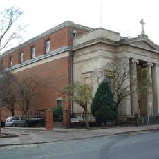
St Edmund's Church, Bury St Edmunds
95 m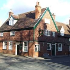
Rose And Crown Public House
85 m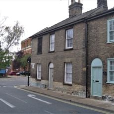
49, Whiting Street
94 m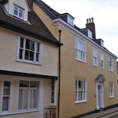
Warwick House
145 m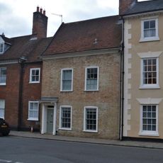
23, Westgate Street
124 m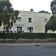
Highbury House
65 m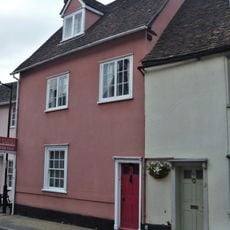
57, Whiting Street
142 m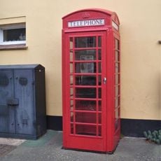
K6 Telephone Kiosk
143 m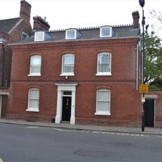
18, Westgate Street
68 m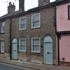
50 And 51, Whiting Street
100 m
54 And 55, Whiting Street
110 m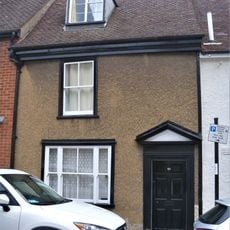
40, Whiting Street
115 m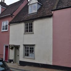
58, Whiting Street
148 m
Greene King Maltings On South East Corner Of College Street
90 m
38, Whiting Street
126 m
14 And 15, Westgate Street
30 m
Number 16 And Attached Wall
34 m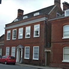
17, Westgate Street
54 m
41 And 43, Whiting Street
111 m
The Presbytery
111 m
36, Whiting Street
131 m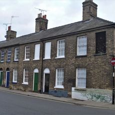
42-48, Westgate Street
101 m
Stable And Wall Between Numbers 36 And 40 (Number 36 Not Included)
100 m
33 And 34, Whiting Street
146 m
58-61, Westgate Street
70 m
Turret House
138 m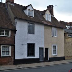
53 And 54, Westgate Street
71 m
St Enodoc (Number 42)
125 mRecensioni
Ha visitato questo luogo? Tocchi le stelle per valutarlo e condividere la Sua esperienza o foto con la community! Provalo ora! Puoi annullarlo in qualsiasi momento.
Scopri tesori nascosti ad ogni viaggio!
Da piccoli caffè caratteristici a panorami nascosti, fuggi dalla folla e scova i posti che fanno davvero per te. La nostra app ti semplifica tutto: ricerca vocale, filtri furbi, percorsi ottimizzati e dritte autentiche da viaggiatori di tutto il mondo. Scaricala subito per vivere l'avventura sul tuo smartphone!

Un nuovo approccio alla scoperta turistica❞
— Le Figaro
Tutti i luoghi che meritano di essere esplorati❞
— France Info
Un’escursione su misura in pochi clic❞
— 20 Minutes