
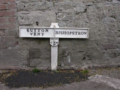
Boundary Post, boundary marker in Sutton Veny, Wiltshire, UK
Posizione: Sutton Veny
Parte di: political border
Coordinate GPS: 51.19130,-2.15394
Ultimo aggiornamento: 3 aprile 2025 alle 08:51
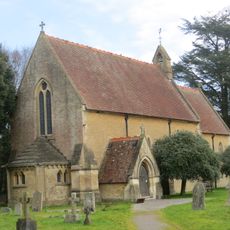
St John's Church, Warminster
1.3 km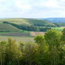
Scratchbury Camp
2.1 km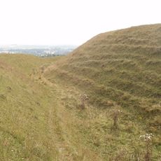
Battlesbury Camp
2.1 km
Warminster Athenaeum
2.5 km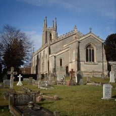
Christ Church, Warminster
2.5 km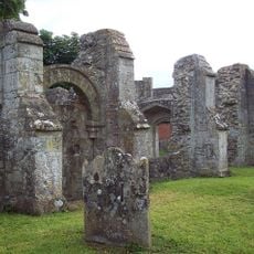
St Leonard's Church, Sutton Veny
2.5 km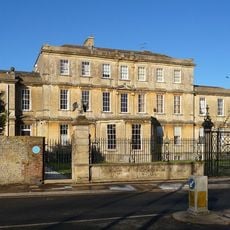
Portway House
2.7 km
Town Hall
2.4 km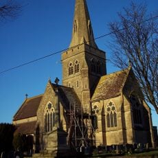
Church of St John the Evangelist
2.1 km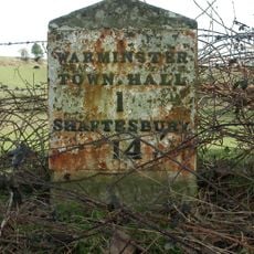
Milestone, Deverill Road; opp. no 124 (farm cottage)
2.6 km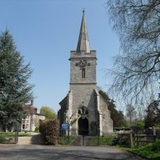
Church of St Aldhelm
255 m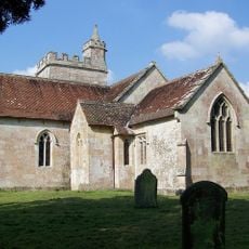
All Saints' Church
1.4 km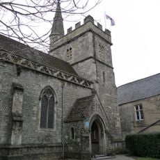
Chapel Of St Lawrence
2.5 km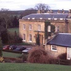
Bishopstrow House Hotel
827 m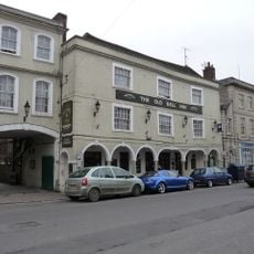
The Old Bell Public House
2.3 km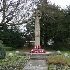
Warminster War Memorial
2.6 km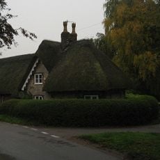
Turnpike Cottage
1.7 km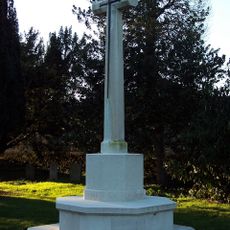
Sutton Veny War Memorial
2.1 km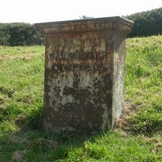
Milestone
2.2 km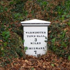
Milepost Opposite Sutton Veny County Primary School
2 km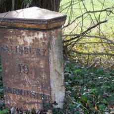
Milepost About 250 Metres West Of Drive To Old Rectory
1.2 km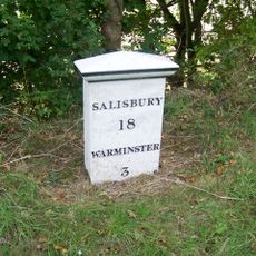
Milepost About 150 Metres To East Of Junction With B3095
2.6 km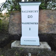
Milestone about 70 yards from turning to Boreham
757 m
Holly Lodge
1.5 km
The Chantry
2.6 km
Robin Hood's Bower earthwork enclosure in Southleigh Wood
2.1 km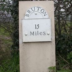
Milestone, 100m E jcn road to Norton Bavant 50m E of Langleys Gore
2 km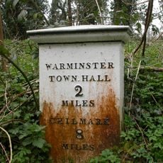
Milepost, 200m S of A303 jct
600 mRecensioni
Ha visitato questo luogo? Tocchi le stelle per valutarlo e condividere la Sua esperienza o foto con la community! Provalo ora! Puoi annullarlo in qualsiasi momento.
Scopri tesori nascosti ad ogni viaggio!
Da piccoli caffè caratteristici a panorami nascosti, fuggi dalla folla e scova i posti che fanno davvero per te. La nostra app ti semplifica tutto: ricerca vocale, filtri furbi, percorsi ottimizzati e dritte autentiche da viaggiatori di tutto il mondo. Scaricala subito per vivere l'avventura sul tuo smartphone!

Un nuovo approccio alla scoperta turistica❞
— Le Figaro
Tutti i luoghi che meritano di essere esplorati❞
— France Info
Un’escursione su misura in pochi clic❞
— 20 Minutes