
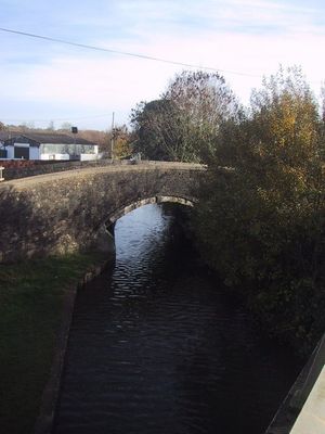
Canal Bridge Approximately 60 Metres West Of The Rock Of Gibraltar Public House
Canal Bridge Approximately 60 Metres West Of The Rock Of Gibraltar Public House, bridge in Bletchingdon, Cherwell, Oxfordshire, UK
Posizione: Bletchingdon
Coordinate GPS: 51.86080,-1.30392
Ultimo aggiornamento: 4 marzo 2025 alle 22:31
Manor Studio
1.7 km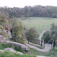
Kirtlington Quarry
2.1 km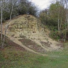
White Limestone Formation
2.1 km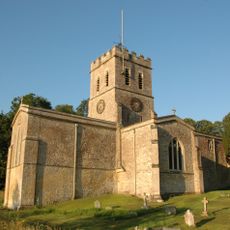
Church of St Nicholas
2 km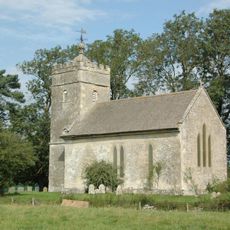
Church of St Giles
1.8 km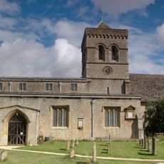
Church of St Mary, Kirtlington
2.3 km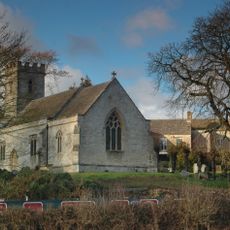
Church of Holy Cross
1.7 km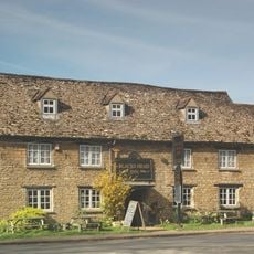
The Blacks Head Public House
2.2 km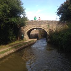
Oxford Canal Bridge At Pigeons Lock
1.3 km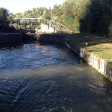
Bridge At Shipton Weir Lock, Oxford Canal
1.5 km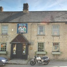
The Oxford Arms Public House And Adjoining Cottage
2.3 km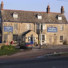
Rock Of Gibraltar Public House
78 m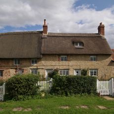
Thrupp Yard Cottages and attched outbuilding
2.4 km
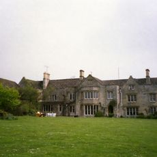
The Manor and attached outbuildings
1.7 km
Shipton Lift Bridge (219) Sp 4850 1675, Oxford Canal
1.6 km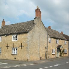
Old Red Lion
2.3 km
Lower Whitehill Farmhouse
674 m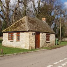
Squirrel's Drey
2.3 km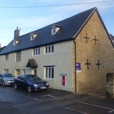
The Post Office Stores
2.3 km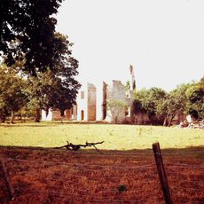
Ruins of Manor House
1.9 km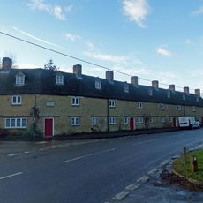
The Row
2.3 km
Manor Farmhouse
2 km
Village Farmhouse
2.4 km
Glendale
2.2 km
Monk's Head
2.4 km
The Malt House
2.4 km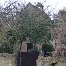
Dovecote and granary approximately 15 metres east of Manor Farmhouse
2.3 km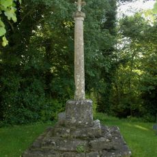
Shipton-on-Cherwell churchyard cross
1.7 kmRecensioni
Ha visitato questo luogo? Tocchi le stelle per valutarlo e condividere la Sua esperienza o foto con la community! Provalo ora! Puoi annullarlo in qualsiasi momento.
Scopri tesori nascosti ad ogni viaggio!
Da piccoli caffè caratteristici a panorami nascosti, fuggi dalla folla e scova i posti che fanno davvero per te. La nostra app ti semplifica tutto: ricerca vocale, filtri furbi, percorsi ottimizzati e dritte autentiche da viaggiatori di tutto il mondo. Scaricala subito per vivere l'avventura sul tuo smartphone!

Un nuovo approccio alla scoperta turistica❞
— Le Figaro
Tutti i luoghi che meritano di essere esplorati❞
— France Info
Un’escursione su misura in pochi clic❞
— 20 Minutes