
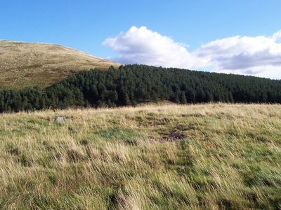
Burnt Humbleton, hillfort in Scottish Borders, Scotland, UK
Posizione: Scottish Borders
Posizione: Yetholm
Coordinate GPS: 55.54584,-2.23595
Ultimo aggiornamento: 3 marzo 2025 alle 04:52
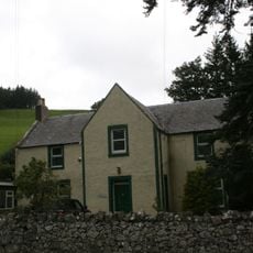
Peniel Revival Centre, Halterburn
1.6 km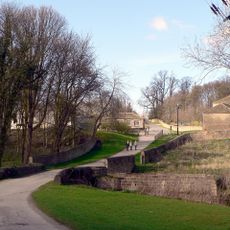
Bridge Over The Stank
3.1 km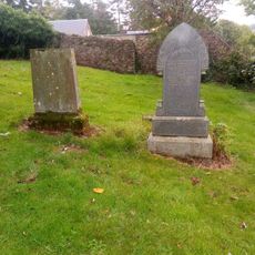
Kirk Yetholm, Parish Church, Graveyard
2.6 km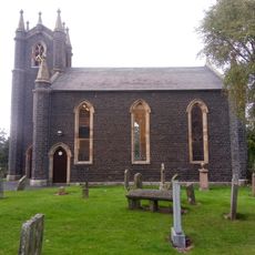
Kirk Yetholm Parish Church
2.6 km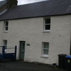
The Vardo, The Green, Kirk Yetholm
2.5 km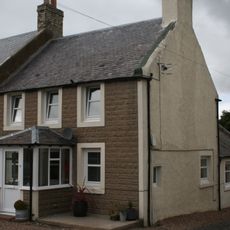
Staerough View, Main Street, Kirk Yetholm
2.6 km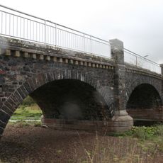
Yetholm Bridge
2.9 km
1 Mount View, Yetholm
3.2 km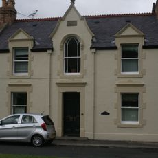
Mrs Turnbull, The Green, Kirk Yetholm
2.5 km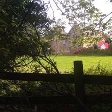
The Manse, Main Street, Kirk Yetholm
2.7 km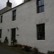
Valley Dene, High Street, Kirk Yetholm
2.4 km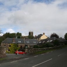
Yetholm Mill, Kirk Yetholm
2.7 km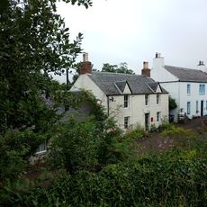
Rosebank, Venchen Road, Town Yetholm
3.2 km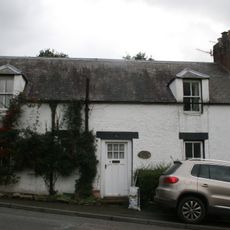
Lintonrig, High Street, Kirk Yetholm
2.5 km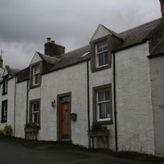
Glenview, High Street, Kirk Yetholm
2.4 km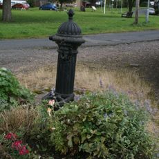
Water Pump, The Green, Kirk Yetholm
2.5 km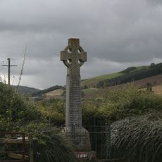
War Memorial, Yetholm
2.8 km
House, Yetholm Mill, Kirk Yetholm
2.7 km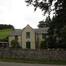
Halterburn
1.5 km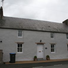
Kirk Yetholm, Main Street, Church View
2.5 km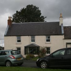
Mrs E Hirst, The Green, Kirk Yetholm
2.5 km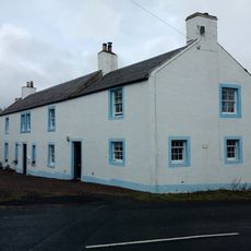
Old Manse, Venchen Road, Town Yetholm
3.2 km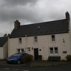
Kirk Yetholm, Main Street, Cross Keys House
2.5 km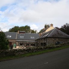
Cartshed And Granary, Yetholm Mill, Kirk Yetholm
2.7 km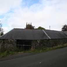
S Range, Farmsteading, Yetholm Mill, Kirk Yetholm
2.7 km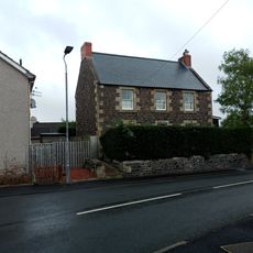
Smithy House, Dow Brae, Yetholm
3.2 km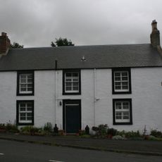
Hill View, High Street, Kirk Yetholm
2.5 km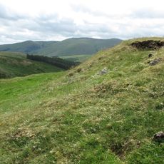
Ring Chesters defended settlement
1.7 kmRecensioni
Ha visitato questo luogo? Tocchi le stelle per valutarlo e condividere la Sua esperienza o foto con la community! Provalo ora! Puoi annullarlo in qualsiasi momento.
Scopri tesori nascosti ad ogni viaggio!
Da piccoli caffè caratteristici a panorami nascosti, fuggi dalla folla e scova i posti che fanno davvero per te. La nostra app ti semplifica tutto: ricerca vocale, filtri furbi, percorsi ottimizzati e dritte autentiche da viaggiatori di tutto il mondo. Scaricala subito per vivere l'avventura sul tuo smartphone!

Un nuovo approccio alla scoperta turistica❞
— Le Figaro
Tutti i luoghi che meritano di essere esplorati❞
— France Info
Un’escursione su misura in pochi clic❞
— 20 Minutes