
Cradley and Storridge, civil parish in Herefordshire, England
Posizione: Herefordshire
Coordinate GPS: 52.13300,-2.39600
Ultimo aggiornamento: 13 marzo 2025 alle 12:18
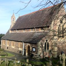
Church of St Peter, Cowleigh
4 km
Red Lion Inn
530 m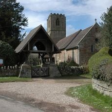
Church of St John the Baptist
2.6 km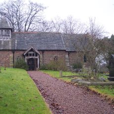
Church of St Andrew
4.4 km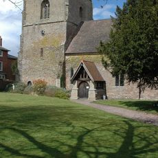
Church of St James
1.4 km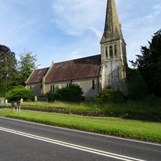
Church of St John the Evangelist
1.9 km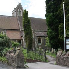
Church of St James
4 km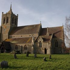
Church of St John the Baptist
3.4 km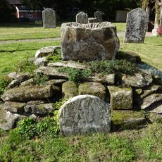
Base Of Preaching Cross, About 7 Yards South Of The Parish Church Of St John The Baptist
3.4 km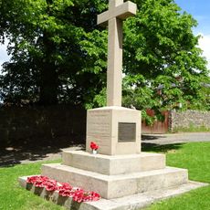
Maclean War Memorial
1.4 km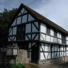
Cradley Village Hall
1.4 km
Crumpton Hill Farmhouse
2.9 km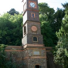
The Water Tower
4.2 km
Shaft Base Of Churchyard Cross
2.6 km
Barn, Stable And Cart Shed South East Of Upper Vinesend Farmhouse
2.2 km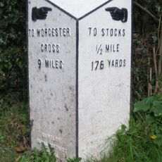
Milestone At Ngr So 730505
2 km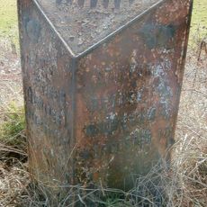
Milestone At So 723 474
1.1 km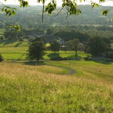
Netherley Hall
2 km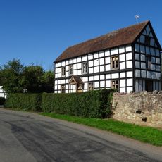
Brook House
2.6 km
Crumpton Oaks
2.7 km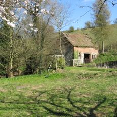
Barrow Mill
1.5 km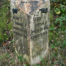
Milestone At So 749 486
2 km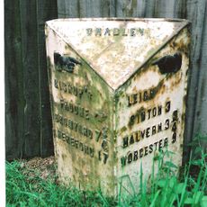
Milestone At So 737 481
752 m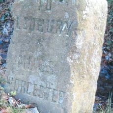
Milestone At So 713447
4.1 km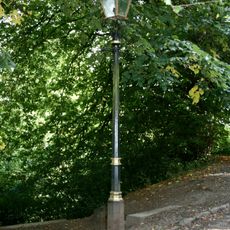
One Gas Street Lamp
4.4 km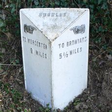
Milestone At Ngr So 728527
4.4 km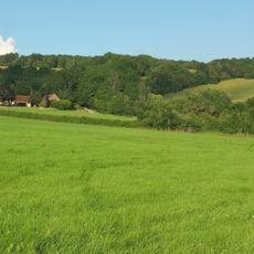
Upper Vinesend Farmhouse
2.1 km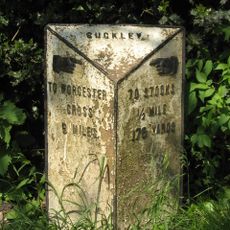
Milepost, Longley Green, opp. Nelson Inn PH
2 kmRecensioni
Ha visitato questo luogo? Tocchi le stelle per valutarlo e condividere la Sua esperienza o foto con la community! Provalo ora! Puoi annullarlo in qualsiasi momento.
Scopri tesori nascosti ad ogni viaggio!
Da piccoli caffè caratteristici a panorami nascosti, fuggi dalla folla e scova i posti che fanno davvero per te. La nostra app ti semplifica tutto: ricerca vocale, filtri furbi, percorsi ottimizzati e dritte autentiche da viaggiatori di tutto il mondo. Scaricala subito per vivere l'avventura sul tuo smartphone!

Un nuovo approccio alla scoperta turistica❞
— Le Figaro
Tutti i luoghi che meritano di essere esplorati❞
— France Info
Un’escursione su misura in pochi clic❞
— 20 Minutes